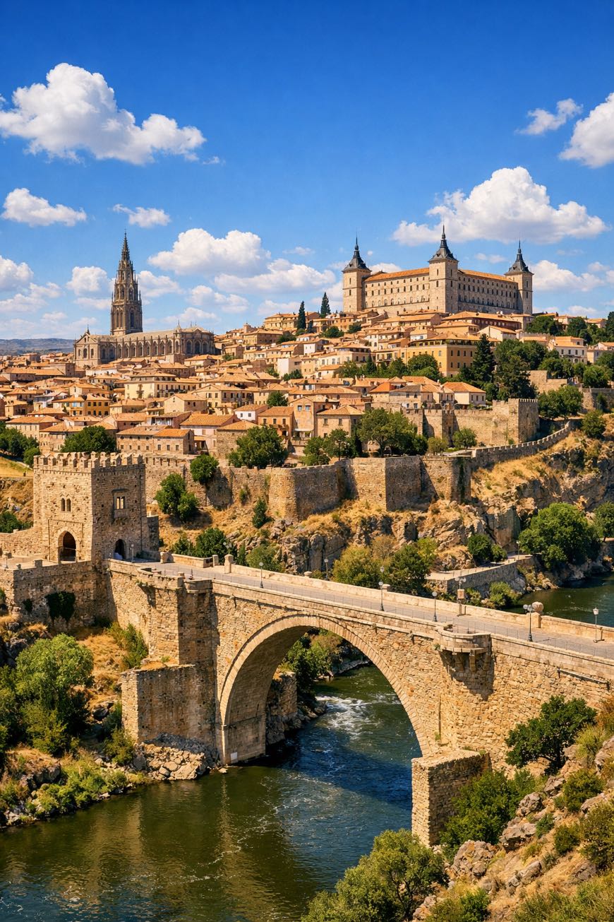
Camino del Levante
Castilla-La Mancha, Spain
Spain · València → Carcaboso
Distance
746 km
Stages
23
Difficulty
moderate
Best months
Apr-Jun, Sep-Oct
About
about 750 km from València to Granja de Moreruela, the Camino del Levante unfolds over 23 stages, a demanding trek with 10,516 m of elevation gain. It meanders through the historic Tornadizos de Ávila, where the scent of fresh bread fills the air, and the rolling hills of Castille-La Mancha test your resolve.
Each step connects you to the Camino Francés at Burgos, blending cultural heritage with natural beauty. Year-round, this route challenges both body and spirit, offering a profound sense of place and purpose, a journey through time, tradition, and the essence of Spain.
Stages
23 stages
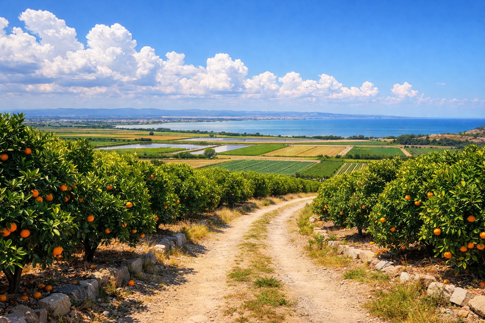 Stage 1
València → Algemesí
challengingDistance33 kmAscent120 mDescent122 m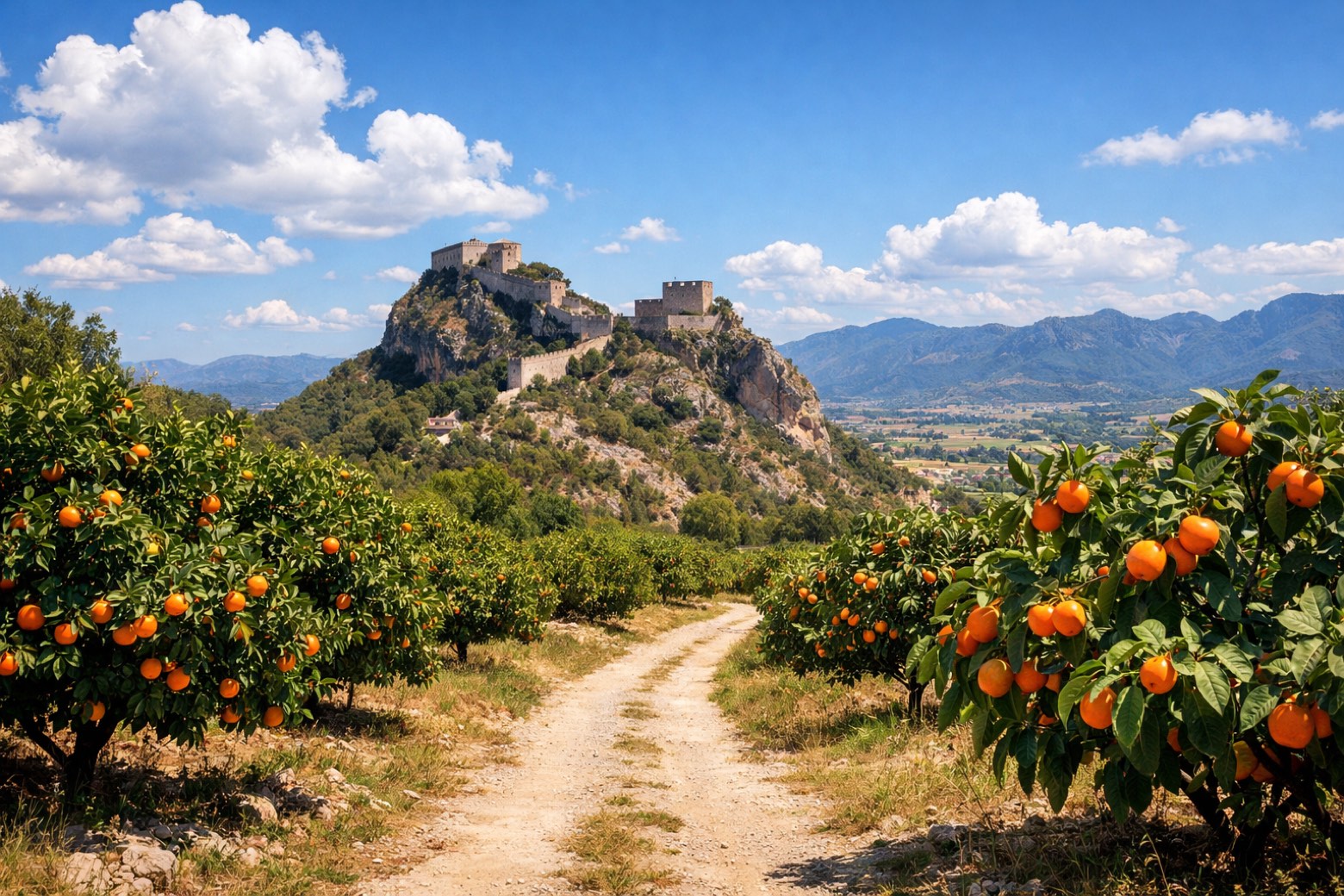 Stage 2
Algemesí → Xàtiva
challengingDistance28 kmAscent249 mDescent140 m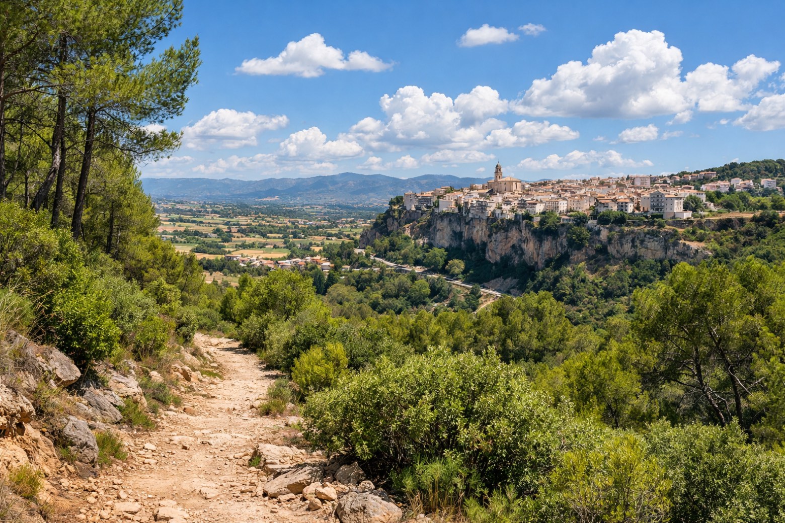 Stage 3
Xàtiva → Ontinyent
challengingDistance35 kmAscent354 mDescent239 m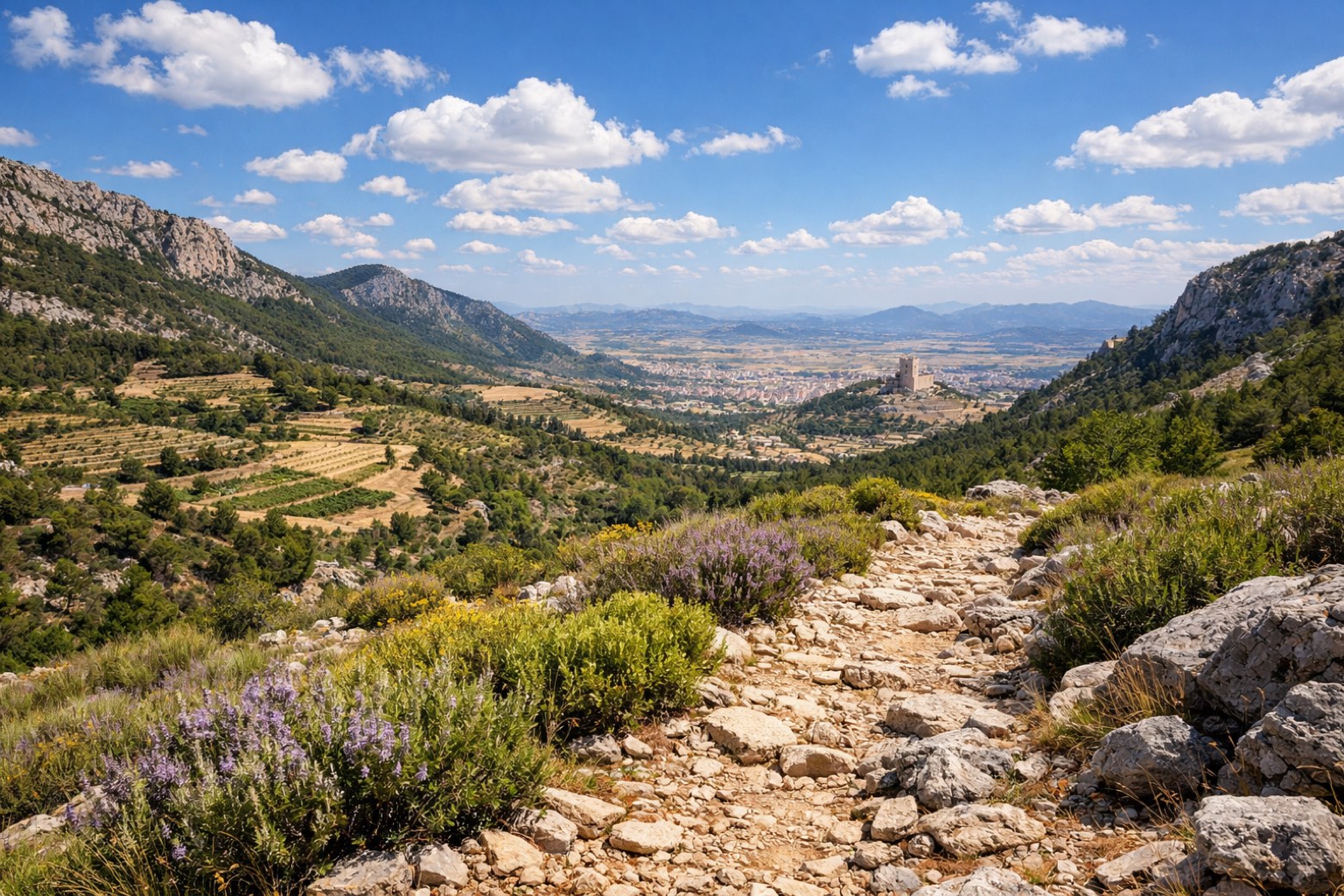 Stage 4
Ontinyent → Villena
challengingDistance40 kmAscent1223 mDescent825 m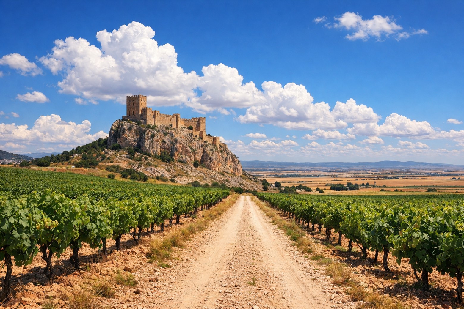 Stage 5
Villena → Almansa
challengingDistance30 kmAscent264 mDescent287 m- Stage 6
Almansa → Higueruela
challengingDistance28 kmAscent274 mDescent100 m - Stage 7
Higueruela → Chinchilla de Montearagón
challengingDistance28 kmAscent149 mDescent161 m - Stage 8
Chinchilla de Montearagón → Albacete
challengingDistance28 kmAscent67 mDescent248 m 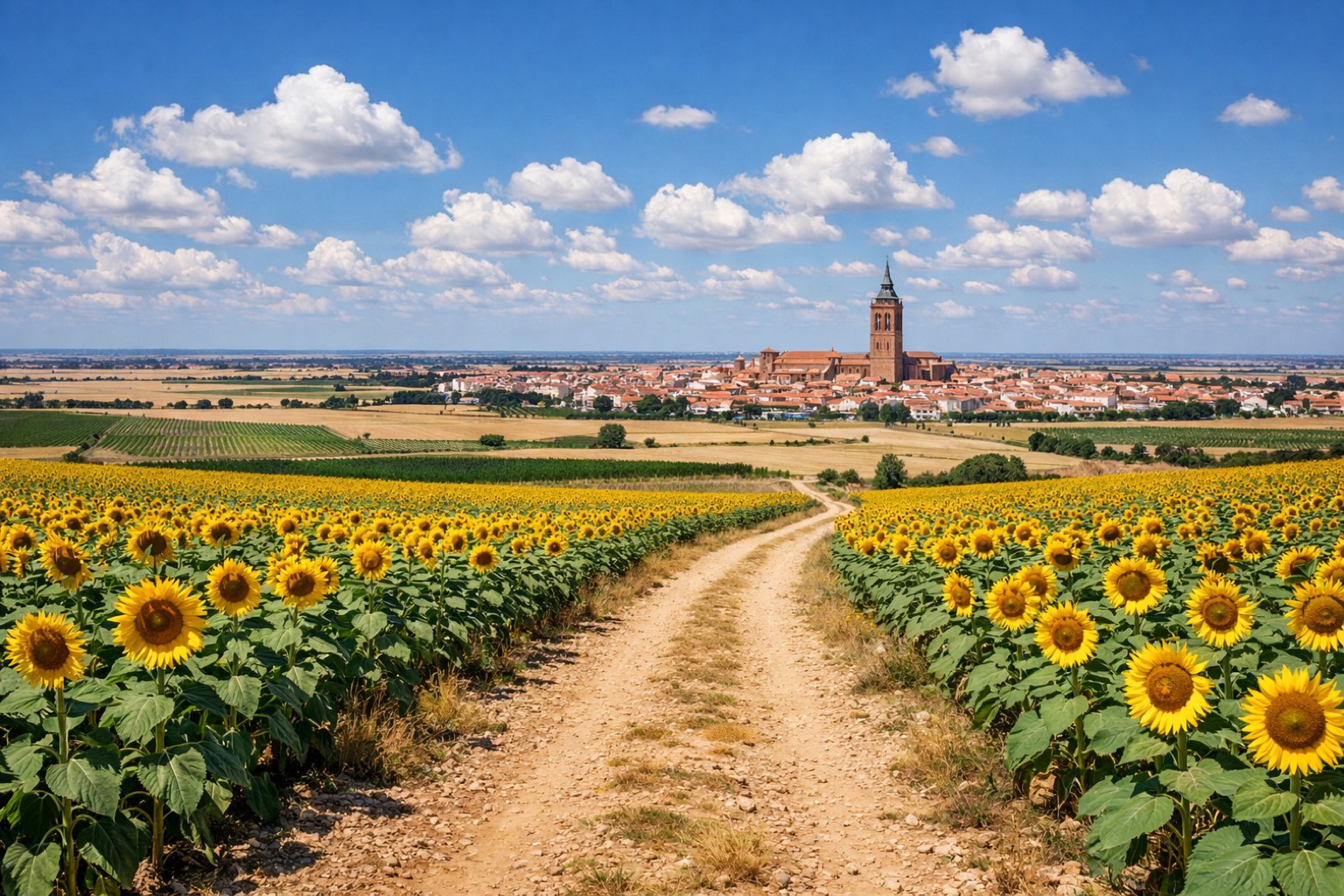 Stage 9
Albacete → La Roda
challengingDistance37 kmAscent249 mDescent189 m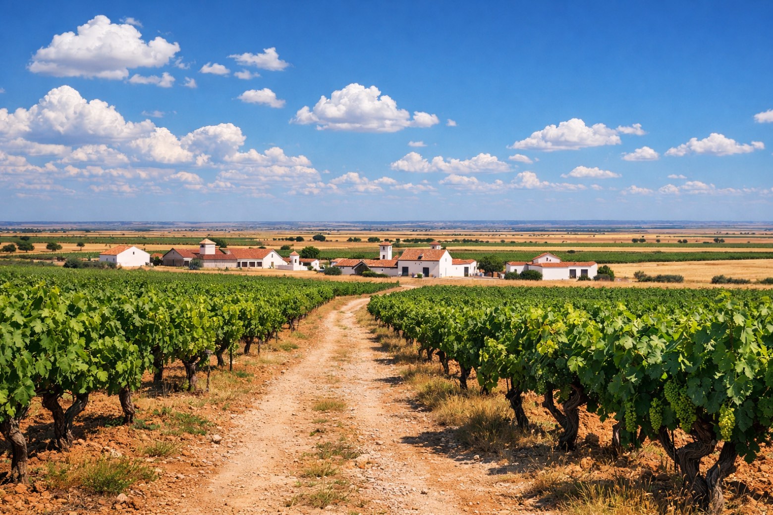 Stage 10
La Roda → El Provencio
challengingDistance40 kmAscent174 mDescent164 m Stage 11
El Provencio → Quintanar de la Orden
challengingDistance30 kmAscent390 mDescent438 m Stage 12Distance20 kmAscent0 mDescent8 m
 Stage 13
El Toboso → Alcázar de San Juan
challengingDistance35 kmAscent0 mDescent2 m Stage 14
Alcázar de San Juan → Madridejos
challengingDistance30 kmAscent104 mDescent776 m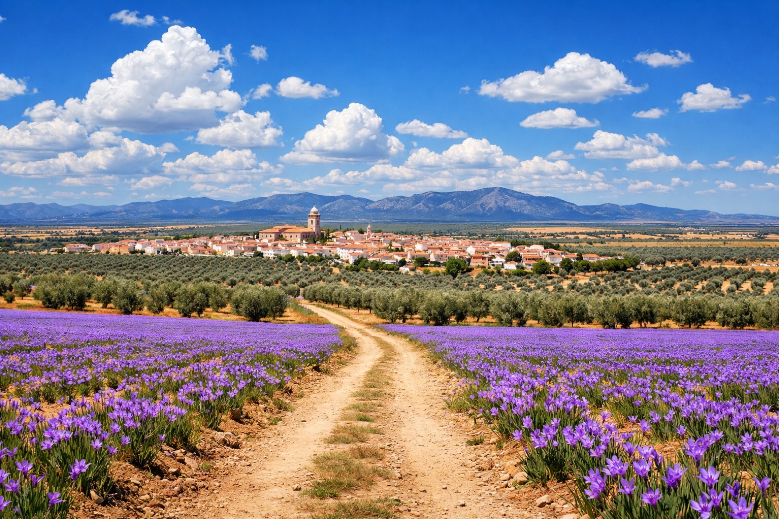 Stage 15
Madridejos → Mora
moderateDistance25 kmAscent953 mDescent230 m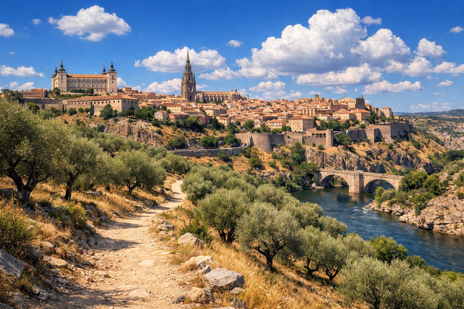 Stage 16
Mora → Toledo
challengingDistance40 kmAscent277 mDescent526 m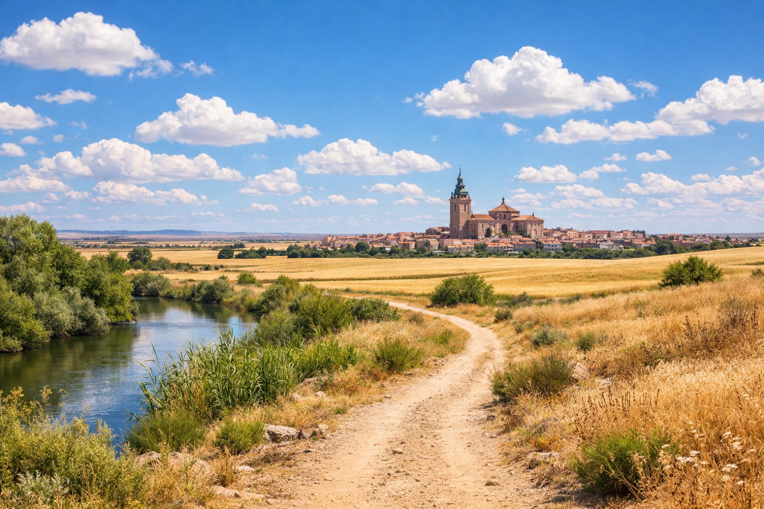 Stage 17
Toledo → Torrijos
challengingDistance30 kmAscent258 mDescent211 m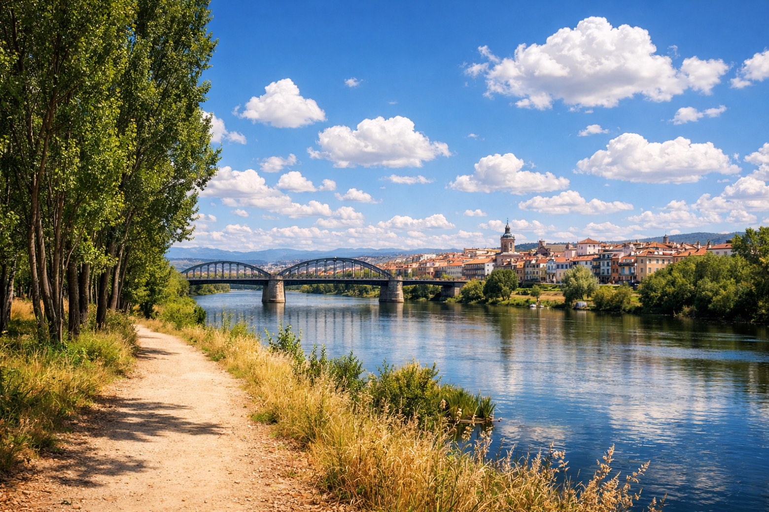 Stage 18
Torrijos → Talavera de la Reina
challengingDistance45 kmAscent141 mDescent182 m Stage 19
Talavera de la Reina → Oropesa
challengingDistance45 kmAscent0 mDescent8 m- Stage 20
Oropesa → San Martín de Valdeiglesias
challengingDistance33 kmAscent428 mDescent99 m - Stage 21Distance33 kmAscent730 mDescent330 m
- Stage 22
San Bartolomé de Pinares → Plasencia
challengingDistance33 kmAscent473 mDescent581 m  Stage 23
Plasencia → Carcaboso
moderateDistance20 kmAscent11 mDescent13 m
Points of interest
- Real monasterio de la Asunción
Real monasterio de la Asunción. 14th-century monastery in Valencian Gothic style, in Xàtiva, Spain, designated as bien de interés cultural.
- Roman city walls of Valencia
Roman city walls of Valencia. Archaeological site, in Ciutat Vella, Spain, designated as bien de interés cultural.
- Monasterio de San Juan de los Reyes
Monasterio de San Juan de los Reyes. Monastery in Gothic style, designed by Juan Guas, in Toledo, Spain, designated as bien de interés cultural.
- Castle of Almansa
Castle of Almansa. Castle, in Almansa, Spain, designated as bien de interés cultural.
- Castle of Chinchilla
Castle. Designated as bien de interés cultural. The Castle of Chinchilla (Spanish: Castillo de Chinchilla) is a castle located in Chinchilla de Monte-Aragón, Spain.
- iglesia del convento de las Agustinas
- Palace of Condes de Cirat
Palace. Designated as bien de interés cultural. The Palace of the Condes de Cirat (Spanish: Palacio de los Condes de Cirat) is a palace located in Almansa, Spain.
- Church of la Asunción
Church of la Asunción. Church, dedicated to Assumption of Mary, in Almansa, Spain, designated as bien de interés cultural.
Travel
Find connections for your cammino.
Search trainsMore walks in Spain
Plan your walking trip
How to choose a walking route: stages, days and ascent
Choose a walking route by comparing daily stages, available days, ascent and transport links. Practical planning with examples from the Appy catalogue.
How to plan a walking trip by train and bus
Plan travel to and from your walk: stage endpoints, stations, stops and the connection to the trail. A practical guide to routes and transport with Appy.
Take your walk with you: download Appy
Camino del Levante. Explore maps, stages and elevation in the app, and plan your train or bus journey.