Albacete → La Roda
Walking distance 40.4 km
Download Appy for the stage map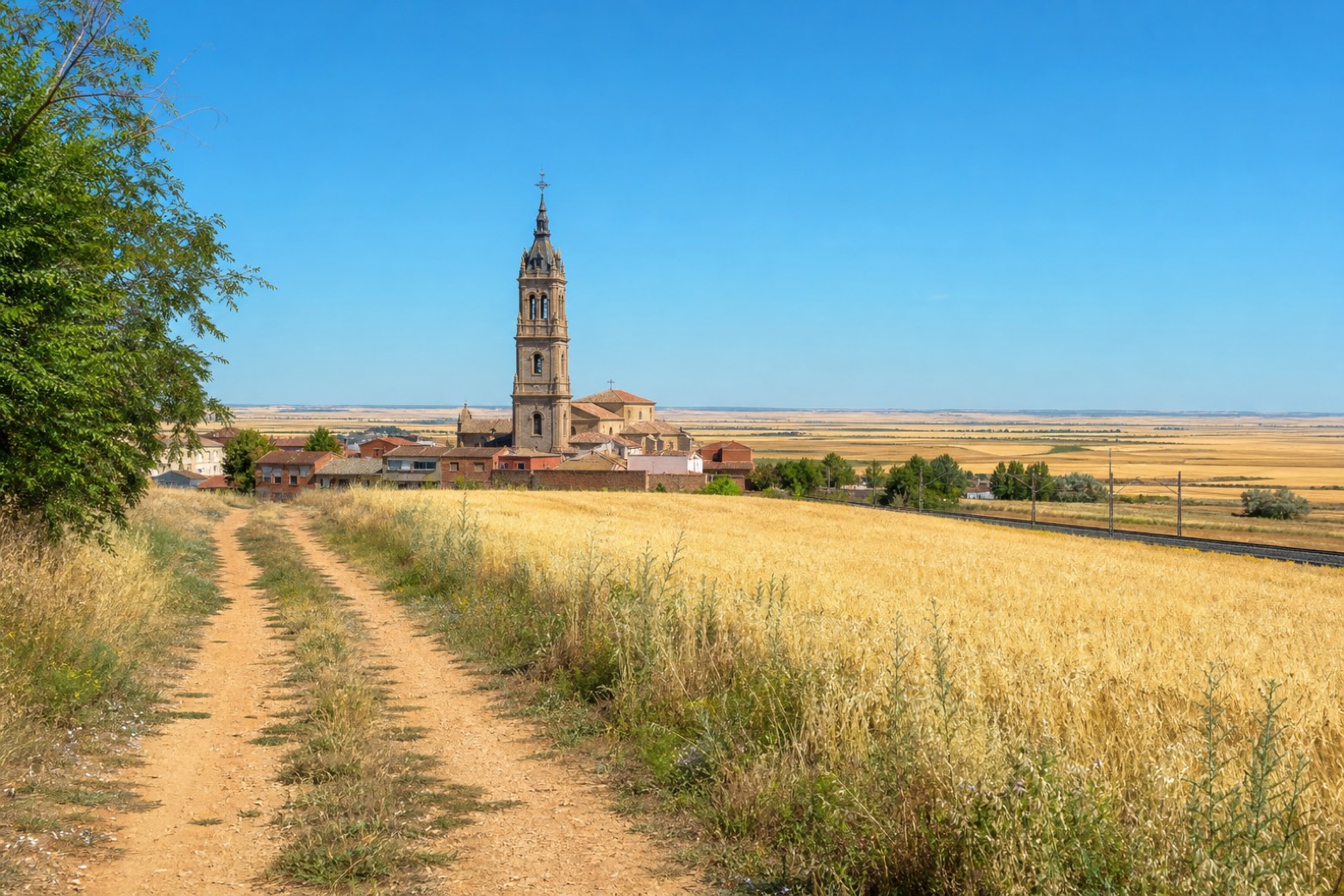
Stage information
- Ascent
- 12 m
- Descent
- 16 m
Difficulty: challenging
Walking the stage
From Albacete Cathedral the route crosses the old fairground and an industrial district before reaching open cereal country at Casas de Nava Blanca. It runs alongside the railway through the Garysol industrial estate to La Gineta, whose Gothic Iglesia de San Martín carries Renaissance additions, then crosses the Tajo-Segura canal. The stage ends at La Roda, known for the plateresque stonework of the Iglesia de San Salvador.
Before leaving Albacete, locate Museo Municipal de la Cuchillería de Albacete on the map. It is close to the starting point.
Look for these places on the stage map: Casa Grande, La Gineta, and Montalvos.
What to see on this stage
History and landmarks
Provincial Historical Archive of Albacete
< 100 m from the trail as the crow flies
20th-century monument, in Albacete, Spain, designated as bien de interés cultural.
Museo Municipal de la Cuchillería de Albacete
Museum · < 100 m from the trail as the crow flies
Municipal Knife Museum of Albacete. 21st-century museum, designed by Daniel Rubio Sánchez, in Albacete, Spain.
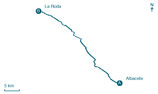
Map · Albacete → La Roda
Take your walk with you: download Appy
Camino del Levante: Albacete → La Roda. Explore maps, stages and elevation in the app, and plan your train or bus journey.

