Torrijos → Escalona
Walking distance 25.1 km
Download Appy for the stage map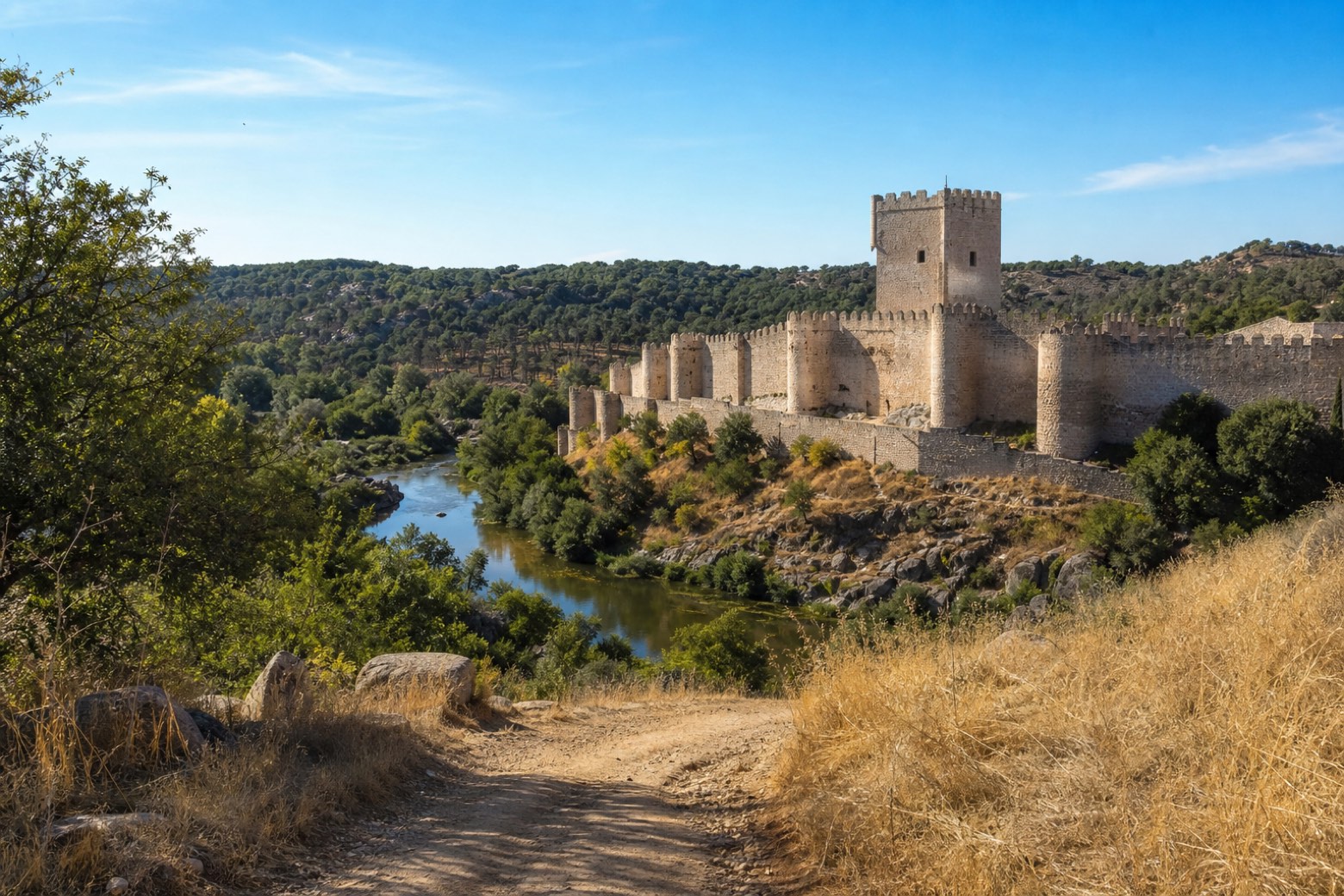
Stage information
- Ascent
- 128 m
- Descent
- 193 m
Difficulty: moderate
Walking the stage
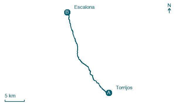
From Torrijos the walk follows the N-403 toward Val de Santo Domingo, where the Church of Santo Domingo de Silos and the thirteenth century Santa Ana hermitage stand. It continues to Maqueda, a former Roman and Arab stronghold with a late fifteenth century castle and the church of Santa María de los Alcázares. The stage ends at Escalona, on the Alberche river, below the castle built by the Constable Álvaro de Luna and beside the church of San Miguel Arcángel.
Before leaving Torrijos, locate Capilla del Santísimo Cristo de la Sangre y del Hospital de la Santísima Trinidad on the map. It is close to the starting point.
Look for these places on the stage map: Val de Santo Domingo, Maqueda, and Primie/Los Cuervos.
What to see on this stage
History and landmarks
Capilla del Santísimo Cristo de la Sangre y del Hospital de la Santísima Trinidad
< 100 m from the trail as the crow flies
Monument, in Torrijos, Spain, designated as bien de interés cultural.
Palace of Altamira
Palace · 200 m from the trail as the crow flies
Palace in Renaissance style, in Torrijos, Spain.
Map · Torrijos → Escalona
Take your walk with you: download Appy
Camino del Levante: Torrijos → Escalona. Explore maps, stages and elevation in the app, and plan your train or bus journey.

