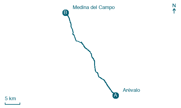
Arévalo → Medina del Campo
Walking distance 34.2 km
Download Appy for the stage map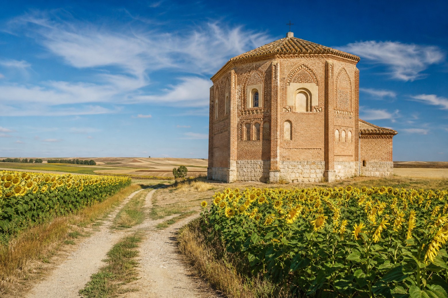
Stage information
- Ascent
- 14 m
- Descent
- 85 m
Difficulty: challenging
Walking the stage
Leaving Arévalo the route crosses farmland to Palacios de Goda, where the church of San Juan Bautista has a pentagonal Mudéjar ceiling, then Ataquines and San Vicente del Palacio, with its eighteenth century Baroque church of Nuestra Señora de la Asunción. It crosses the Zapardiel river through sunflower fields and woodland near the end. The stage ends at Medina del Campo, at the Collegiate Church of San Antolín, in a town that was Spain's great market center under the Catholic Monarchs.
Before leaving Arévalo, locate Puente de los Barros, Arévalo on the map. It is close to the starting point. On arrival in Medina del Campo, consider a stop at Palacio Testamentario, close to the finish.
Look for these places on the stage map: Tornadizos de Arévalo, Palacios de Goda, Ataquines, and San Vicente del Palacio.
What to see on this stage
History and landmarks
Puente de los Barros, Arévalo
Bridge · < 100 m from the trail as the crow flies
12th-century bridge in Mudéjar style, in Arévalo, Spain.
Palacio Testamentario
Palace · < 100 m from the trail as the crow flies
Palace in Renaissance style, in Medina del Campo, Spain, designated as bien de interés cultural.
Map · Arévalo → Medina del Campo
Take your walk with you: download Appy
Camino del Levante: Arévalo → Medina del Campo. Explore maps, stages and elevation in the app, and plan your train or bus journey.

