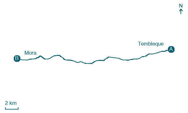
Tembleque → Mora
Walking distance 24.7 km
Download Appy for the stage map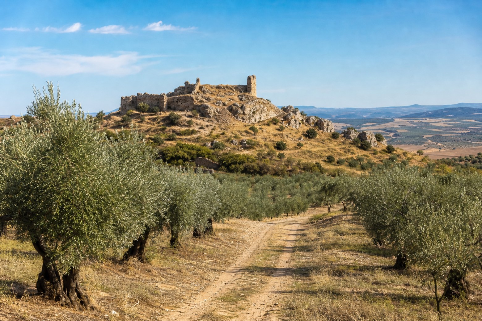
Stage information
- Ascent
- 206 m
- Descent
- 129 m
Difficulty: moderate
Walking the stage
Leaving Tembleque past streets named Hospital and Pozo Bueno, the walk crosses the Algodor river on an old bridge and follows the Camino de los Olivos through wide olive groves. It passes below the ruins of Castillo de Peñas Negras, a tenth century fortress once part of the dowry of princess Zaida, wife of Alfonso VI. The stage ends at Mora, at the Gothic parish church of Nuestra Señora de la Altagracia, a town that once ran two hospitals for travelers.
Before leaving Tembleque, locate Casa de las Torres, Tembleque on the map. It is close to the starting point. On arrival in Mora, consider a stop at Casa de los Sueltos, close to the finish.
What to see on this stage
History and landmarks
Casa de los Sueltos
200 m from the trail as the crow flies
House of the Sueltos. Monument, in Mora, Spain, designated as bien de interés cultural.
Casa de las Torres, Tembleque
400 m from the trail as the crow flies
Monument, in Tembleque, Spain, designated as bien de interés cultural.
Nature and landscape
Cerro de la Antigua
Summit · 1.4 km from the trail as the crow flies
Cabeza Pendón
Summit · 1.6 km from the trail as the crow flies
Map · Tembleque → Mora
Take your walk with you: download Appy
Camino del Levante: Tembleque → Mora. Explore maps, stages and elevation in the app, and plan your train or bus journey.

