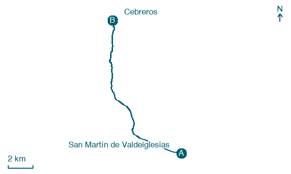
San Martín de Valdeiglesias → Cebreros
Walking distance 14.1 km
Download Appy for the stage map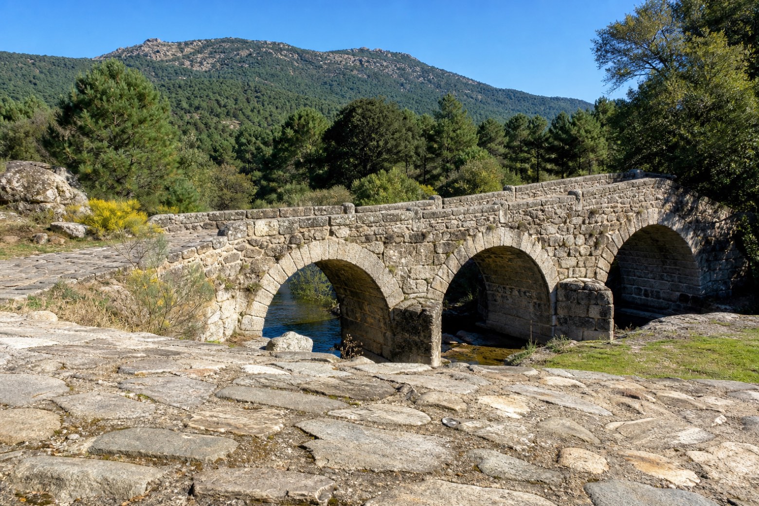
Stage information
- Ascent
- 180 m
- Descent
- 117 m
Difficulty: easy
Walking the stage
Leaving San Martín de Valdeiglesias past the fifteenth century Castillo de la Coracera and the unfinished church of San Martín de Tours, the route follows the old Cañada Real Leonesa cattle trail. It crosses the Yusta and Valsordo rivers on old bridges, the Valsordo on a three arched structure with its original paving, near the Ermita de la Virgen de Valsordo. The stage ends at Cebreros, entering Ávila province, at the church of Santiago built by the mason Pedro de Tolosa.
Before leaving San Martín de Valdeiglesias, locate Castle of San Martín de Valdeiglesias on the map. It is close to the starting point. On arrival in Cebreros, consider a stop at Museo Adolfo Suárez y la Transición, close to the finish.
Look for these places on the stage map: La Atalaya and Puente Nuevo.
What to see on this stage
History and landmarks
Castle of San Martín de Valdeiglesias
Castle · 200 m from the trail as the crow flies
Castle, in San Martín de Valdeiglesias, Spain, designated as bien de interés cultural.
Museo Adolfo Suárez y la Transición
Museum · 300 m from the trail as the crow flies
Adolfo Suárez and the Transition Museum. Museum, dedicated to Spanish transition to democracy, in Cebreros, Spain.
Nature and landscape
Cerro del Castrejón
Summit · 1.9 km from the trail as the crow flies
Map · San Martín de Valdeiglesias → Cebreros
Take your walk with you: download Appy
Camino del Levante: San Martín de Valdeiglesias → Cebreros. Explore maps, stages and elevation in the app, and plan your train or bus journey.

