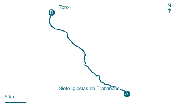
Siete Iglesias de Trabancos → Toro
Walking distance 30.4 km
Download Appy for the stage map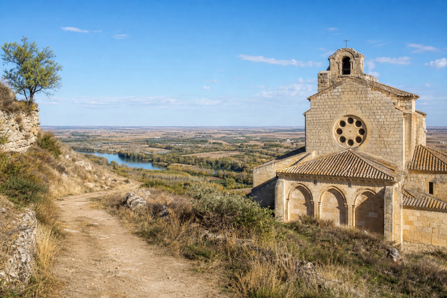
Stage information
- Ascent
- 245 m
- Descent
- 215 m
Difficulty: challenging
Walking the stage
The route crosses the Arroyo del Reguerón and the Arroyo de la Pitanza to Castronuño, overlooking the Duero valley, where the Romanesque Church of Cristo holds a fourteenth century Gothic Christ figure behind a seven-oculus rose window. It continues to Villafranca del Duero, on the river's left bank, at the church of Santa María Magdalena. The stage ends at Toro, at the Colegiata de Santa María la Mayor, crossing the Duero on an old Romanesque bridge into the town.
On arrival in Toro, consider a stop at Church of San Salvador de los Caballeros, Toro, close to the finish.
Look for these places on the stage map: Castronuño, Villafranca de Duero, Villaguer, and Urbanización El Gejo.
What to see on this stage
History and landmarks
Puente Mayor de Toro
Bridge · < 100 m from the trail as the crow flies
Bridge, in Toro, Spain, designated as Red List of Endangered Heritage item, built in stone.
Church of San Salvador de los Caballeros, Toro
200 m from the trail as the crow flies
Monument, in Toro, Spain, designated as bien de interés cultural, built in brick.
Map · Siete Iglesias de Trabancos → Toro
Take your walk with you: download Appy
Camino del Levante: Siete Iglesias de Trabancos → Toro. Explore maps, stages and elevation in the app, and plan your train or bus journey.

