Toledo → Torrijos
Walking distance 34.9 km
Download Appy for the stage map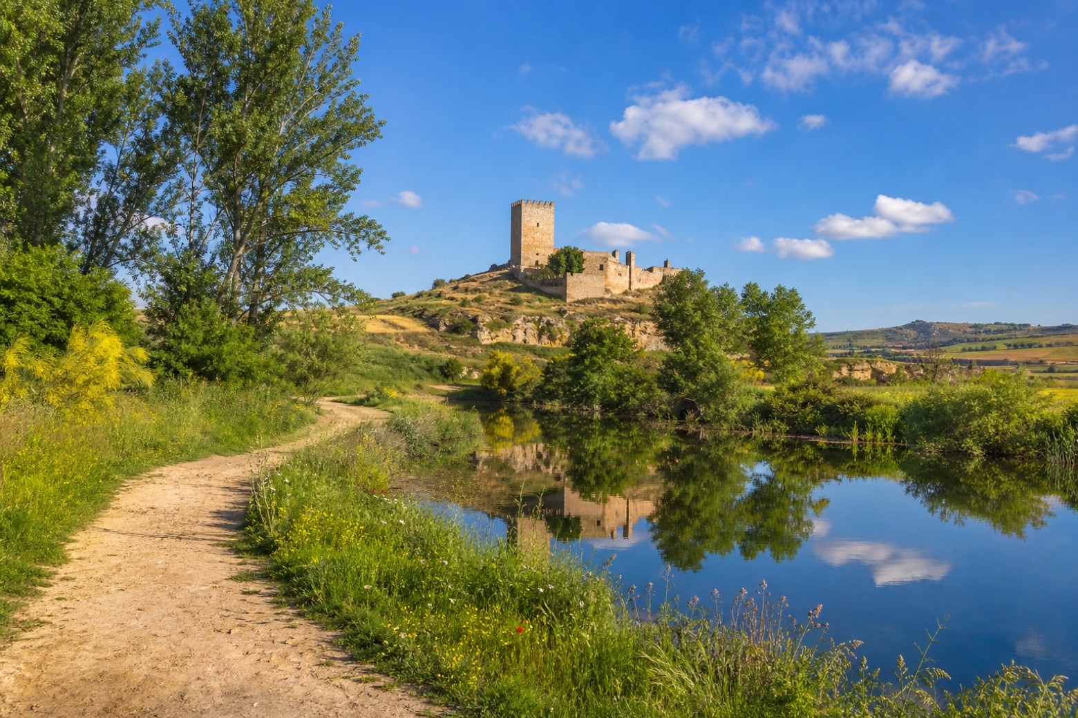
Stage information
- Ascent
- 152 m
- Descent
- 172 m
Difficulty: challenging
Walking the stage
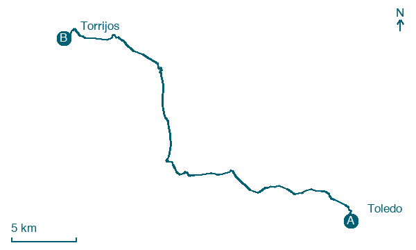
Leaving Toledo by the Bisagra gate, the path follows the Guadarrama river past Cerro Matanzas and the Cambrillos hermitage to Rielves, where Roman thermal bath remains lie near the church of Santiago Apóstol. It continues to Barcience, below its fifteenth century castle and the Mudéjar doorway of the Iglesia de Santa María La Blanca. The stage ends at Torrijos, at the sixteenth century collegiate church in Gothic and Renaissance style.
Before leaving Toledo, locate Cristo de la Luz on the map. It is close to the starting point.
Look for these places on the stage map: Rielves and Barcience.
What to see on this stage
History and landmarks
Cristo de la Luz
< 100 m from the trail as the crow flies
Monument in art of the Umayyads of Cordoba style, in Toledo, Spain, designated as cultural heritage, built in brick.
Puerta Bab al-Mardum
< 100 m from the trail as the crow flies
Historic gate. Designated as bien de interés cultural.
Map · Toledo → Torrijos
Take your walk with you: download Appy
Camino del Levante: Toledo → Torrijos. Explore maps, stages and elevation in the app, and plan your train or bus journey.

