Camino del Norte
Asturias, Spain
Spain · Irún → Santiago de Compostela
Distance
859 km
Stages
34
Difficulty
moderate
Best months
Apr-Jun, Sep-Oct
About
Two thousand sixty-eight kilometers of grit and glory. The Camino del Norte winds from Irun to O Pino, slicing through 34 stages of coastal paths and verdant forests.
With an elevation gain of 37,154 meters, it’s more than a trail; it’s a test of resolve. Key waypoints, Belaskoenea, Otañes, La Franca, echo with centuries of footsteps.
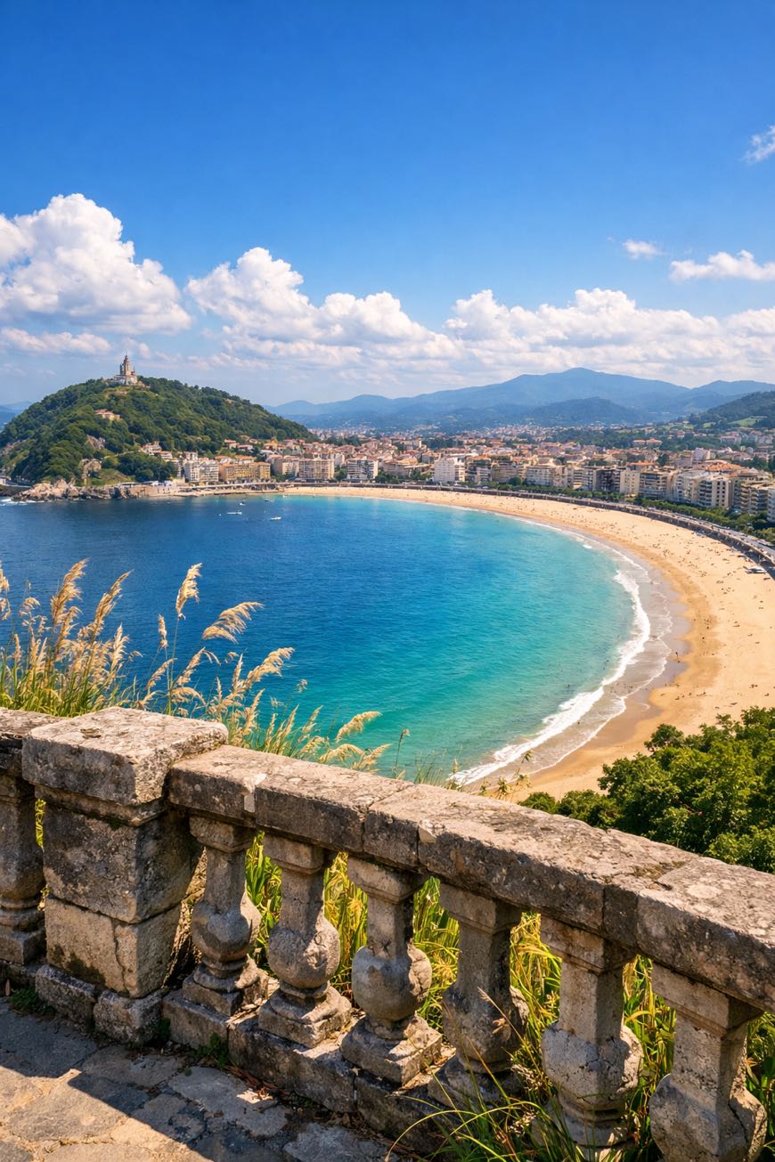
Savor the salty air of the Basque coast, the warmth of local cuisine, and the camaraderie of fellow travelers. Year-round access means each season reveals a new facet of this storied route, each step a journey unto itself.
Stages
34 stages
 Stage 1
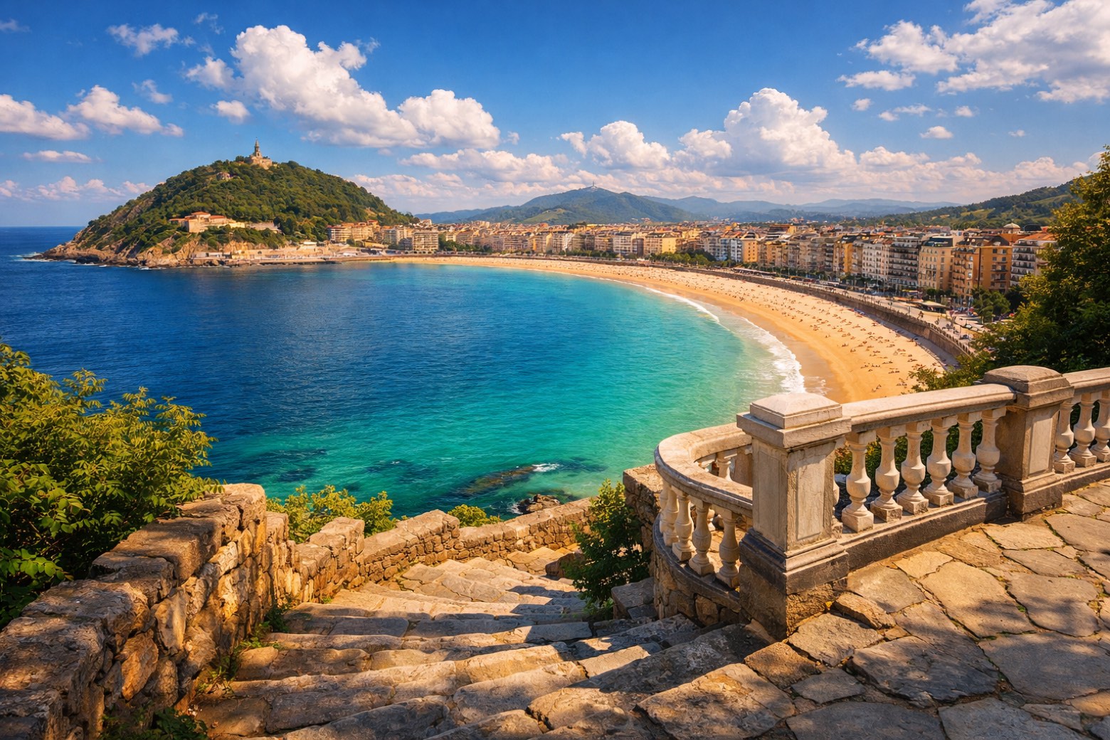
Irún → San Sebastián
challengingDistance26 kmAscent592 mDescent606 m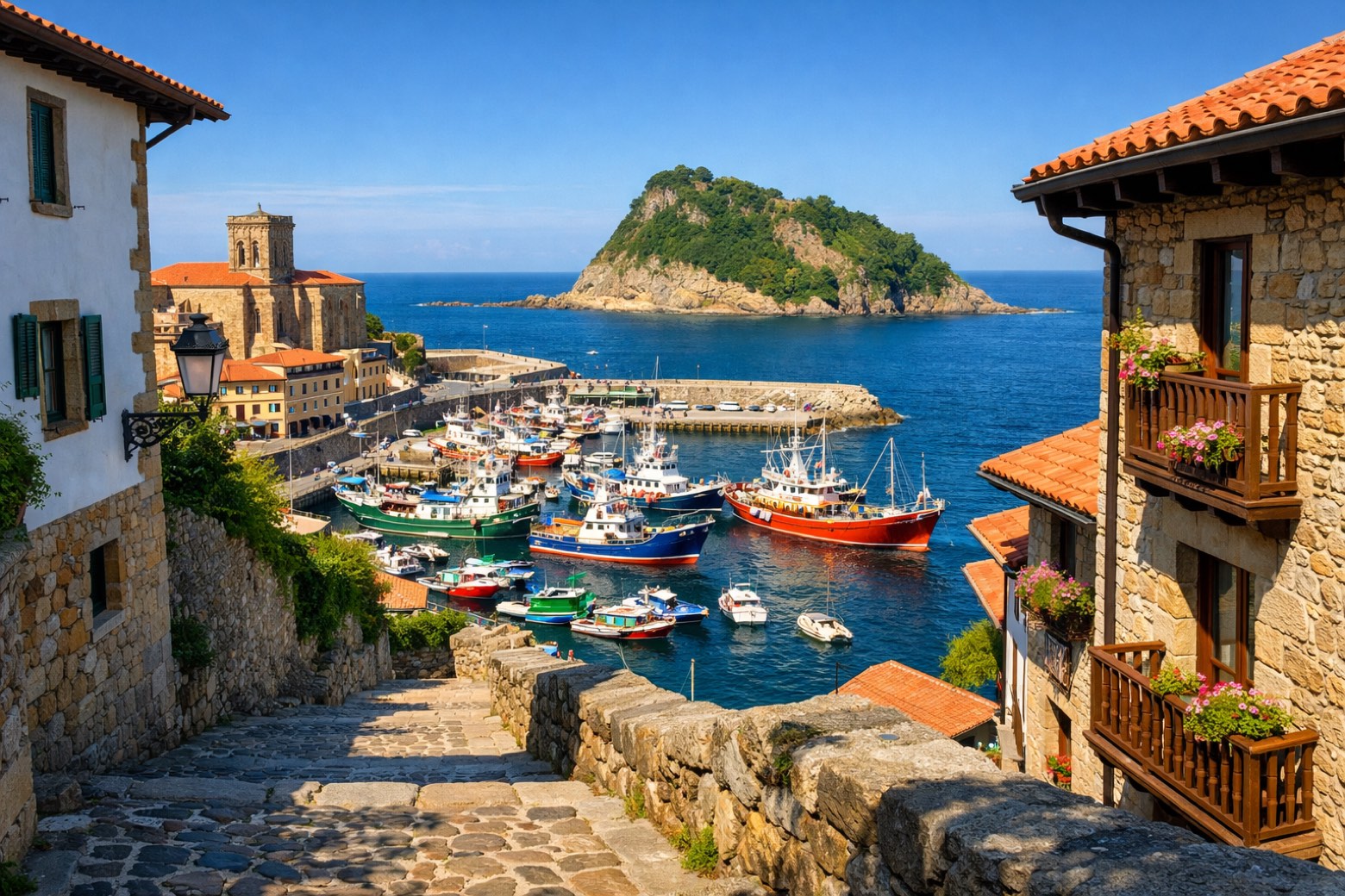 Stage 2
San Sebastián → Zarautz
moderateDistance23 kmAscent478 mDescent482 m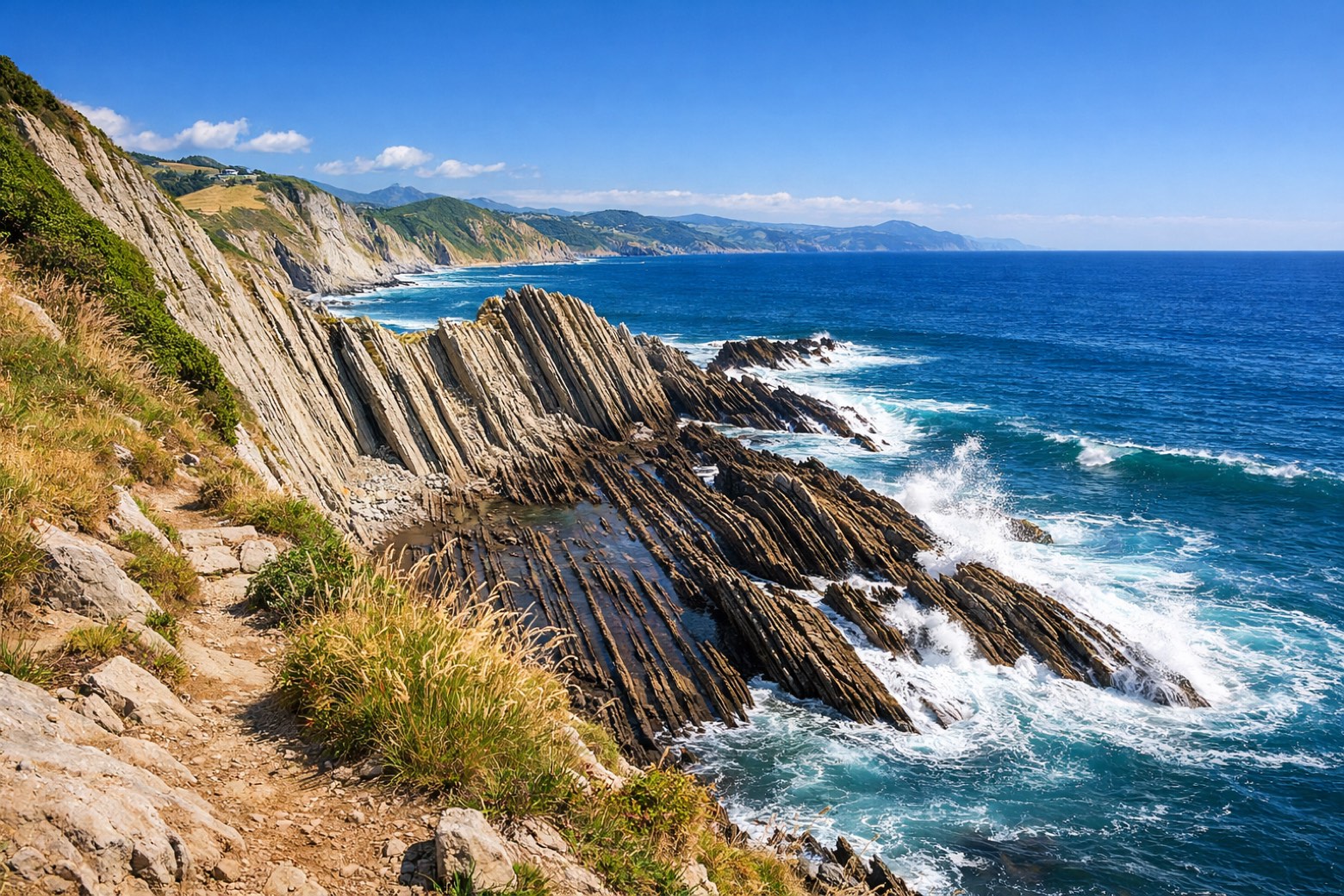 Stage 3
Zarautz → Deba
moderateDistance22 kmAscent595 mDescent587 m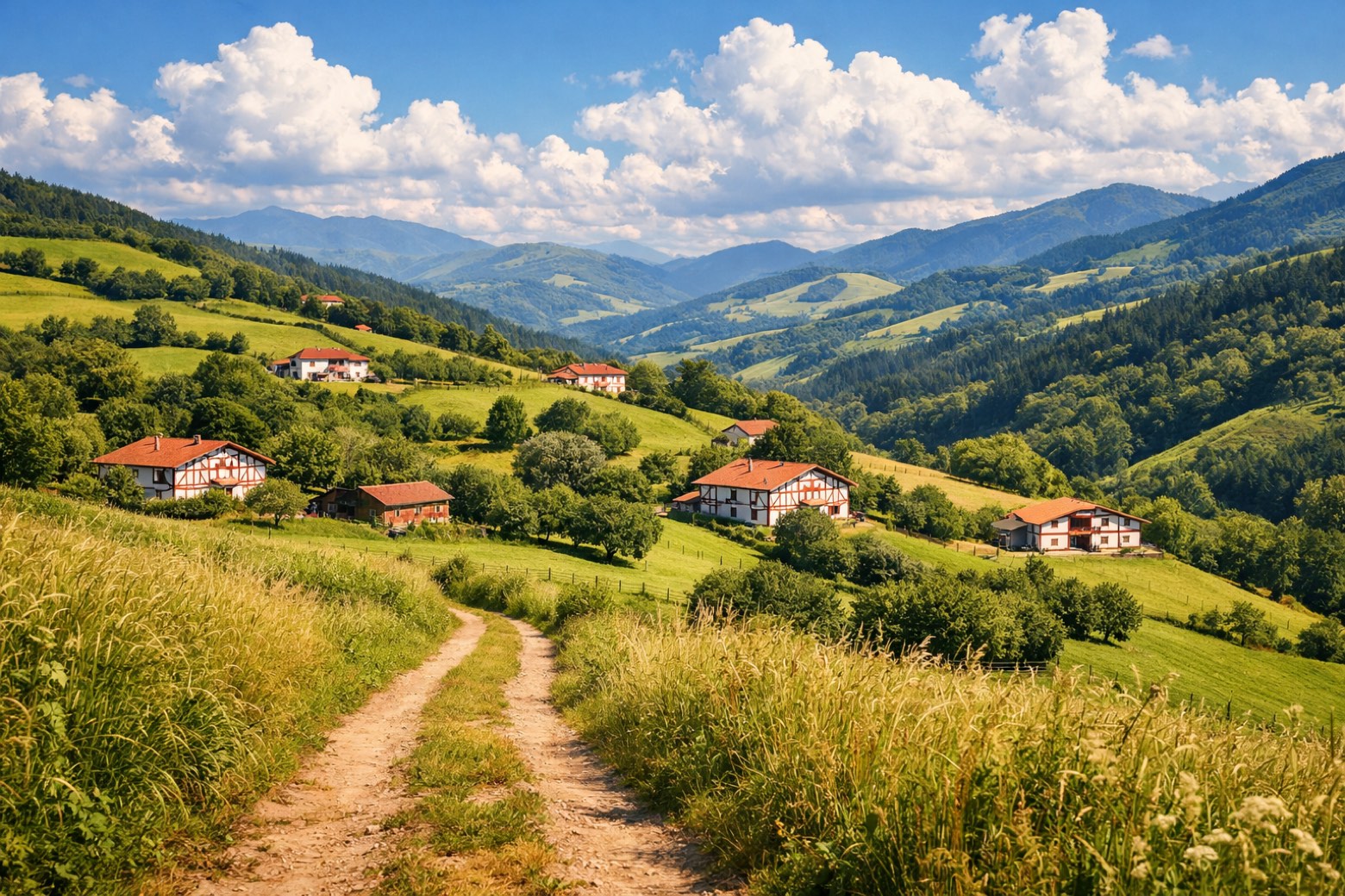 Stage 4
Deba → Markina-Xemein
moderateDistance25 kmAscent796 mDescent723 m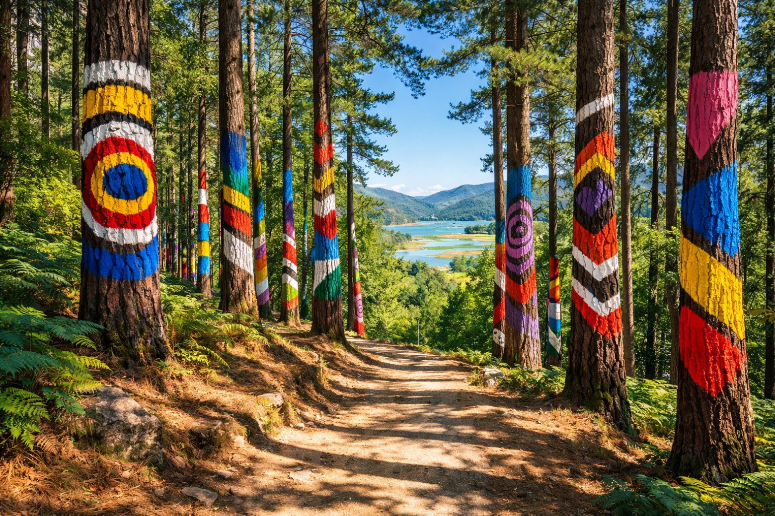 Stage 5
Markina-Xemein → Gernika-Lumo
moderateDistance24 kmAscent426 mDescent498 m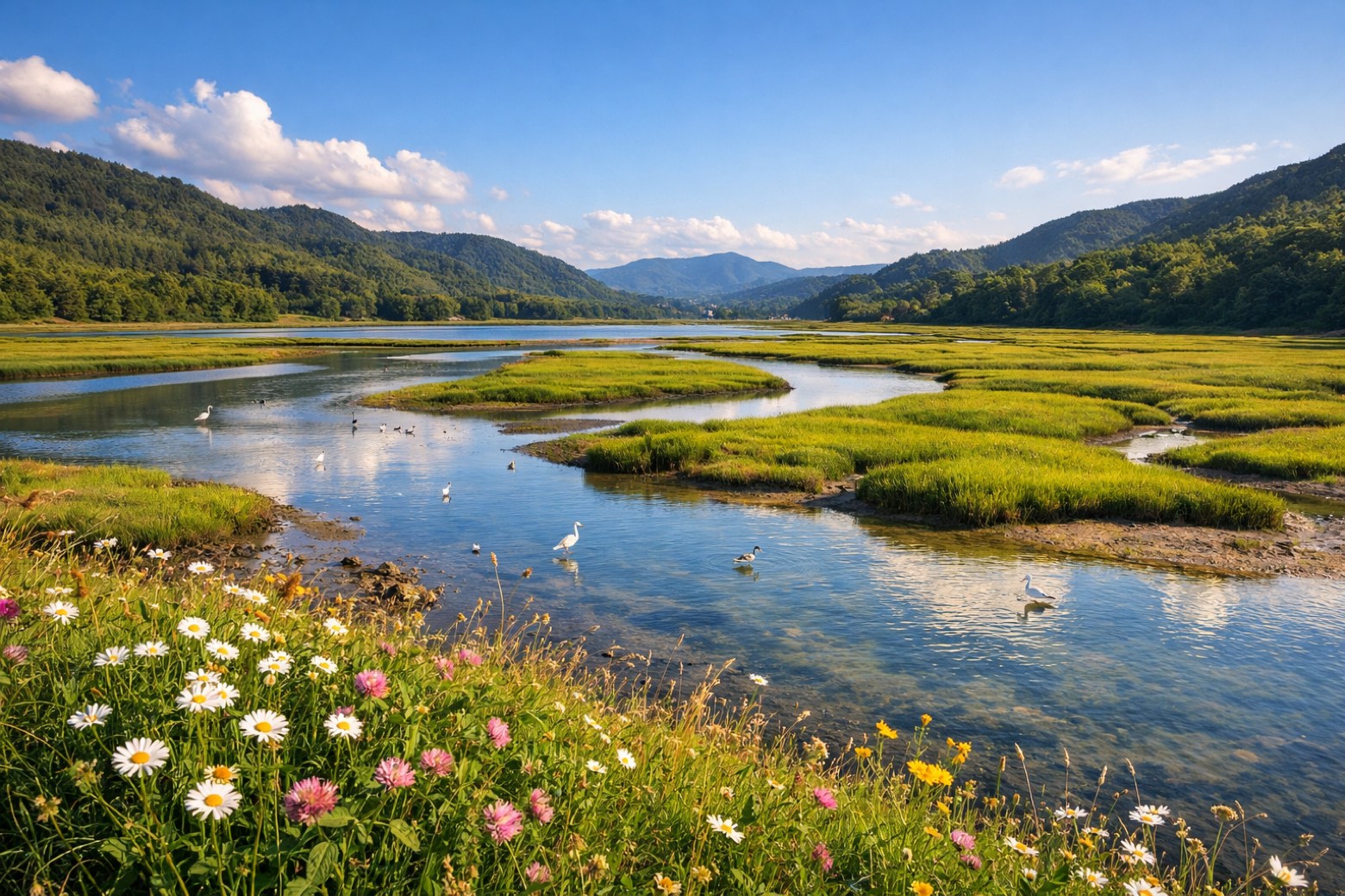 Stage 6
Gernika-Lumo → Lezama
moderateDistance21 kmAscent502 mDescent454 m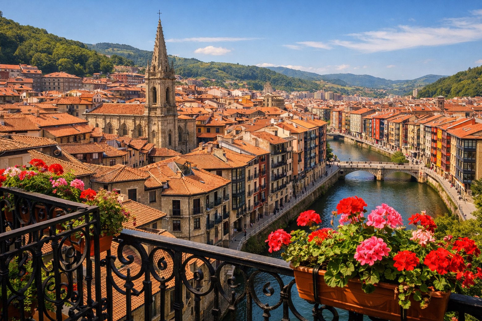 Stage 7
Lezama → Bilbao
easyDistance13 kmAscent351 mDescent376 m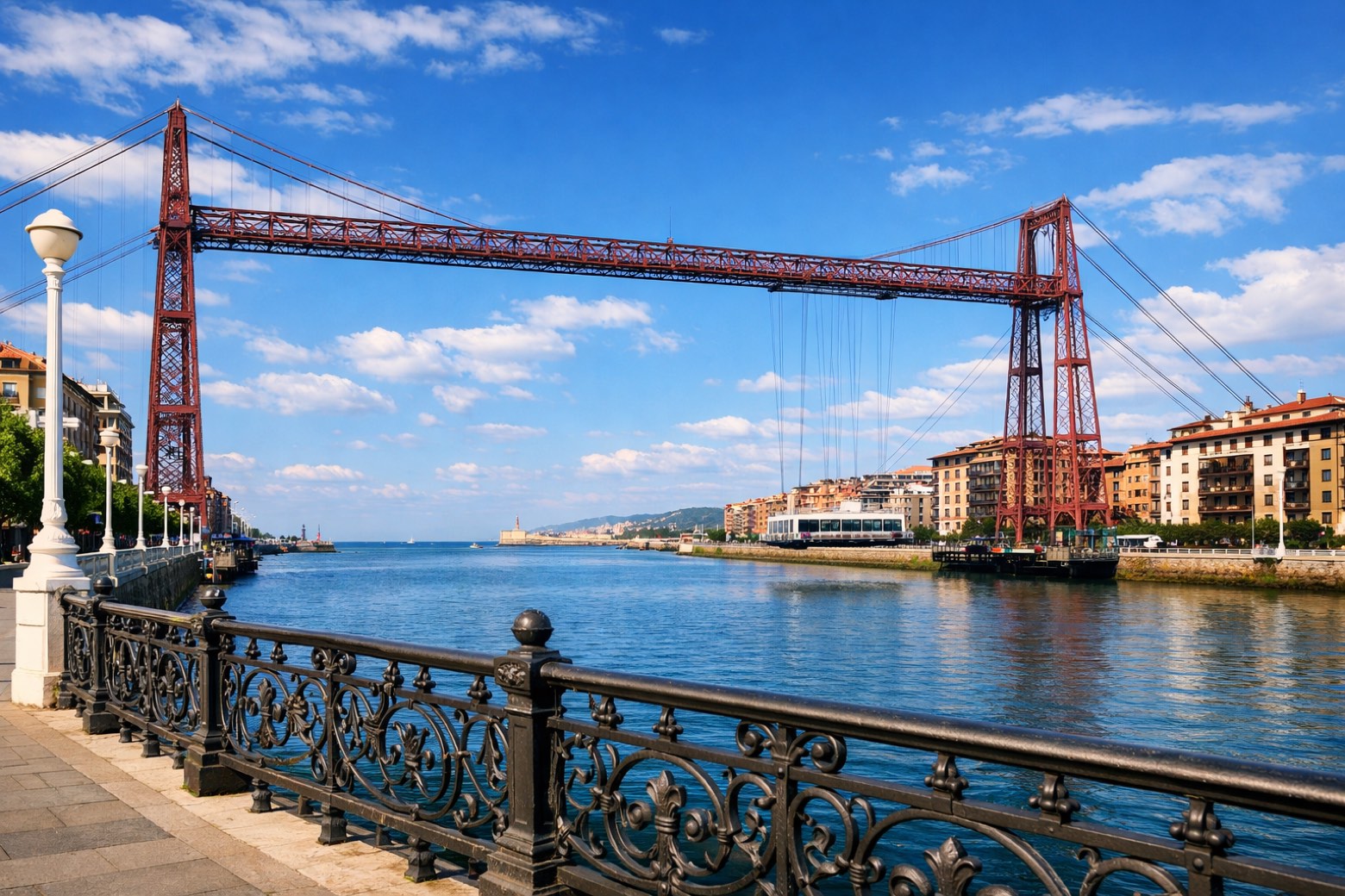 Stage 8
Bilbao → Portugalete
moderateDistance18 kmAscent424 mDescent413 m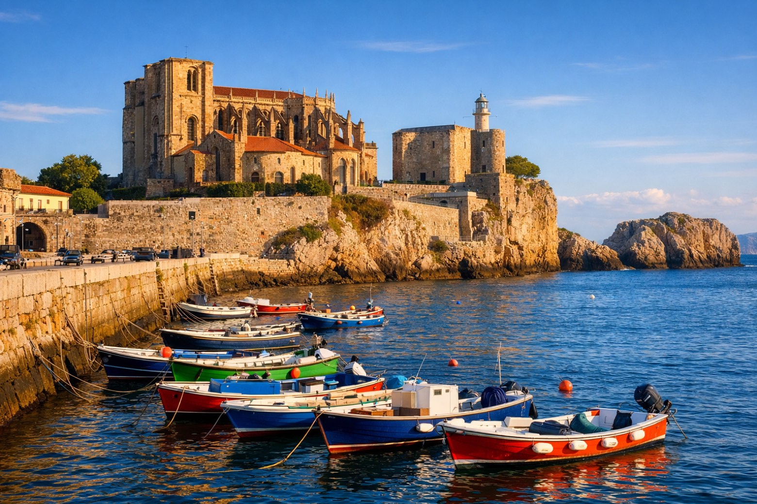 Stage 9
Portugalete → Castro Urdiales
challengingDistance27 kmAscent356 mDescent397 m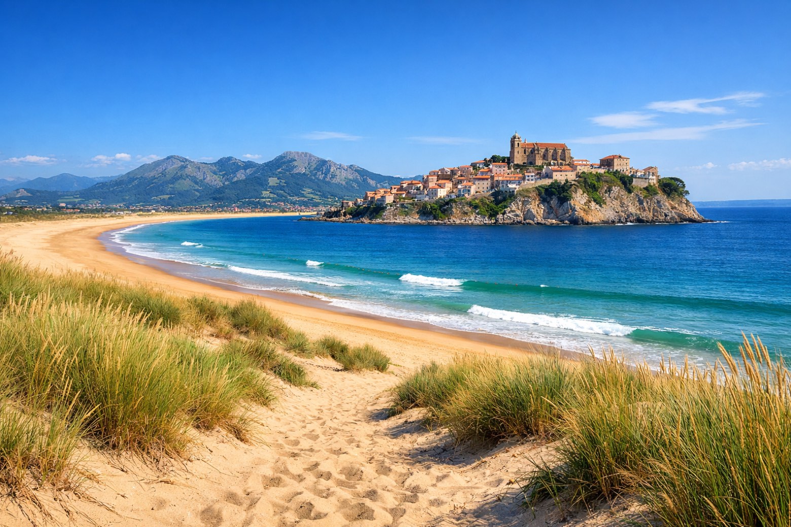 Stage 10
Castro Urdiales → Laredo
challengingDistance32 kmAscent541 mDescent543 m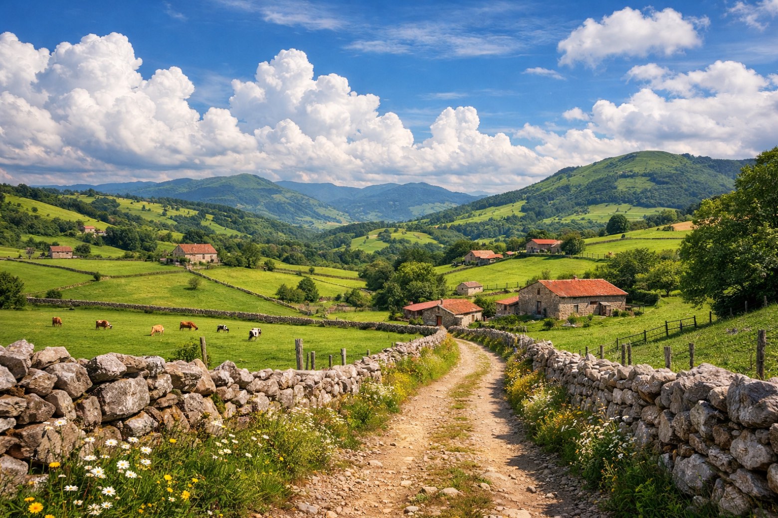 Stage 11
Laredo → Güemes
challengingDistance28 kmAscent301 mDescent245 m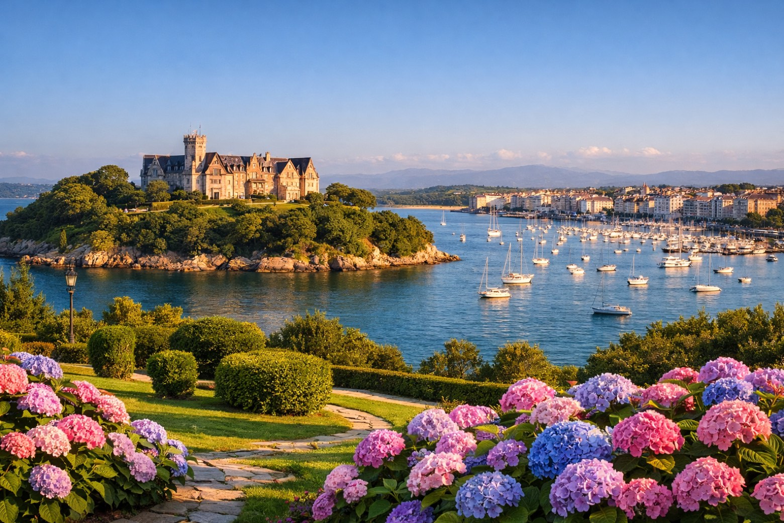 Stage 12
Güemes → Santander
moderateDistance19 kmAscent157 mDescent199 m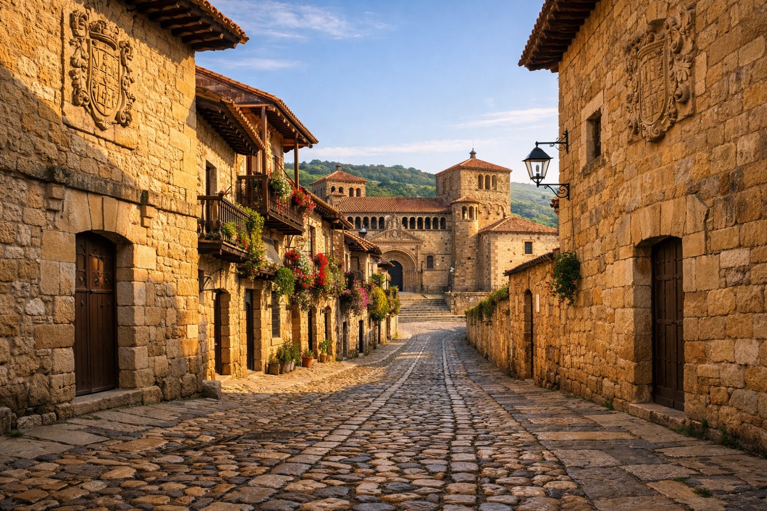 Stage 13
Santander → Santillana del Mar
challengingDistance44 kmAscent421 mDescent349 m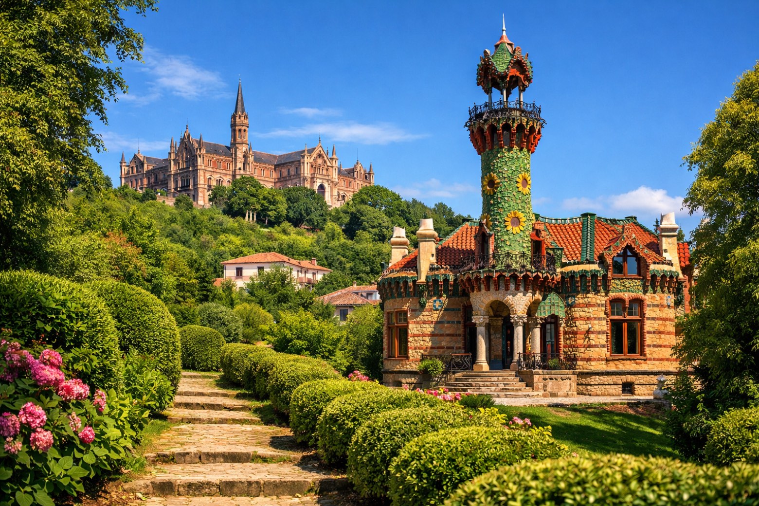 Stage 14
Santillana del Mar → Comillas
moderateDistance23 kmAscent404 mDescent467 m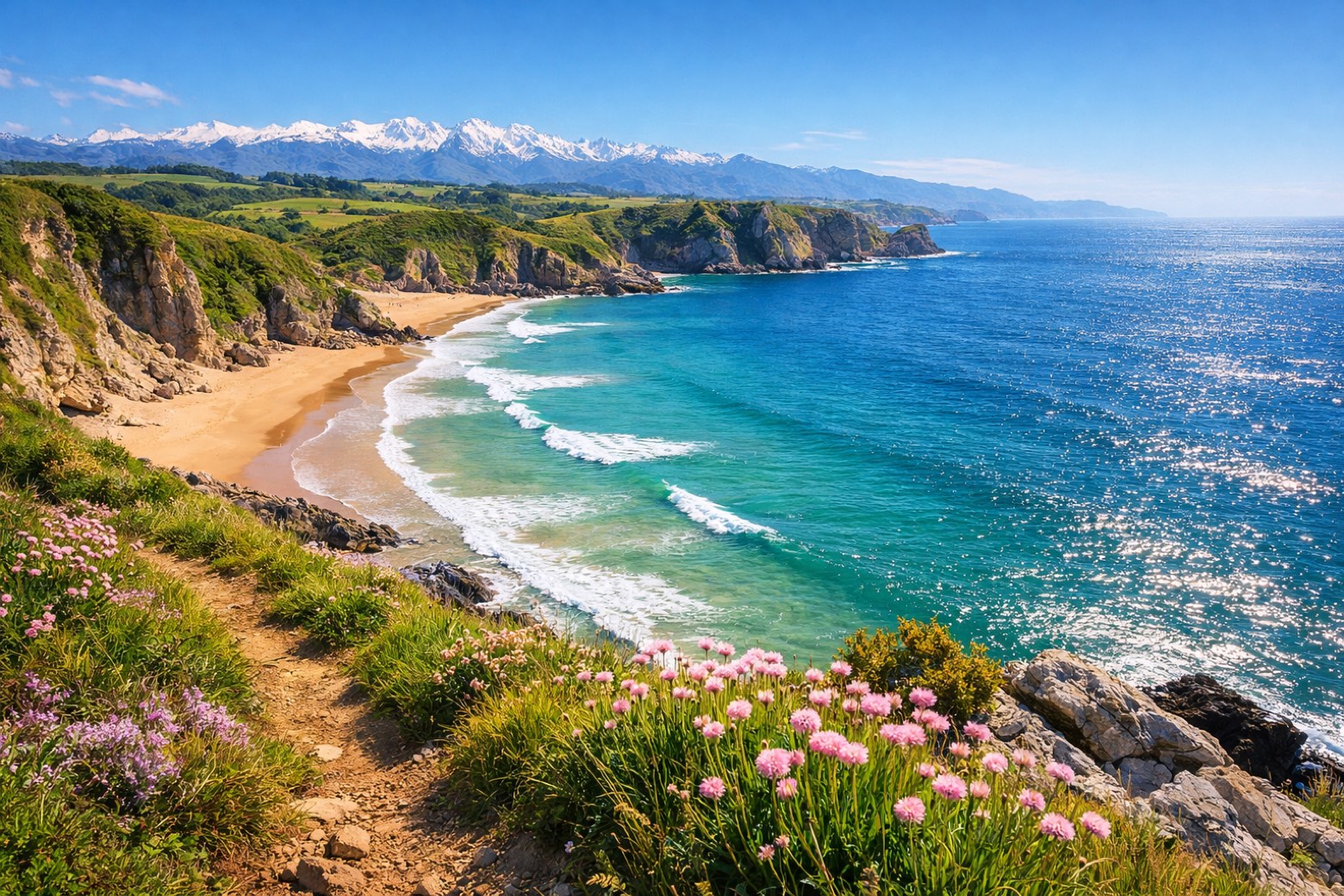 Stage 15
Comillas → Colombres
challengingDistance31 kmAscent534 mDescent495 m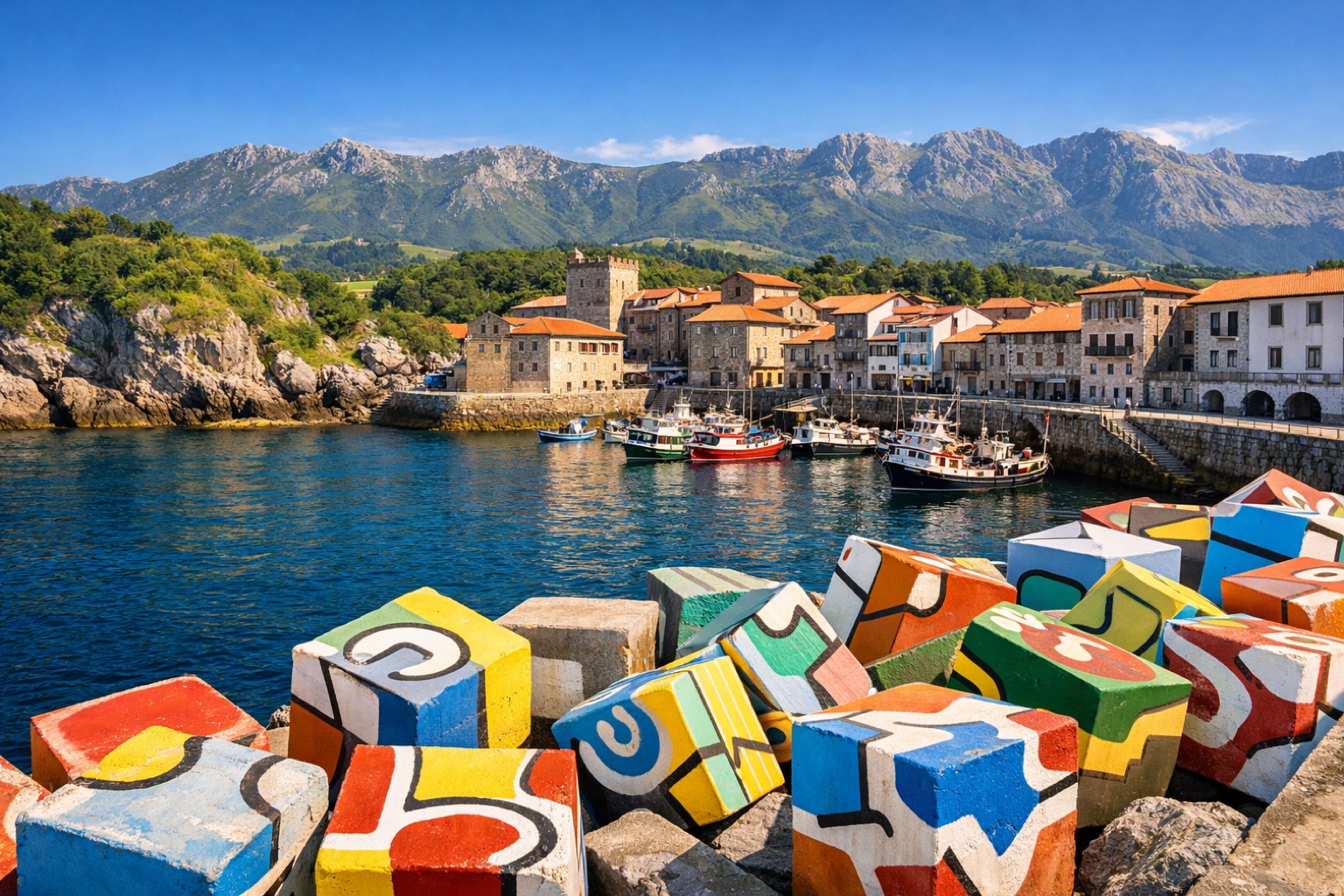 Stage 16
Colombres → Llanes
moderateDistance21 kmAscent244 mDescent295 m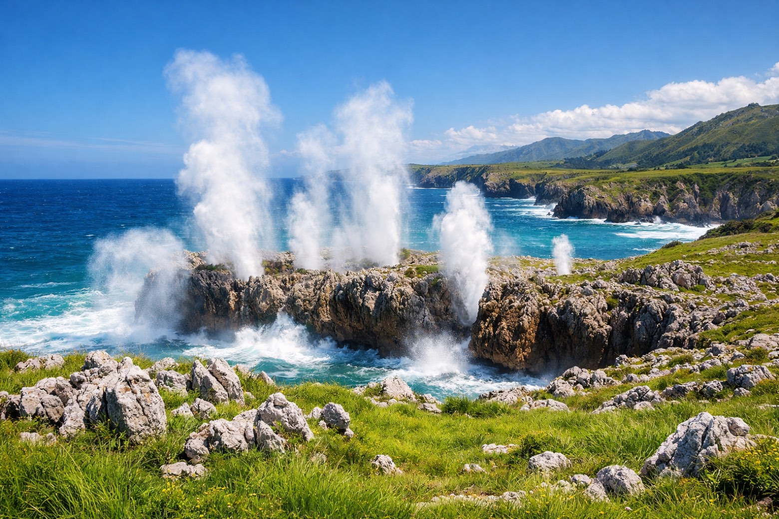 Stage 17
Llanes → Ribadesella
challengingDistance33 kmAscent292 mDescent294 m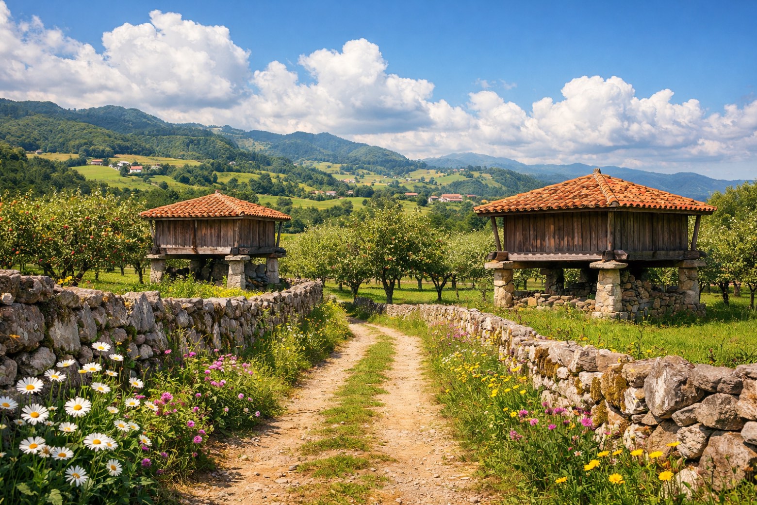 Stage 18
Ribadesella → Sebrayo
challengingDistance31 kmAscent480 mDescent485 m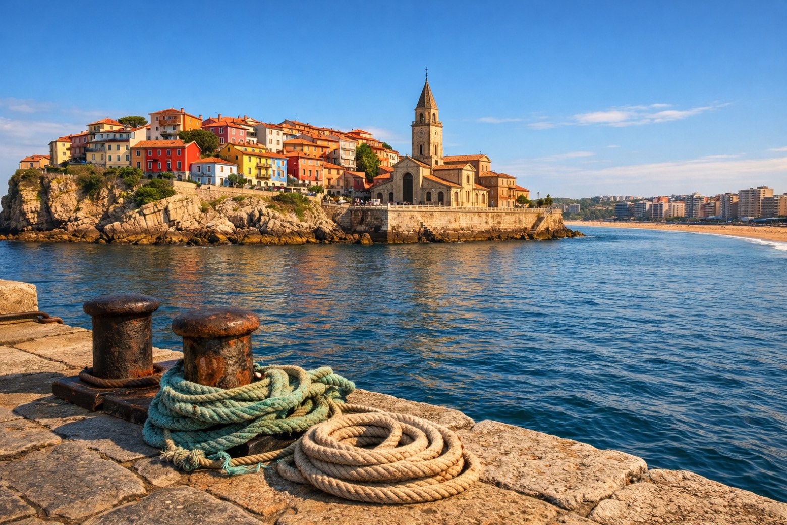 Stage 19
Sebrayo → Gijón
challengingDistance31 kmAscent521 mDescent314 m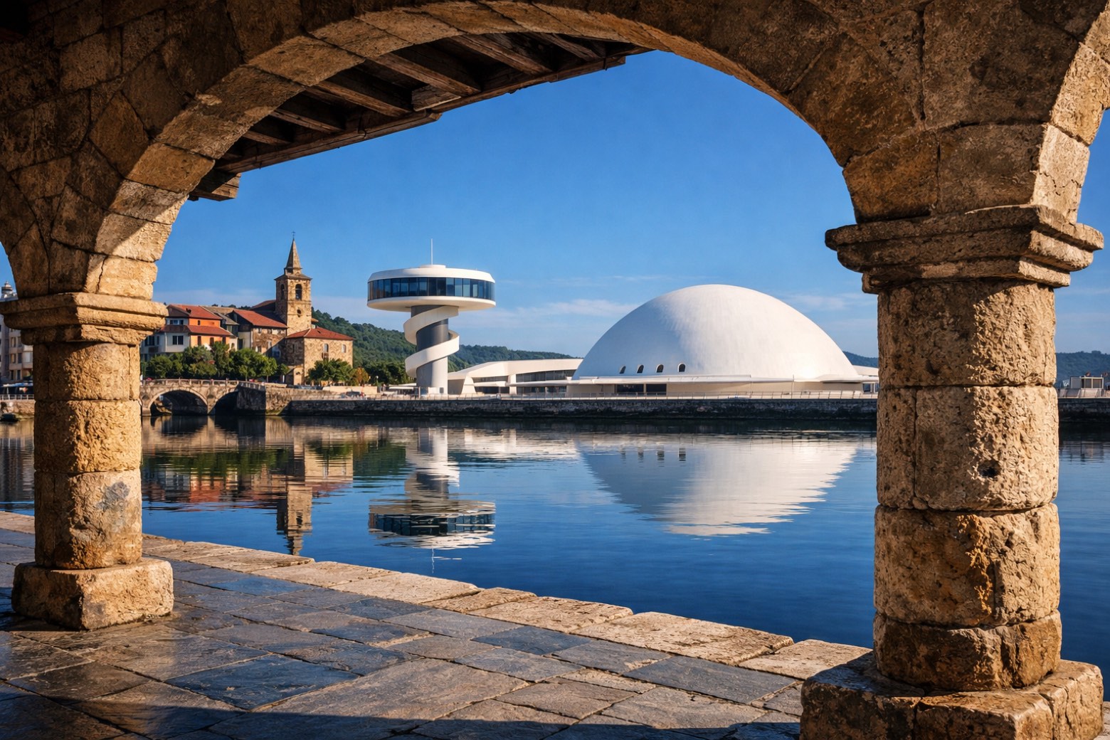 Stage 20
Gijón → Avilés
challengingDistance47 kmAscent355 mDescent553 m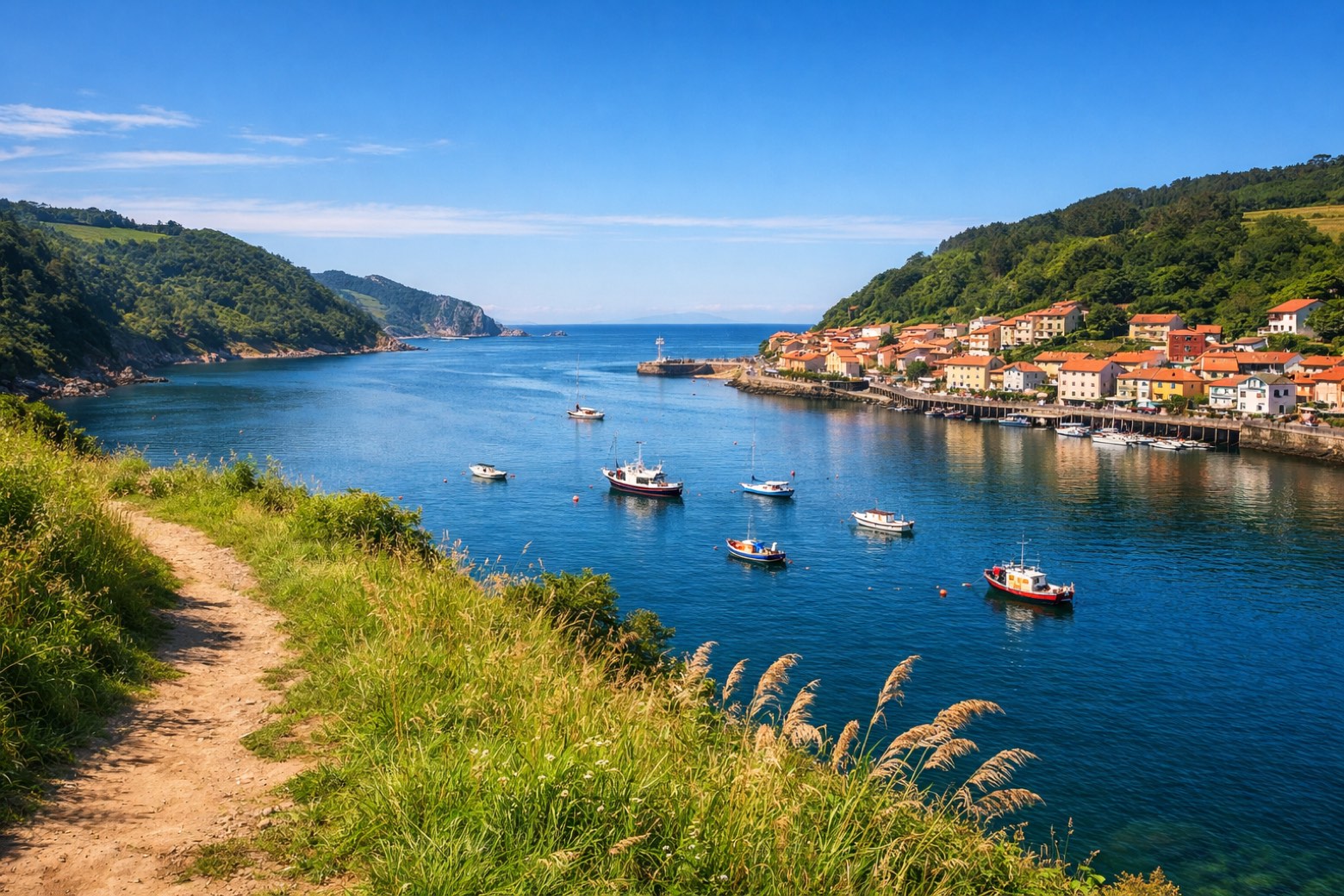 Stage 21
Avilés → Muros de Nalón
moderateDistance23 kmAscent510 mDescent396 m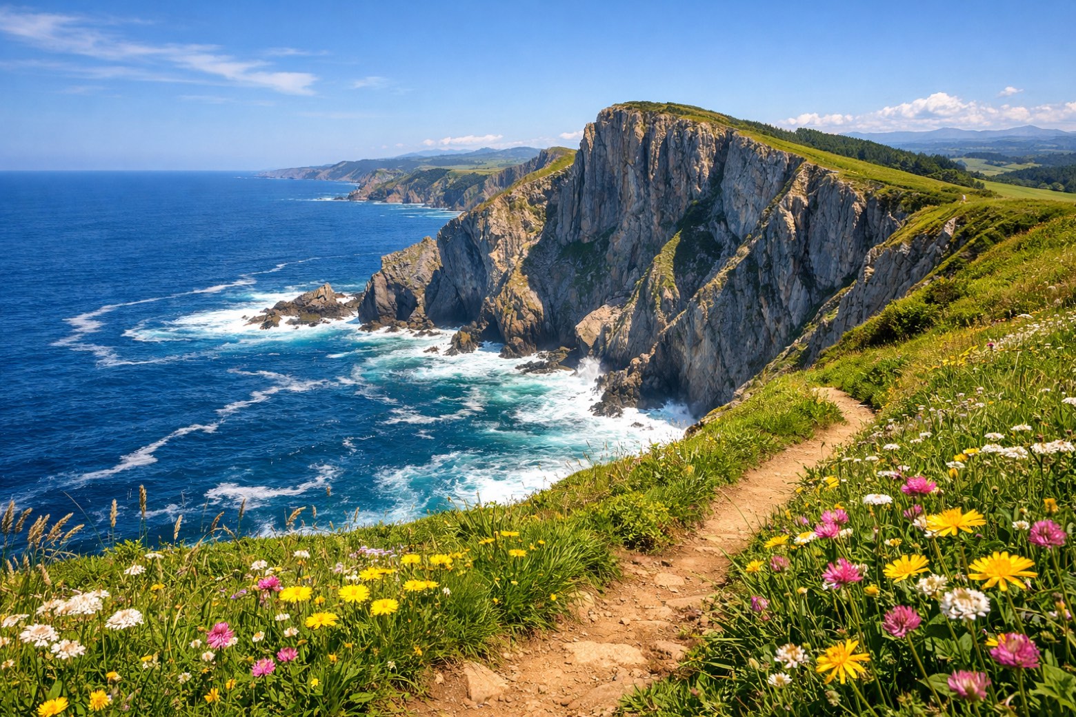 Stage 22Distance14 kmAscent370 mDescent478 m
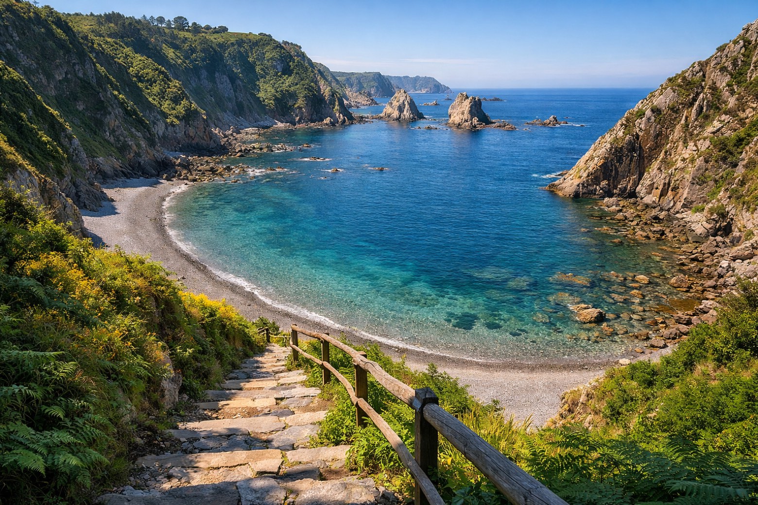 Stage 23
Soto de Luiña → Cadavedo
moderateDistance23 kmAscent401 mDescent338 m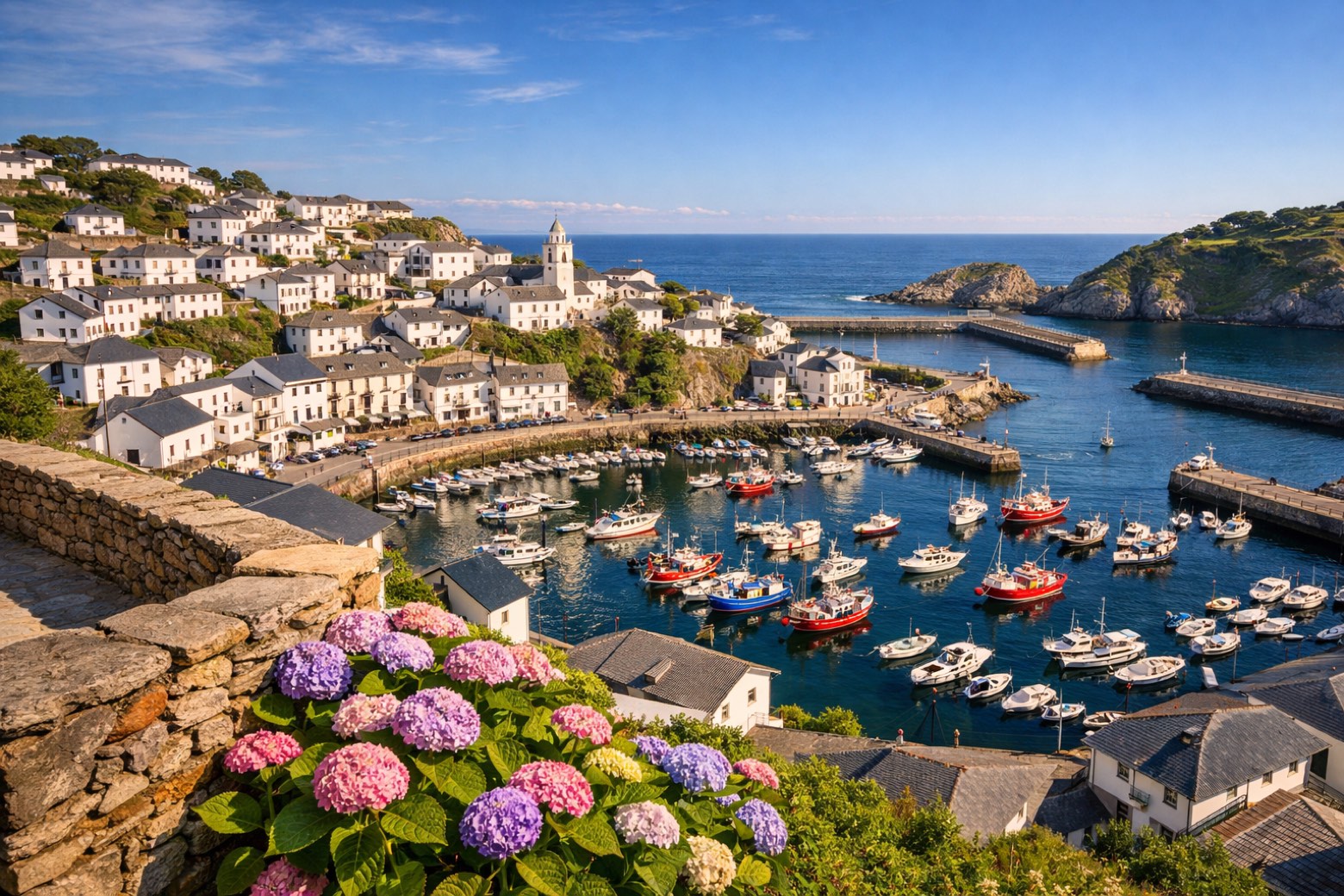 Stage 24
Cadavedo → Luarca
moderateDistance15 kmAscent224 mDescent221 m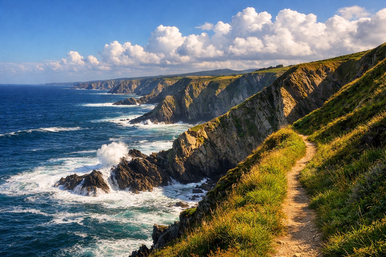 Stage 25
Luarca → La Caridad
challengingDistance33 kmAscent397 mDescent417 m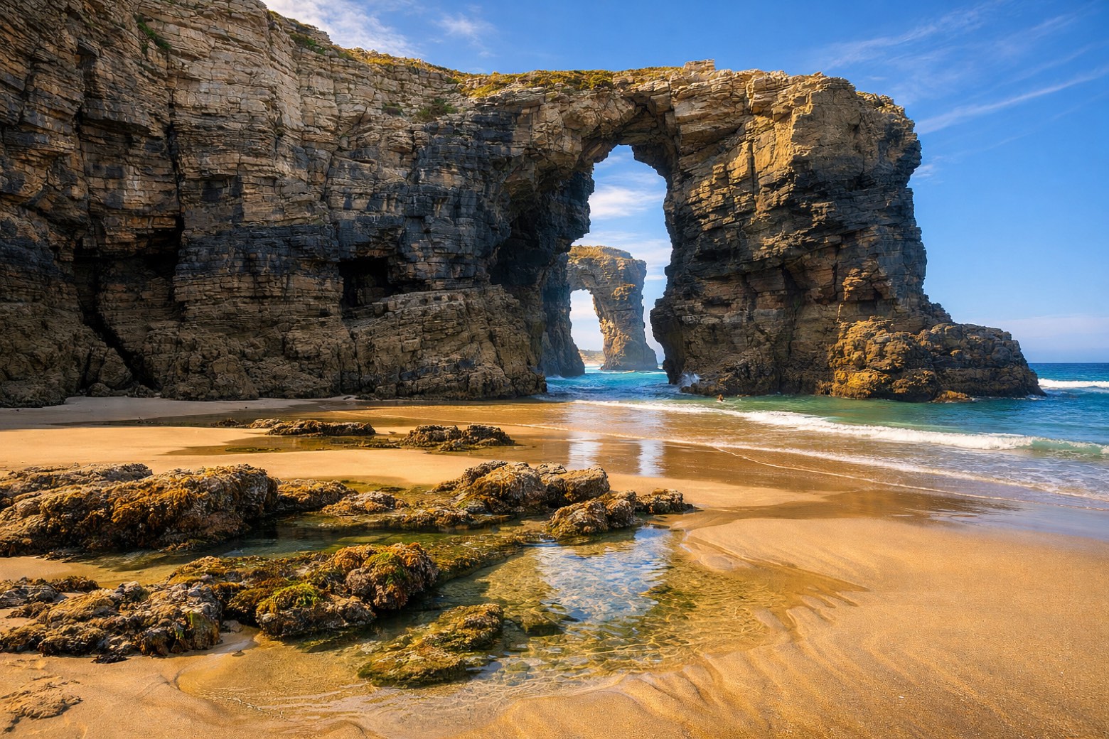 Stage 26
La Caridad → Ribadeo
moderateDistance23 kmAscent180 mDescent208 m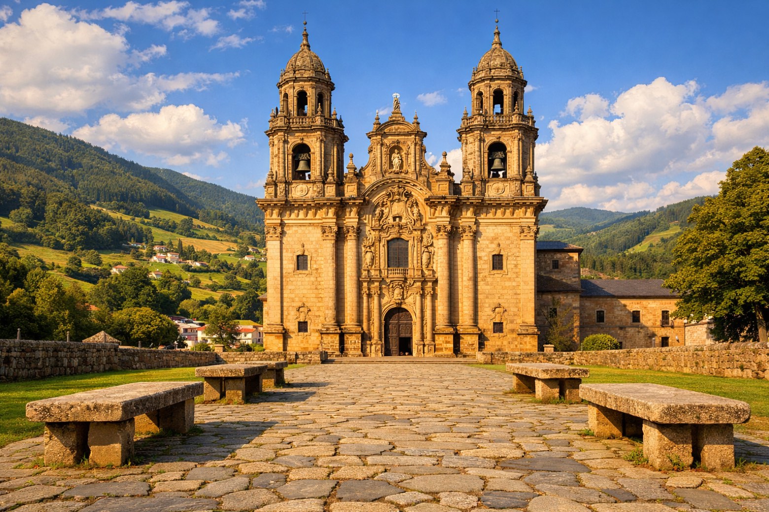 Stage 27
Ribadeo → Lourenzá
challengingDistance27 kmAscent697 mDescent649 m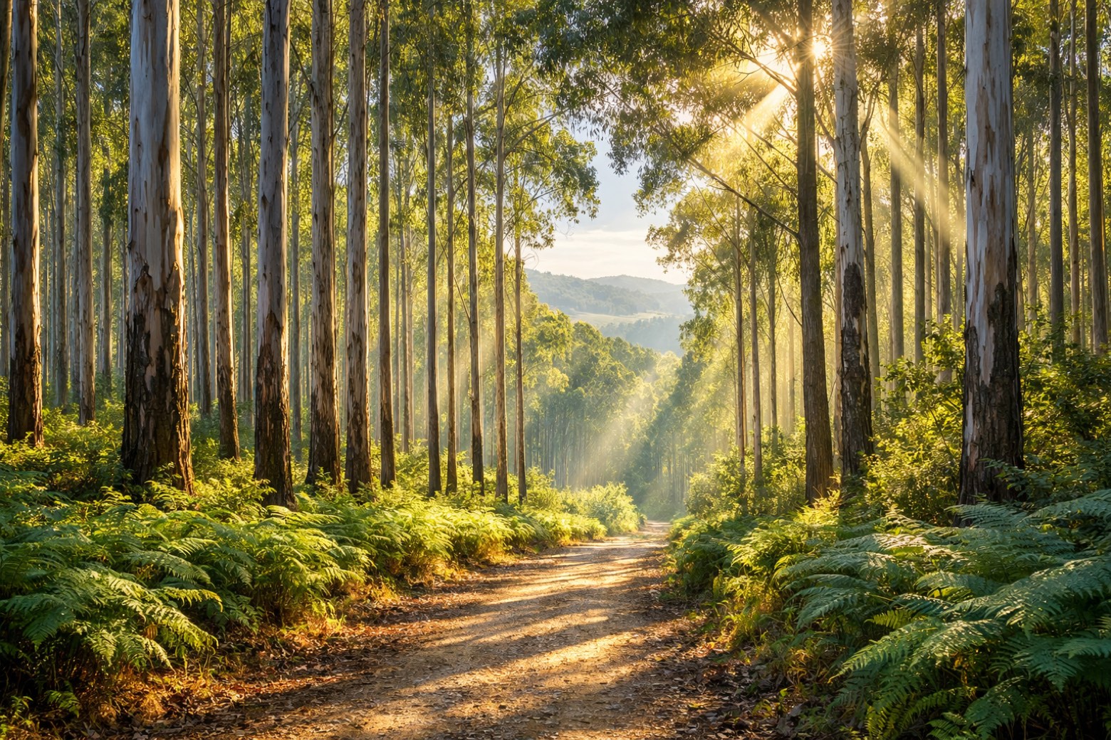 Stage 28
Lourenzá → Abadín
moderateDistance25 kmAscent703 mDescent283 m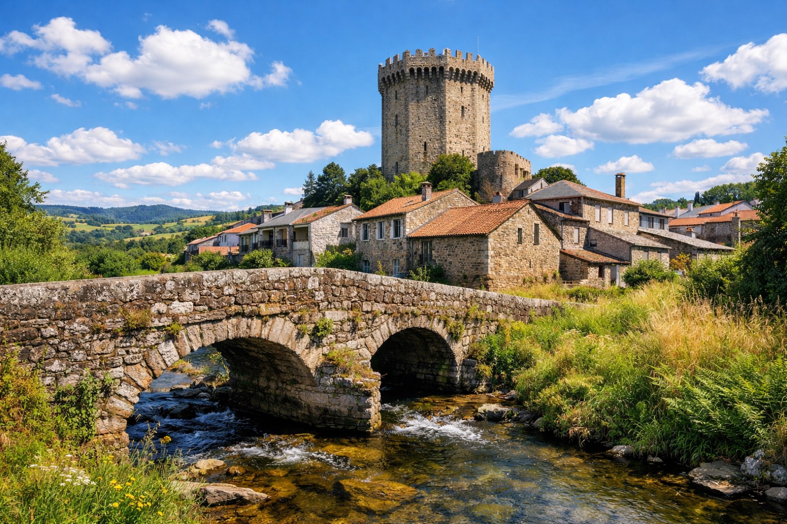 Stage 29
Abadín → Vilalba
moderateDistance20 kmAscent233 mDescent261 m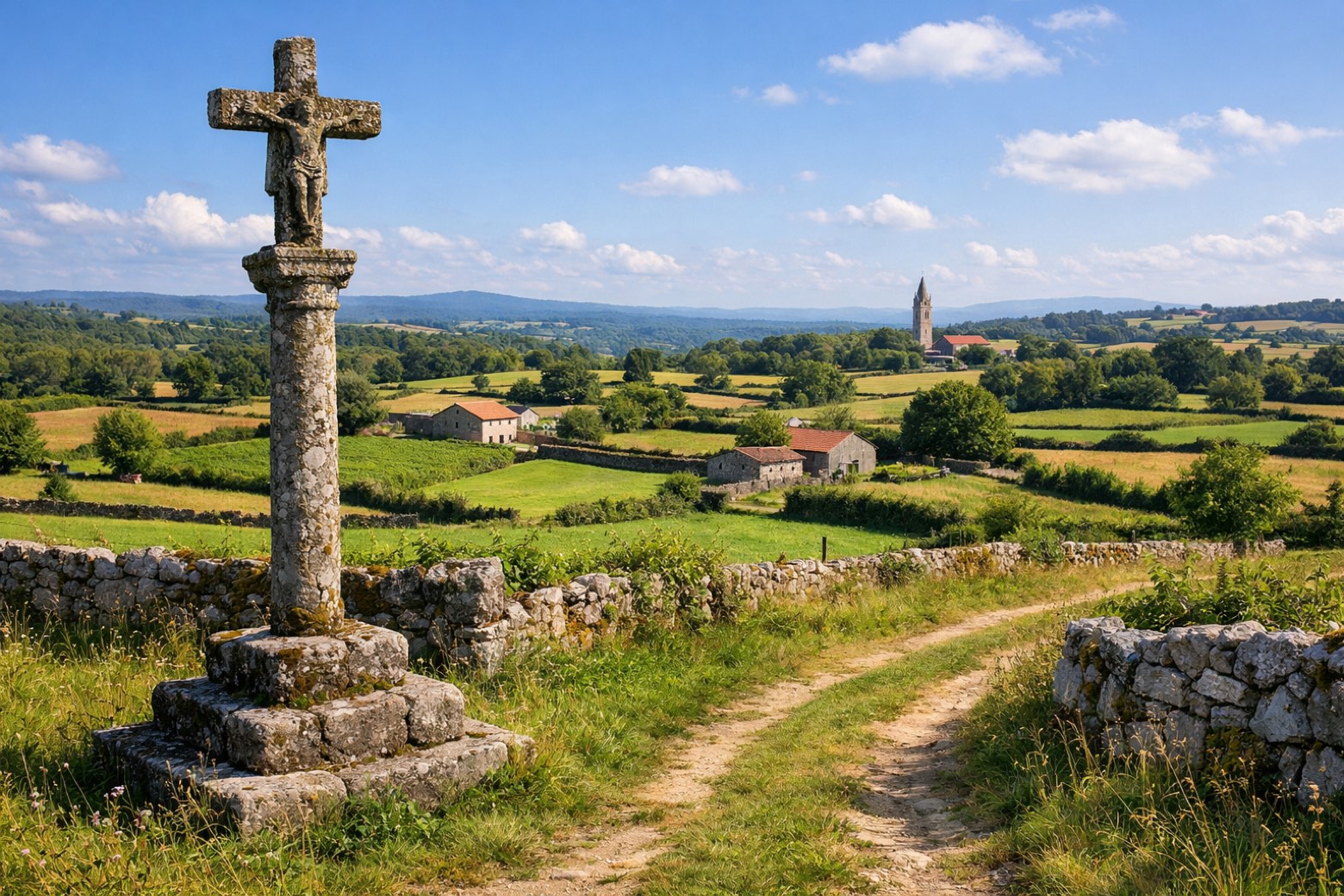 Stage 30
Vilalba → Baamonde
moderateDistance19 kmAscent209 mDescent285 m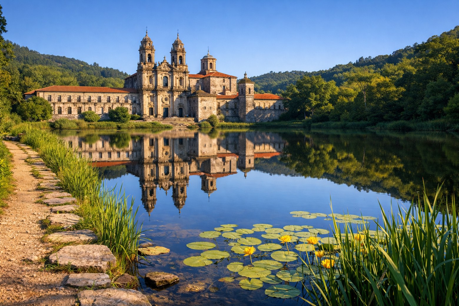 Stage 31
Baamonde → Sobrado dos Monxes
challengingDistance40 kmAscent525 mDescent420 m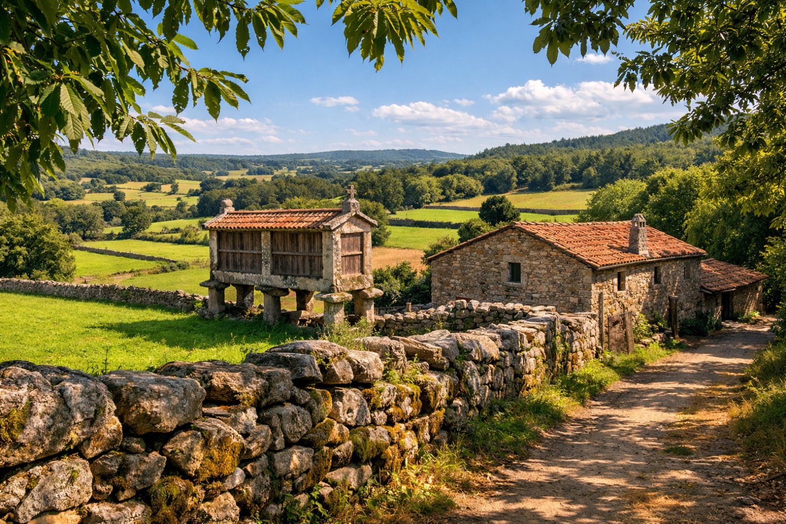 Stage 32
Sobrado dos Monxes → Arzúa
moderateDistance22 kmAscent223 mDescent339 m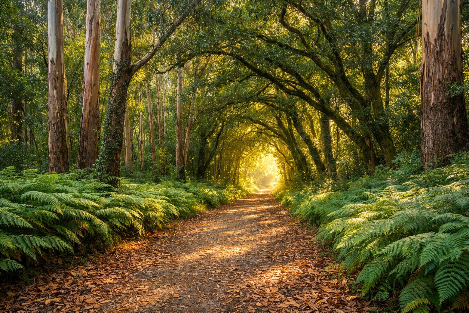 Stage 33
Arzúa → O Pedrouzo
moderateDistance19 kmAscent409 mDescent512 m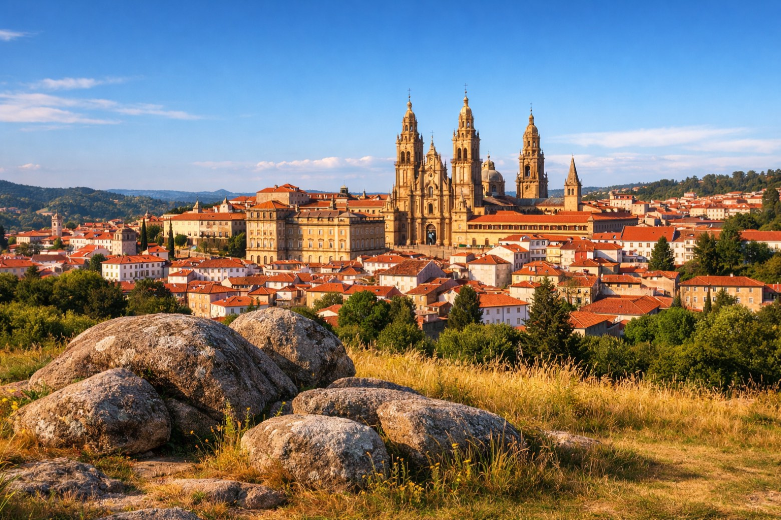 Stage 34Distance20 kmAscent403 mDescent430 m
Points of interest
- Sanctuary of Virgen de Guadalupe, Hondarribia
Sanctuary of Virgen de Guadalupe, Hondarribia. Sanctuary in baroque style, in Hondarribia, Spain, designated as Basque government heritage site.
- San Vicente of Oviedo
8th-century romanesque architecture monastery. Designated as bien de interés cultural. San Vicente de Oviedo is a church and monastery in Oviedo, Spain.
- Yacimiento de la Plaza del Corazón de María
- Monasterio de Suesa
- Urteaga
- Monasterio San Bartolomé en San Sebastián
- Irún (Samian Ware Discovery Site)
- Goikoa Jauregia
Goikoa Jauregia. 19th-century palace, in San Sebastián, Spain.
Travel
Find connections for your cammino.
Search trainsMore walks in Spain
Plan your walking trip
How to choose a walking route: stages, days and ascent
Choose a walking route by comparing daily stages, available days, ascent and transport links. Practical planning with examples from the Appy catalogue.
How to plan a walking trip by train and bus
Plan travel to and from your walk: stage endpoints, stations, stops and the connection to the trail. A practical guide to routes and transport with Appy.
Take your walk with you: download Appy
Camino del Norte. Explore maps, stages and elevation in the app, and plan your train or bus journey.