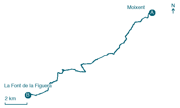
Moixent → La Font de la Figuera
Walking distance 16.9 km
Download Appy for the stage map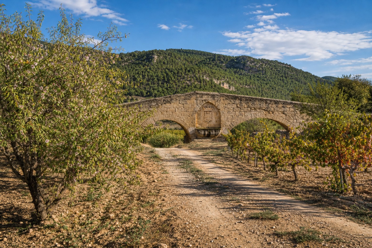
Stage information
- Ascent
- 315 m
- Descent
- 129 m
Difficulty: moderate
Walking the stage
Leaving Moixent past the old Roman bridge and a fountain carved with King James's coat of arms, the path follows a small road before climbing dirt trails through pine woods, vineyards and almond groves. It passes the rural house of Casa Rabosa near the Les Alcusses refuge and Iberian settlement remains, then crosses under a high speed rail viaduct near the end. The stage finishes at La Font de la Figuera, at the sixteenth century Parochial Church of the Nativity of the Virgin.
Before leaving Moixent, locate Castle of Moixent on the map. It is close to the starting point.
What to see on this stage
History and landmarks
Castle of Moixent
Castle · 200 m from the trail as the crow flies
13th-century castle in medieval style, in Moixent, Spain, designated as bien de interés cultural.
Bosquet Dam
1.9 km from the trail as the crow flies
Monument, in Moixent, Spain, designated as BIE.
Nature and landscape
Embalse del Bosquet de Moixent
Lake · 1.9 km from the trail as the crow flies
Map · Moixent → La Font de la Figuera
Take your walk with you: download Appy
Camino del Levante: Moixent → La Font de la Figuera. Explore maps, stages and elevation in the app, and plan your train or bus journey.

