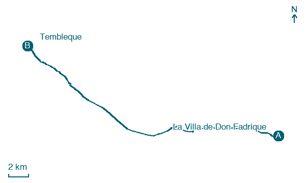
La Villa de Don Fadrique → Tembleque
Walking distance 29 km
Download Appy for the stage map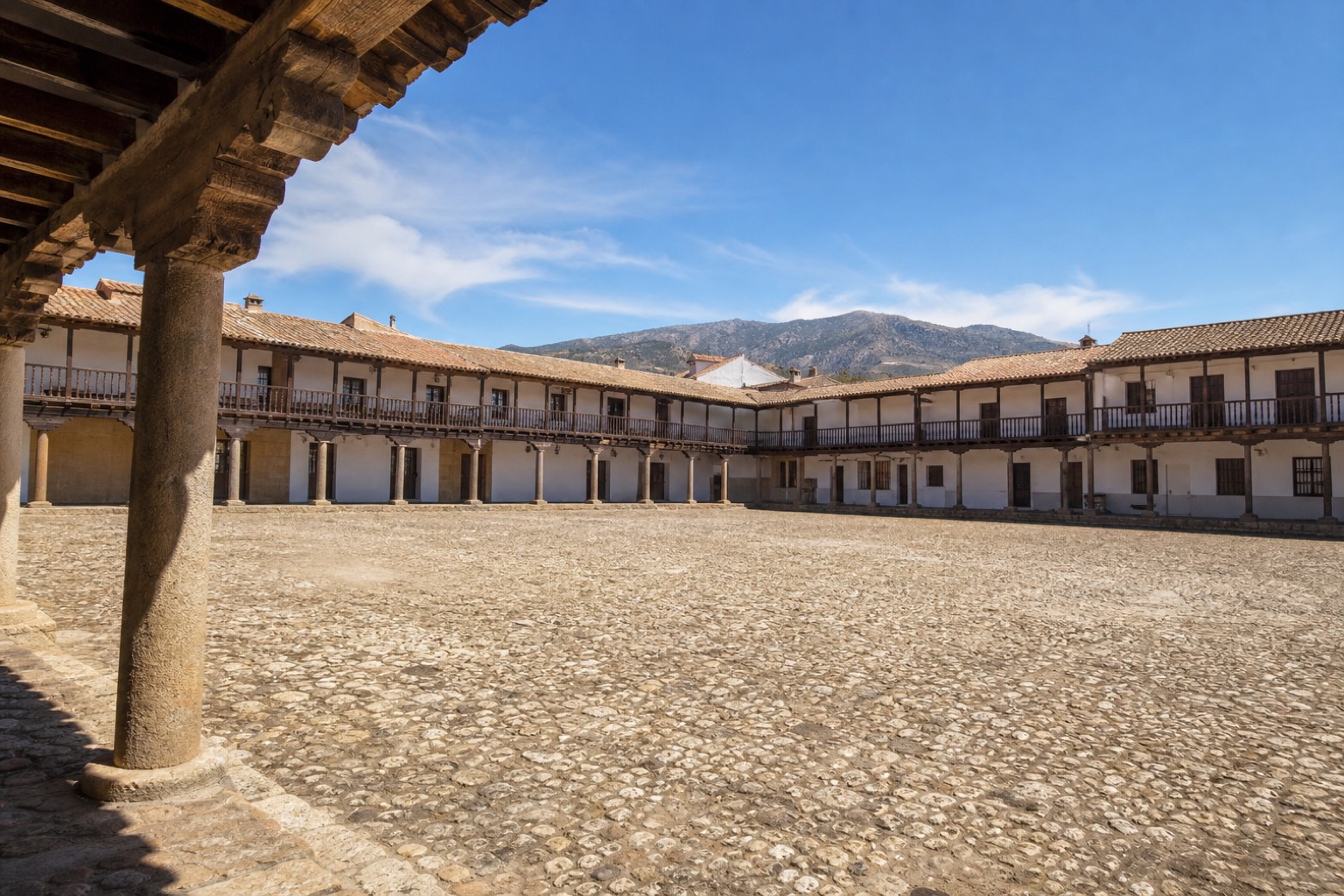
Stage information
- Ascent
- 56 m
- Descent
- 73 m
Difficulty: moderate
Walking the stage
From La Villa de Don Fadrique the route crosses the Riánsares river and reaches Villacañas, whose parish church of the Assumption once belonged to the Order of Saint John, passing the Ermita de San Roque on the way out. It continues through industrial land and dirt tracks with the Sierra del Romeral in view. The stage ends at Tembleque, a town chartered in 1241, at its Plaza Mayor, one of the most striking in Spain, and the Church of the Assumption.
On arrival in Tembleque, consider a stop at Church of Nuestra Señora de la Asunción, close to the finish.
Look for these places on the stage map: Villacañas.
What to see on this stage
History and landmarks
Casa de las Torres, Tembleque
300 m from the trail as the crow flies
Monument, in Tembleque, Spain, designated as bien de interés cultural.
Church of Nuestra Señora de la Asunción
Church · < 100 m from the trail as the crow flies
Church, dedicated to Assumption of Mary, in Tembleque, Spain, designated as bien de interés cultural.
Nature and landscape
Sierra de las Jarillas
Summit · 500 m from the trail as the crow flies
Sierras Peladas
Summit · 1,000 m from the trail as the crow flies
Map · La Villa de Don Fadrique → Tembleque
Take your walk with you: download Appy
Camino del Levante: La Villa de Don Fadrique → Tembleque. Explore maps, stages and elevation in the app, and plan your train or bus journey.

