San Clemente → Las Pedroñeras
Walking distance 23.6 km
Download Appy for the stage map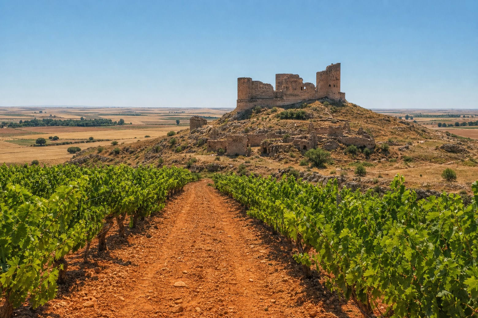
Stage information
- Ascent
- 15 m
- Descent
- 21 m
Difficulty: moderate
Walking the stage
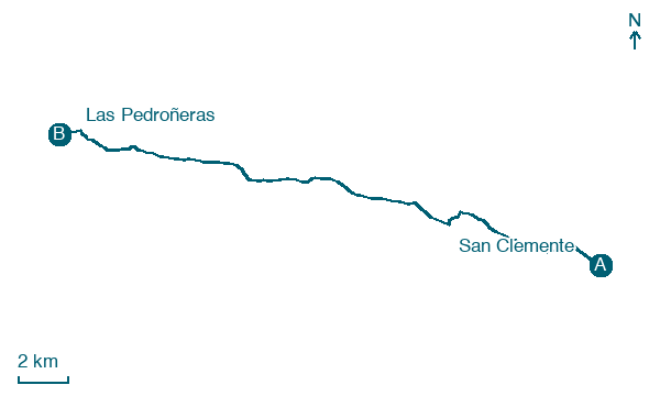
The route leaves San Clemente past the Ermita de San Roque and crosses open country to Santiago de la Torre, an abandoned village beneath a large ruined castle. It crosses the Záncara river on a modern bridge and enters Los Arenales, an area of reddish sandy soil planted with vines. The stage ends at Las Pedroñeras, known for its purple garlic, at the sixteenth century church of Nuestra Señora de la Asunción and the Ermita del Santo Sepulcro.
Before leaving San Clemente, locate Old Tower of San Clemente, Cuenca on the map. It is close to the starting point.
Look for these places on the stage map: Santiago de la Torre.
What to see on this stage
History and landmarks
Old Tower of San Clemente, Cuenca
Tower · < 100 m from the trail as the crow flies
Tower, in San Clemente, Spain, designated as bien de interés cultural.
Church of Santiago Apóstol, San Clemente
Church · < 100 m from the trail as the crow flies
Church in Renaissance style, dedicated to St. James the Elder, in San Clemente, Spain, designated as bien de interés cultural.
Map · San Clemente → Las Pedroñeras
Take your walk with you: download Appy
Camino del Levante: San Clemente → Las Pedroñeras. Explore maps, stages and elevation in the app, and plan your train or bus journey.

