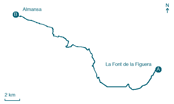
La Font de la Figuera → Almansa
Walking distance 29.2 km
Download Appy for the stage map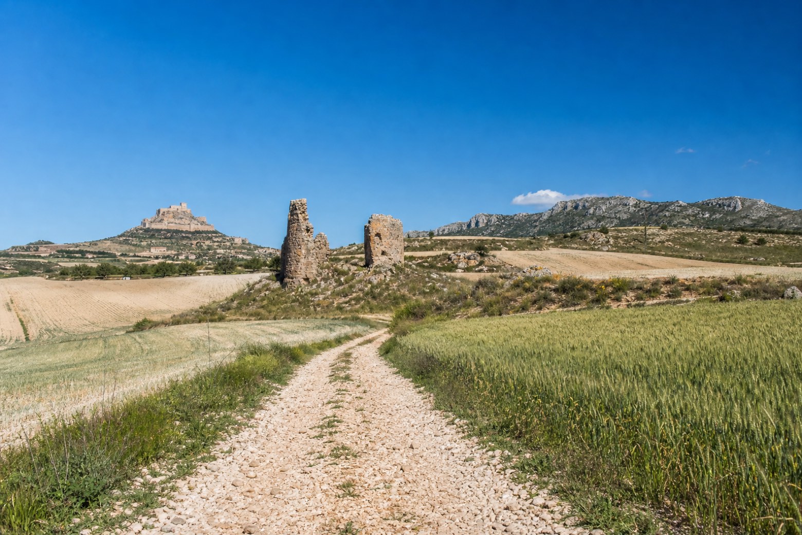
Stage information
- Ascent
- 228 m
- Descent
- 66 m
Difficulty: challenging
Walking the stage
From La Font de la Figuera the route climbs the Travesía del Barranc with Monte Cabrera and El Rocín in view, then passes Torre Chica and Torre Grande, two towers thought to mark the Roman waystation of Ad Turres. It continues through Los Crespos and Casas de Campillo across cereal fields, with Almansa and the Mugrón hill coming into view before the final approach. The stage ends in Almansa's Plaza de Santa María, below the medieval castle and close to the Church of Santiago.
On arrival in Almansa, consider a stop at Castle of Almansa, close to the finish.
Look for these places on the stage map: La Encina.
What to see on this stage
History and landmarks
Palace of Condes de Cirat
Palace · < 100 m from the trail as the crow flies
Palace. Designated as bien de interés cultural.
Castle of Almansa
Castle · 100 m from the trail as the crow flies
Castle, in Almansa, Spain, designated as bien de interés cultural.
Map · La Font de la Figuera → Almansa
Take your walk with you: download Appy
Camino del Levante: La Font de la Figuera → Almansa. Explore maps, stages and elevation in the app, and plan your train or bus journey.

