Mora → Toledo
Walking distance 39.3 km
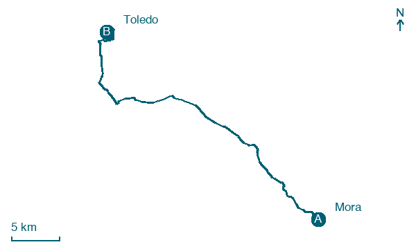
Download Appy for the stage map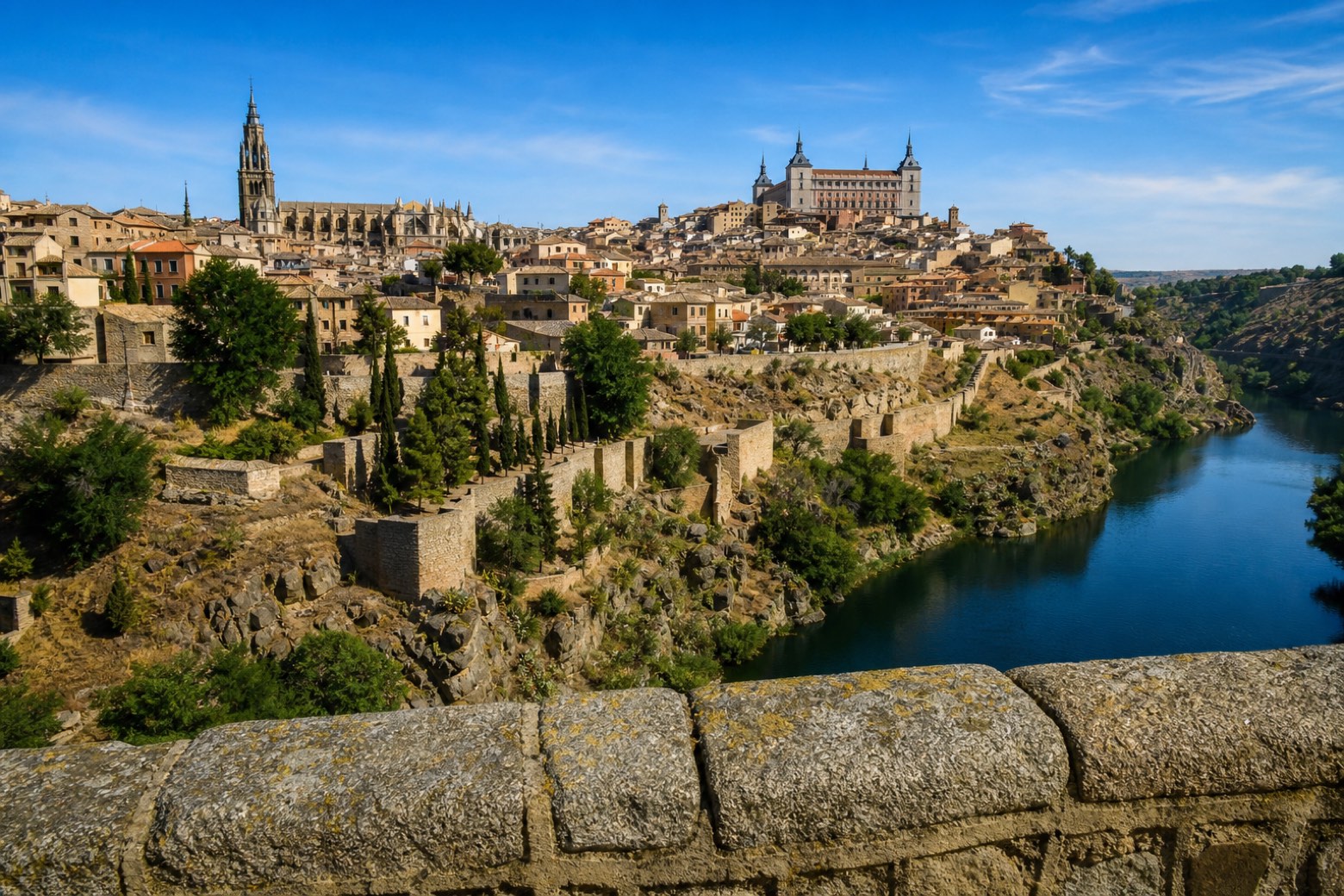
Stage information
- Ascent
- 160 m
- Descent
- 348 m
Difficulty: challenging
Walking the stage
The route crosses Mascaraque, with its old castle turned palace, then Almonacid de Toledo and Nambroca, whose church of the Purification once belonged to the Order of Calatrava. It continues through Burguillos de Toledo and Cobisa, past the San Felipe church and the Santiago Apóstol shrine, through cigarral country on the edge of the city. The stage ends in Toledo, crossing the Alcántara bridge over the Tajo river to the cathedral and the old town.
On arrival in Toledo, consider a stop at Posada de la Sangre, close to the finish.
Look for these places on the stage map: Mascaraque, Almonacid de Toledo, Burguillos de Toledo, and Cobisa.
What to see on this stage
History and landmarks
Posada de la Sangre
< 100 m from the trail as the crow flies
Monument, in Toledo, Spain, designated as bien de interés cultural.
Puerta de Alcántara
< 100 m from the trail as the crow flies
Monument, in Toledo, Spain, designated as bien de interés cultural.
Map · Mora → Toledo
Take your walk with you: download Appy
Camino del Levante: Mora → Toledo. Explore maps, stages and elevation in the app, and plan your train or bus journey.

