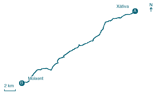
Xàtiva → Moixent
Walking distance 28 km
Download Appy for the stage map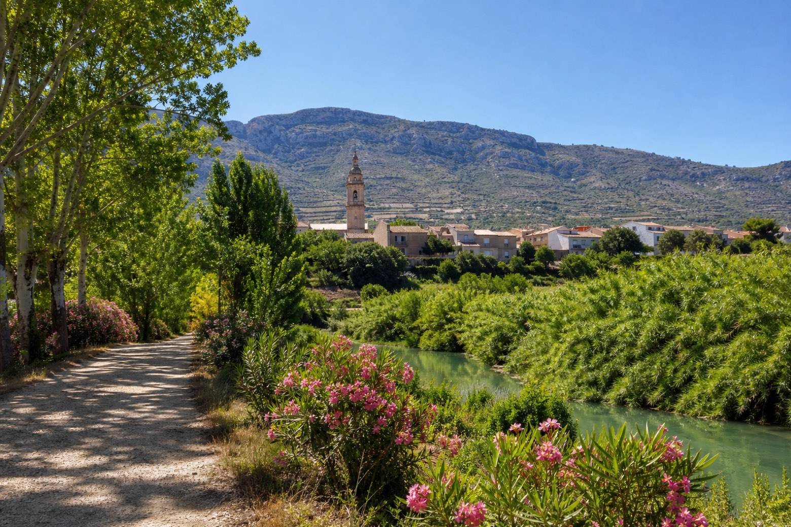
Stage information
- Ascent
- 256 m
- Descent
- 56 m
Difficulty: challenging
Walking the stage
Ceramic scallop shells mark the way out of Xàtiva along the Canyoles river valley, through Novetlé, with its sixteenth century Church of the Virgin of the Rosary, and Annahuir, where the path crosses the high speed rail line. It continues through Canals, known for its irrigation channels, and Vallada, with its Church of San Bartolomé, through oleander and poplar groves with several fords of the river. The stage ends at Moixent, below the Serra Grossa, at the neo-Gothic Church of San Pedro Apóstol near Iberian archaeological remains.
Before leaving Xàtiva, locate Historic Center of Játiva on the map. It is close to the starting point.
Look for these places on the stage map: Novetlè, Aiacor, Montesa, and Vallada.
What to see on this stage
History and landmarks
Historic Center of Játiva
< 100 m from the trail as the crow flies
Monument, in Xàtiva, Spain, designated as bien de interés cultural.
Municipal Hospital of Játiva
< 100 m from the trail as the crow flies
Monument in Valencian Gothic style, in Xàtiva, Spain, designated as cultural heritage.
Nature and landscape
Penya de Sant Diego
Summit · 800 m from the trail as the crow flies
Penya Roja
Summit · 800 m from the trail as the crow flies
Map · Xàtiva → Moixent
Take your walk with you: download Appy
Camino del Levante: Xàtiva → Moixent. Explore maps, stages and elevation in the app, and plan your train or bus journey.

