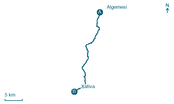
Algemesí → Xàtiva
Walking distance 31.8 km
Download Appy for the stage map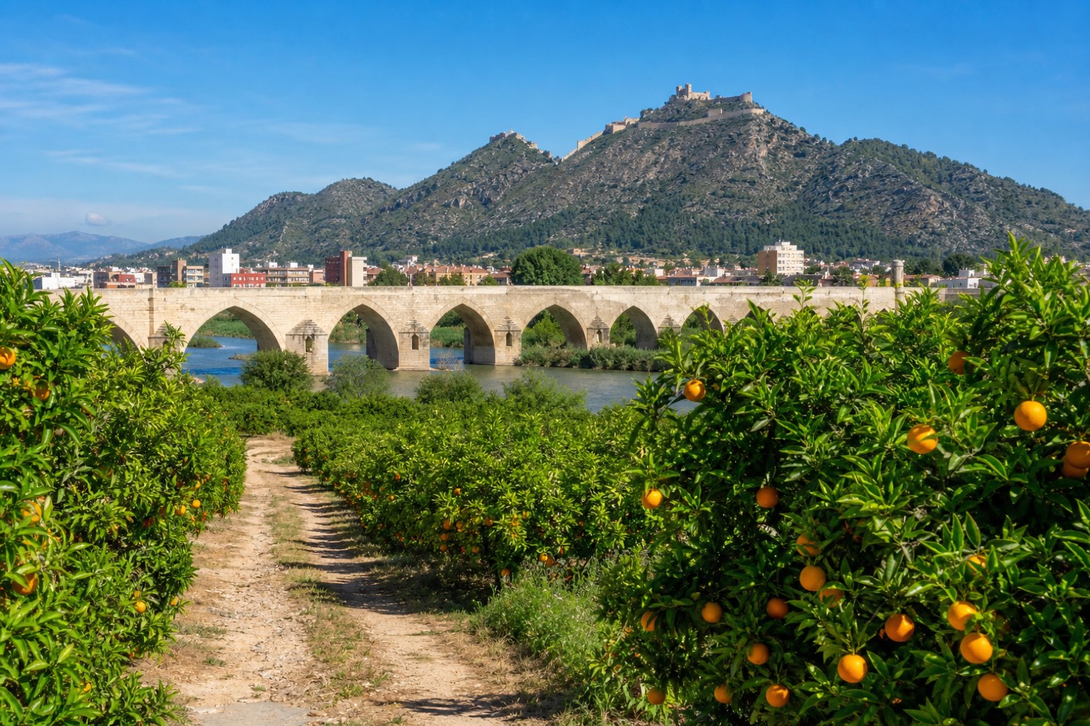
Stage information
- Ascent
- 81 m
- Descent
- 27 m
Difficulty: challenging
Walking the stage
From Algemesí's basilica the walk crosses the Magro river and follows the old Via Augusta through orange groves to Alzira, a former stronghold with ninth and tenth century walls, the Gothic bridge of Santa María and the Arciprestal Church of Santa Catalina Mártir, built on the site of the old mosque. It continues through Carcaixent and La Pobla Llarga, crossing the Júcar and Albaida rivers. The stage ends at Xàtiva, where the Colegiata Basilica and the fourteenth century Church of San Francisco stand close to the old travelers' hospital.
On arrival in Xàtiva, consider a stop at Palau d'Alarcó, close to the finish.
Look for these places on the stage map: Alzira, la Pobla Llarga, l'Énova, and el Genovés.
What to see on this stage
History and landmarks
Fountain of the Angel
< 100 m from the trail as the crow flies
Fountain, in Xàtiva, Spain, designated as Property of Local Relevance.
Palau d'Alarcó
Palace · < 100 m from the trail as the crow flies
18th-century palace in baroque style, in Xàtiva, Spain, designated as bien de interés cultural.
Nature and landscape
Serreta Pastora
Summit · 400 m from the trail as the crow flies
el Puig
Summit · 500 m from the trail as the crow flies
Map · Algemesí → Xàtiva
Take your walk with you: download Appy
Camino del Levante: Algemesí → Xàtiva. Explore maps, stages and elevation in the app, and plan your train or bus journey.

