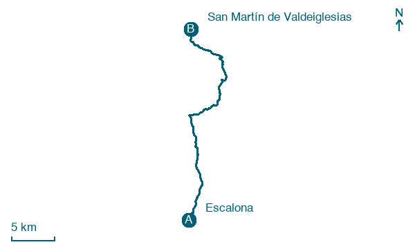
Escalona → San Martín de Valdeiglesias
Walking distance 31.1 km
Download Appy for the stage map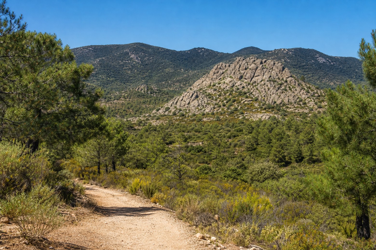
Stage information
- Ascent
- 668 m
- Descent
- 469 m
Difficulty: challenging
Walking the stage
The route leaves Escalona's Plaza Infante Juan Manuel and crosses a series of streams, the Arroyo de la Parga, the Arroyo de Colmenar and the Arroyo de Labros, climbing through scrubland and pine forest near the Cañada de Talavera. It passes the provincial boundary near Canto de las Tres Cruces and reaches the village of Almorox. The stage ends at San Martín de Valdeiglesias, entering Madrid province at the Plaza de la Corredera.
Before leaving Escalona, locate Convent of the Conceptionist Franciscans on the map. It is close to the starting point. On arrival in San Martín de Valdeiglesias, consider a stop at Castle of San Martín de Valdeiglesias, close to the finish.
Look for these places on the stage map: Almorox, Las Mariscalas, and Parque Romillo.
What to see on this stage
History and landmarks
Convent of the Conceptionist Franciscans
Monastery · 100 m from the trail as the crow flies
16th-century monastery, in Escalona, Spain, designated as bien de interés cultural.
Castle of San Martín de Valdeiglesias
Castle · 200 m from the trail as the crow flies
Castle, in San Martín de Valdeiglesias, Spain, designated as bien de interés cultural.
Nature and landscape
Canto de tres Cruces
Summit · < 100 m from the trail as the crow flies
Altolamira
Summit · 800 m from the trail as the crow flies
Map · Escalona → San Martín de Valdeiglesias
Take your walk with you: download Appy
Camino del Levante: Escalona → San Martín de Valdeiglesias. Explore maps, stages and elevation in the app, and plan your train or bus journey.

