La Roda → San Clemente
Walking distance 34.6 km
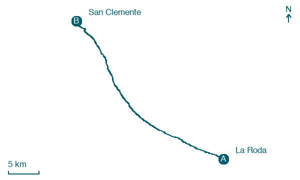
Download Appy for the stage map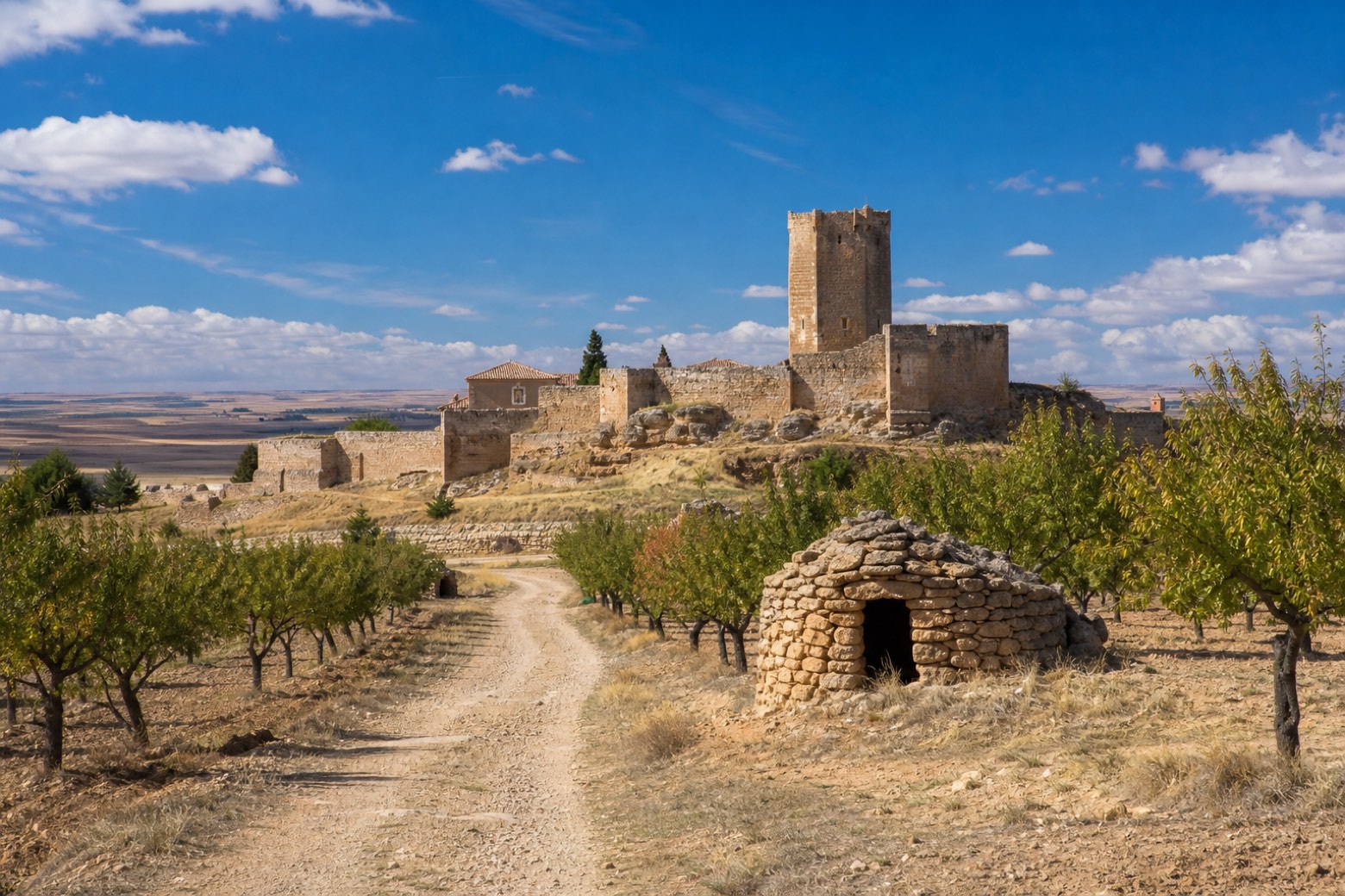
Stage information
- Ascent
- 9 m
- Descent
- 4 m
Difficulty: challenging
Walking the stage
Leaving La Roda past its old chimneys, the path follows the road toward Minaya alongside power lines, with shepherd shelters and almond trees marking the way. Minaya keeps a sixteenth century Gothic church dedicated to Santiago el Mayor and an old post inn, and the route continues through a pine wood near Casas de los Pinos, whose church honors Nuestra Señora de la Candelaria. The stage ends at San Clemente, a walled medieval town with the fifteenth century church of Santiago Apóstol and the Torre Vieja fortress tower.
Before leaving La Roda, locate Palace of the Countess of Villaleal on the map. It is close to the starting point. On arrival in San Clemente, consider a stop at Old Tower of San Clemente, Cuenca, close to the finish.
Look for these places on the stage map: Minaya, Los Estesos, and Casas de los Pinos.
What to see on this stage
History and landmarks
Palace of the Countess of Villaleal
< 100 m from the trail as the crow flies
Monument, in La Roda, Spain, designated as bien de interés cultural.
Old Tower of San Clemente, Cuenca
Tower · < 100 m from the trail as the crow flies
Tower, in San Clemente, Spain, designated as bien de interés cultural.
Map · La Roda → San Clemente
Take your walk with you: download Appy
Camino del Levante: La Roda → San Clemente. Explore maps, stages and elevation in the app, and plan your train or bus journey.

