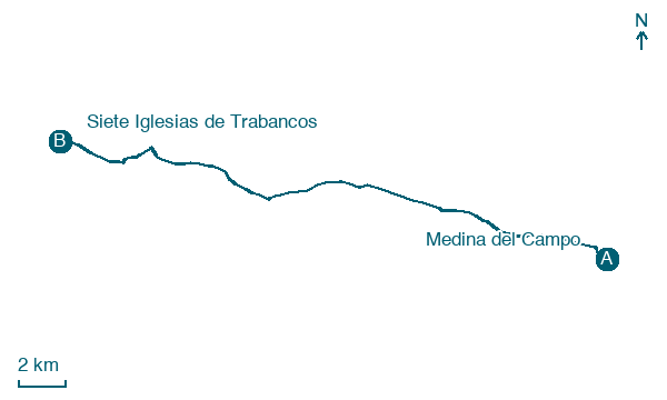
Medina del Campo → Siete Iglesias de Trabancos
Walking distance 24.7 km
Download Appy for the stage map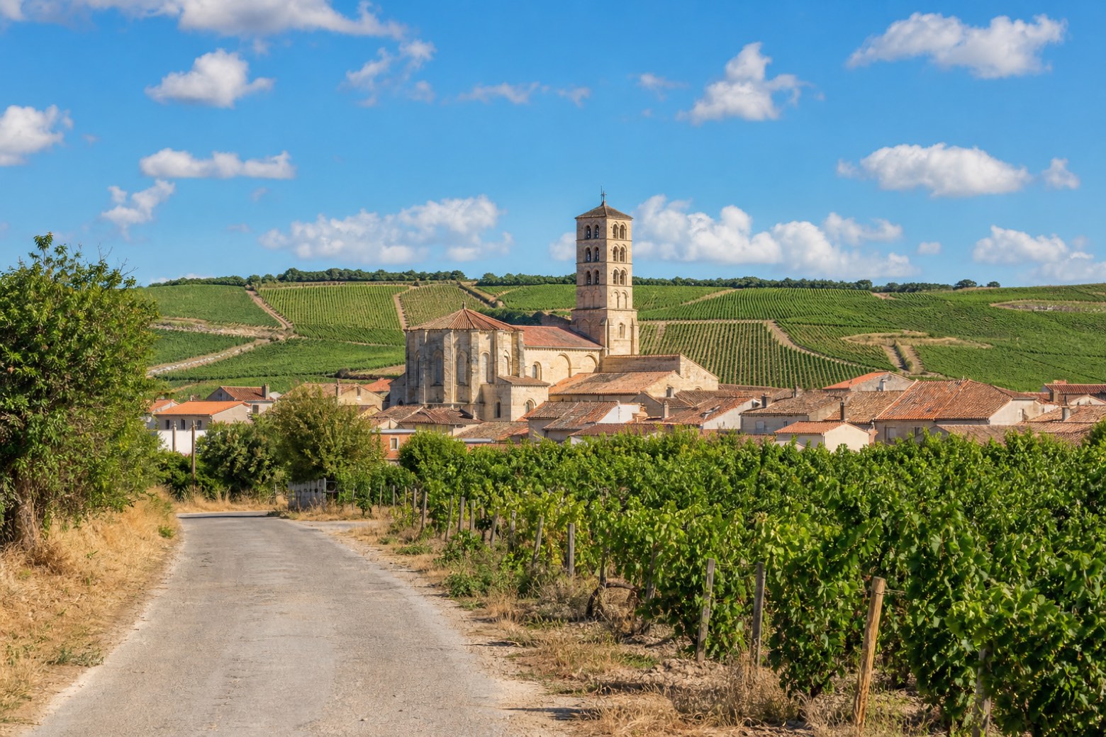
Stage information
- Ascent
- 128 m
- Descent
- 113 m
Difficulty: moderate
Walking the stage
From Medina del Campo the walk leaves past the church of Santiago and crosses farmland through Dueñas de Abajo and Dueñas de Arriba to Nava del Rey, where the Romanesque-founded church of los Santos Juanes and the Convento de los Agustinos stand. It continues toward Alaejos and crosses the Trabancos river on a small bridge beneath a motorway viaduct. The stage ends at Siete Iglesias de Trabancos, at the sixteenth century church of San Pelayo, in a place once home to seven separate churches.
Before leaving Medina del Campo, locate Palacio Testamentario on the map. It is close to the starting point.
Look for these places on the stage map: Nava del Rey.
What to see on this stage
History and landmarks
Museo de las Ferias
Museum · < 100 m from the trail as the crow flies
20th-century museum, in Medina del Campo, Spain.
Palacio Testamentario
Palace · < 100 m from the trail as the crow flies
Palace in Renaissance style, in Medina del Campo, Spain, designated as bien de interés cultural.
Map · Medina del Campo → Siete Iglesias de Trabancos
Take your walk with you: download Appy
Camino del Levante: Medina del Campo → Siete Iglesias de Trabancos. Explore maps, stages and elevation in the app, and plan your train or bus journey.

