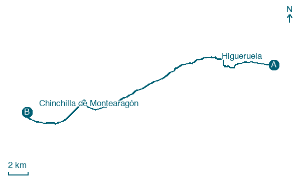
Higueruela → Chinchilla de Montearagón
Walking distance 29.4 km
Download Appy for the stage map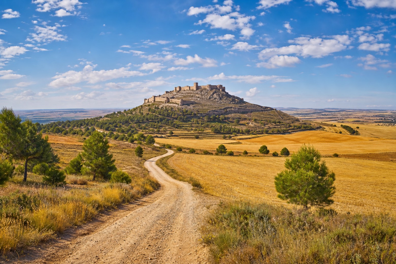
Stage information
- Ascent
- 79 m
- Descent
- 219 m
Difficulty: challenging
Walking the stage
From Higueruela the route follows a road toward Hoya Gonzalo, passing the small settlement of Oncebreros with its hermitage and stone shepherd huts called cucos. In Hoya Gonzalo it passes the church of Nuestra Señora de los Remedios before dirt tracks lead past Casa del Médico and El Fontanar de Abajo. The stage ends at Chinchilla de Montearagón, the former Roman town of Saltigi, below its Arab castle and Arab baths, at the parish church of the Natividad de Nuestra Señora.
On arrival in Chinchilla de Montearagón, consider a stop at Church of Santa María del Salvador, close to the finish.
Look for these places on the stage map: Hoya-Gonzalo and Estación de Chinchilla.
What to see on this stage
History and landmarks
Church of Santa María del Salvador
200 m from the trail as the crow flies
Monument in Mudéjar style, dedicated to Mary, in Chinchilla de Montearagón, Spain, designated as bien de interés cultural.
Museo de Cerámica Nacional (Chinchilla de Montearagón)
Museum · 200 m from the trail as the crow flies
20th-century museum, in Chinchilla de Montearagón, Spain.
Nature and landscape
Cerro de las Tres Piedras
Summit · 1.9 km from the trail as the crow flies
Map · Higueruela → Chinchilla de Montearagón
Take your walk with you: download Appy
Camino del Levante: Higueruela → Chinchilla de Montearagón. Explore maps, stages and elevation in the app, and plan your train or bus journey.

