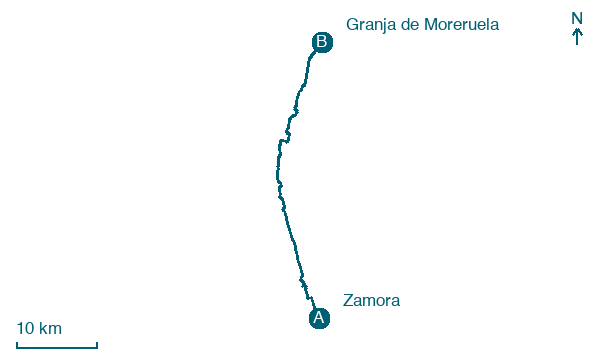
Zamora → Granja de Moreruela
Walking distance 40.7 km
Download Appy for the stage map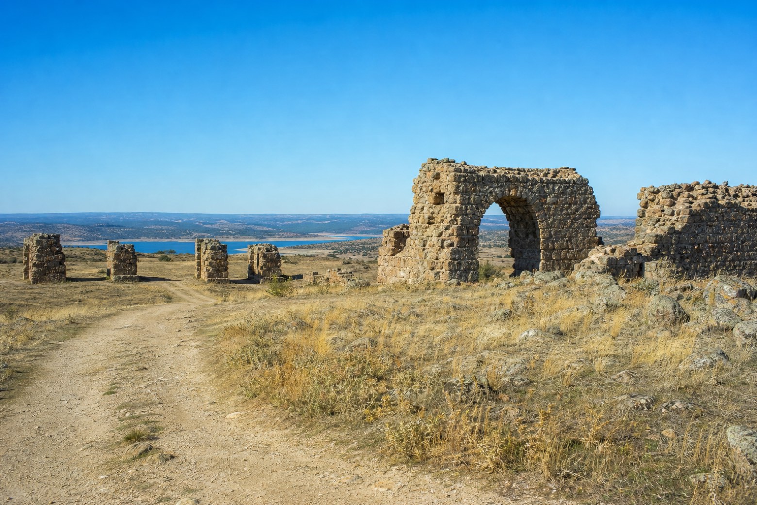
Stage information
- Ascent
- 138 m
- Descent
- 80 m
Difficulty: challenging
Walking the stage
Leaving Zamora on a flat former cattle path, the route passes through Roales and Montamarta, by the Ricobayo reservoir, where the Renaissance Ermita de la Virgen del Castillo stands on a promontory. It passes the ruins of Castrotorafe, a medieval site identified with the Roman waystation of Vico Aquario, of which only walls, castle remains and bridge pillars survive, then Fontanillas de Castro and Riego del Camino. The stage ends at Granja de Moreruela, close to the remains of the Monasterio de Moreruela, among Spain's earliest Cistercian monasteries, with its apse of seven chapels.
Before leaving Zamora, locate Church of San Juan de Puerta Nueva, Zamora on the map. It is close to the starting point.
Look for these places on the stage map: Roales del Pan, Montamarta, Fontanillas de Castro, and Riego del Camino.
What to see on this stage
History and landmarks
Church of San Juan de Puerta Nueva, Zamora
< 100 m from the trail as the crow flies
Monument in Romanesque art style, dedicated to John the Baptist, in Zamora, Spain, designated as bien de interés cultural.
Teatro Principal de Zamora
< 100 m from the trail as the crow flies
Monument, designed by Eugenio Durán, in Zamora, Spain, designated as bien de interés cultural.
Map · Zamora → Granja de Moreruela
Take your walk with you: download Appy
Camino del Levante: Zamora → Granja de Moreruela. Explore maps, stages and elevation in the app, and plan your train or bus journey.

