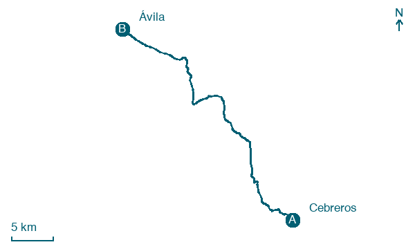
Cebreros → Ávila
Walking distance 39.2 km
Download Appy for the stage map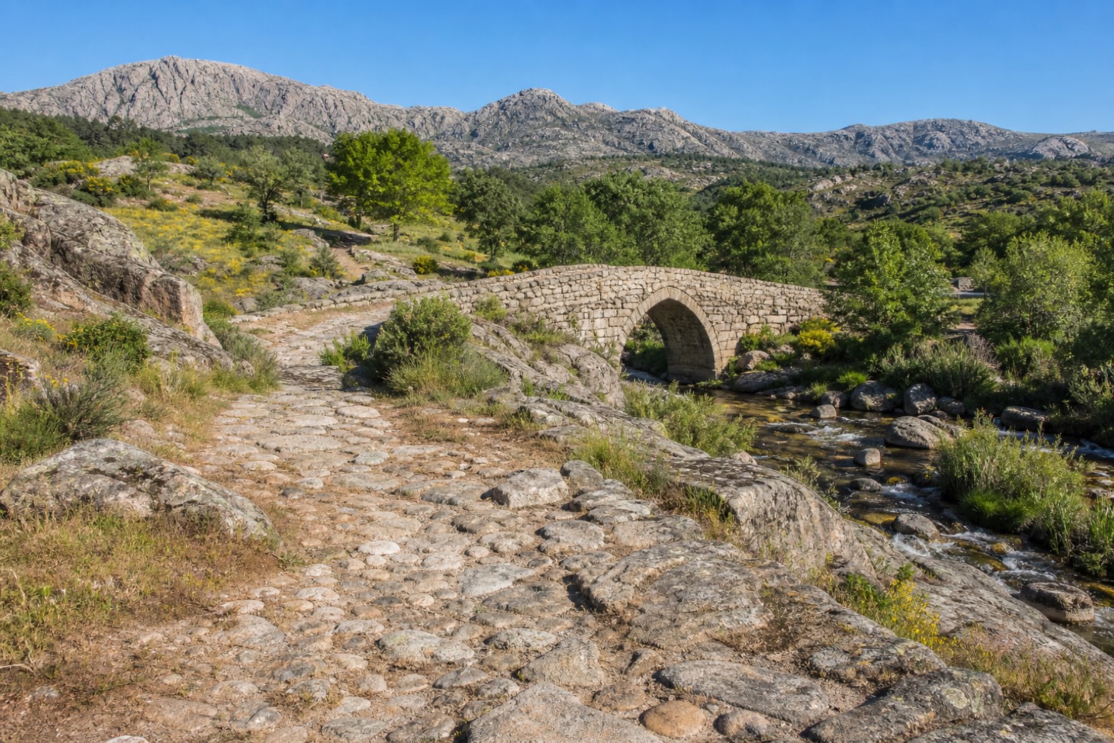
Stage information
- Ascent
- 1017 m
- Descent
- 649 m
Difficulty: challenging
Walking the stage
From Cebreros the path climbs about 250 metres in under two kilometres to the Puerto de Arrebatacapas, following a medieval stone track and a stretch of Roman causeway. It passes San Bartolomé de Pinares, with its fifteenth century fountain and ornate church, and El Herradón de Pinares, where a restored medieval bridge crosses the Arroyo Gaznata. The stage ends at Ávila, entering the walled city past the church of Santiago, rich in imagery of Saint James.
Before leaving Cebreros, locate Museo Adolfo Suárez y la Transición on the map. It is close to the starting point. On arrival in Ávila, consider a stop at Palacio de los Dávila, close to the finish.
Look for these places on the stage map: San Bartolomé de Pinares, El Herradón, and Tornadizos de Ávila.
What to see on this stage
History and landmarks
Museo Adolfo Suárez y la Transición
Museum · < 100 m from the trail as the crow flies
Adolfo Suárez and the Transition Museum. Museum, dedicated to Spanish transition to democracy, in Cebreros, Spain.
Palacio de los Dávila
Palace · < 100 m from the trail as the crow flies
Palace, in Ávila, Spain, designated as bien de interés cultural.
Nature and landscape
Cerro de la Estrella
Summit · 300 m from the trail as the crow flies
Umbría
Summit · 500 m from the trail as the crow flies
Map · Cebreros → Ávila
Take your walk with you: download Appy
Camino del Levante: Cebreros → Ávila. Explore maps, stages and elevation in the app, and plan your train or bus journey.

