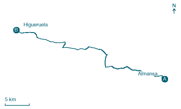
Almansa → Higueruela
Walking distance 39.1 km
Download Appy for the stage map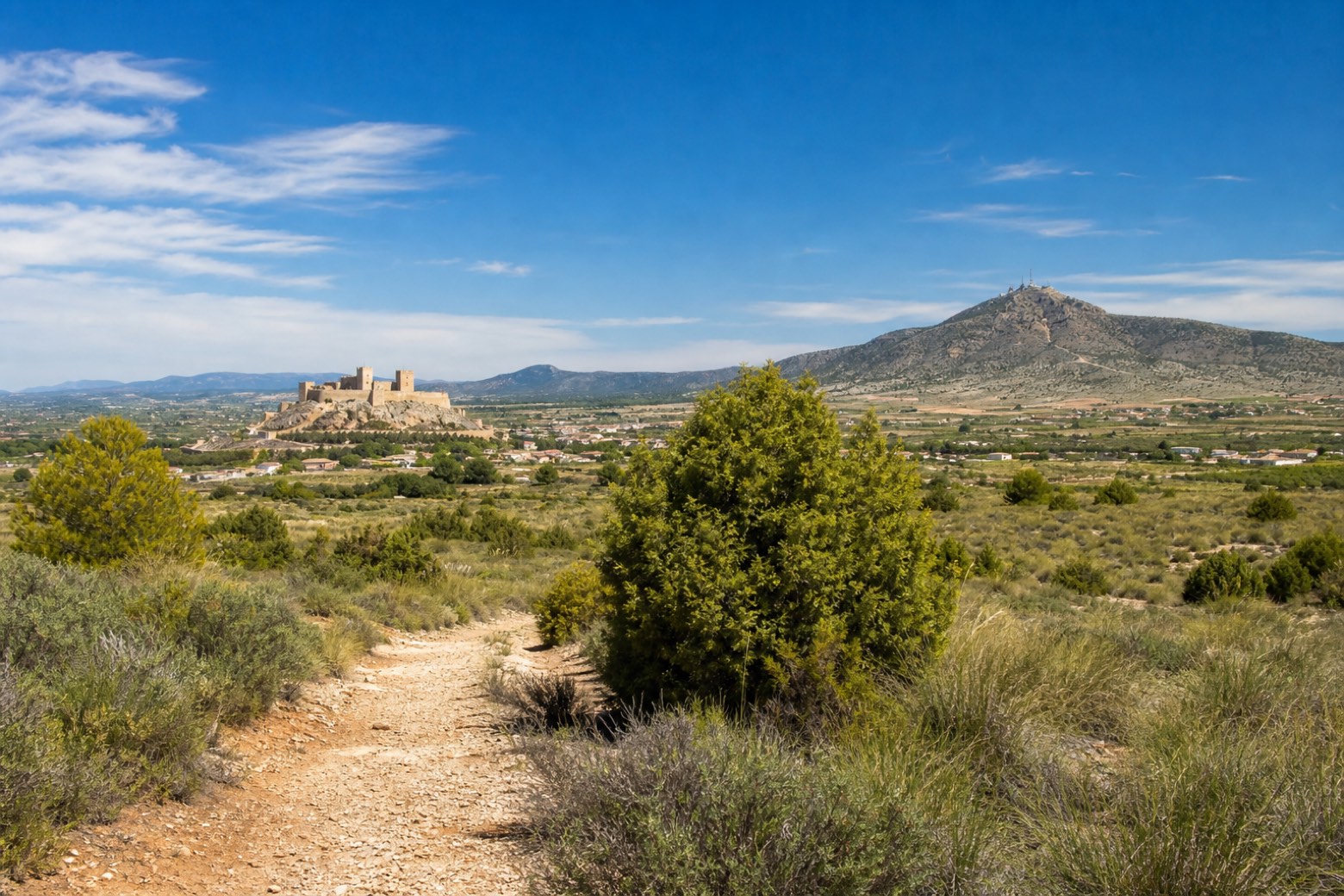
Stage information
- Ascent
- 431 m
- Descent
- 115 m
Difficulty: challenging
Walking the stage
The path leaves Almansa past the church and a row of old stone mansions, crosses under the motorway, and passes an old mill near the Ermita de San Antonio among esparto grass, rosemary and juniper. It crosses the Rambla del Pantano and continues past the hamlet of Casillas de Marín de Arriba, through pine forest and grain fields. The stage ends at Higueruela, on the slopes of Monte Santa Bárbara la Vieja, at the eighteenth century Iglesia de Santa Quiteria.
Before leaving Almansa, locate Castle of Almansa on the map. It is close to the starting point.
Look for these places on the stage map: Casillas de Marín de Abajo and Casillas de Marín de Arriba.
What to see on this stage
History and landmarks
Castle of Almansa
Castle · 200 m from the trail as the crow flies
Castle, in Almansa, Spain, designated as bien de interés cultural.
Palace of Condes de Cirat
Palace · 300 m from the trail as the crow flies
Palace. Designated as bien de interés cultural.
Nature and landscape
Almansa Reservoir
Lake · 1.6 km from the trail as the crow flies
Lake, in Albacete Province, Spain, covering 40.0 km².
Cerro de la Fuente Navalón
Summit · 200 m from the trail as the crow flies
Map · Almansa → Higueruela
Take your walk with you: download Appy
Camino del Levante: Almansa → Higueruela. Explore maps, stages and elevation in the app, and plan your train or bus journey.

