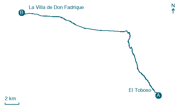
El Toboso → La Villa de Don Fadrique
Walking distance 26.8 km
Download Appy for the stage map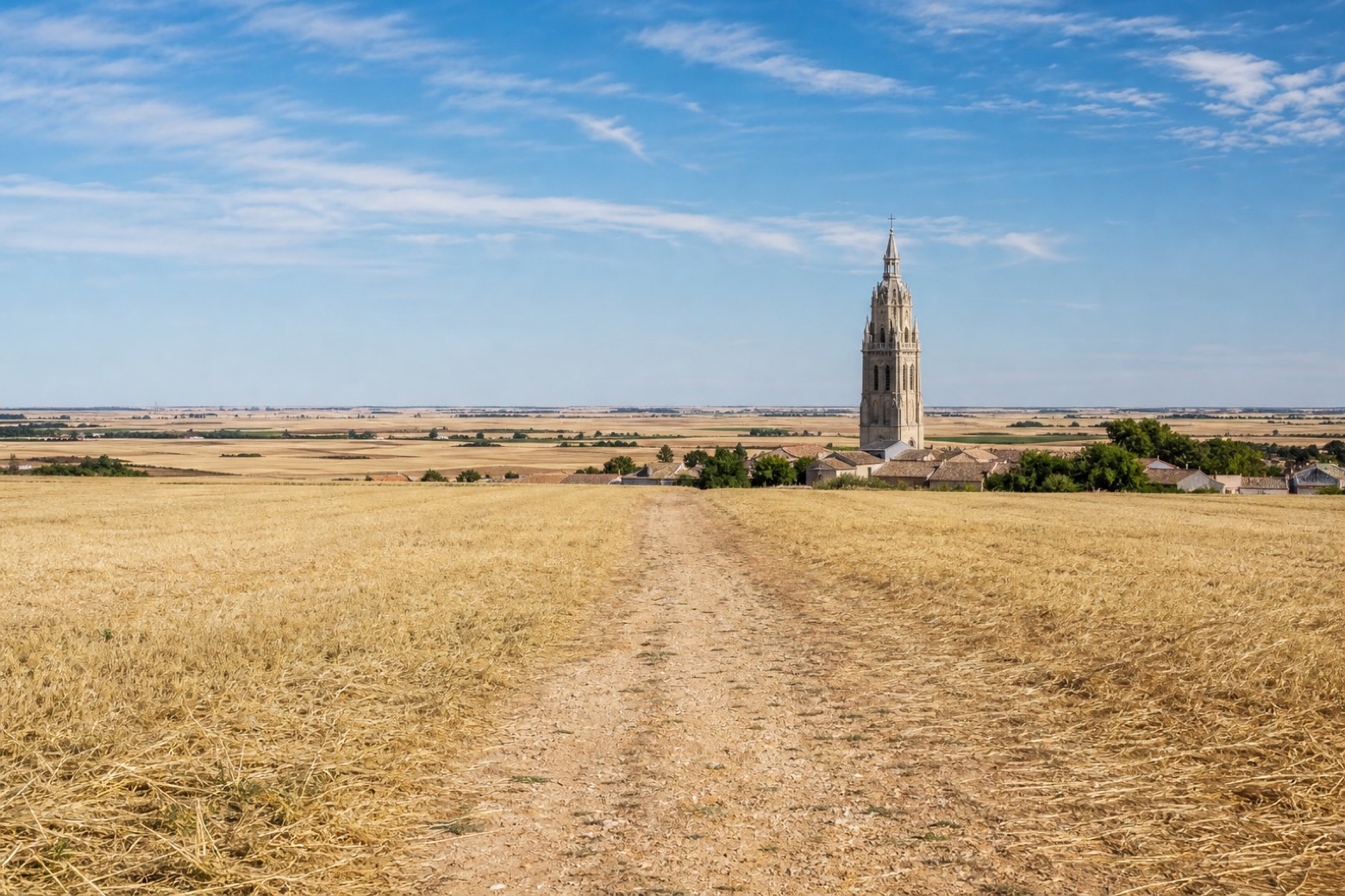
Stage information
- Ascent
- 18 m
- Descent
- 28 m
Difficulty: moderate
Walking the stage
The path leaves El Toboso across flat farmland toward Quintanar de la Orden, passing the old pillory and the sixteenth century Gothic church of Santiago de la Espada, built over a former mosque. It continues to La Puebla de Almoradiel, with its church of San Juan Bautista, before crossing the Cigüela river. The stage ends at La Villa de Don Fadrique, founded in 1384, at the church of Nuestra Señora de la Asunción with its scallop shell carved doorway.
Before leaving El Toboso, locate Church of San Antonio Abad, El Toboso on the map. It is close to the starting point.
Look for these places on the stage map: Quintanar de la Orden and La Puebla de Almoradiel.
What to see on this stage
History and landmarks
Museo Casa de Dulcinea
Museum · 300 m from the trail as the crow flies
Museum, in El Toboso, Spain.
Church of San Antonio Abad, El Toboso
Church · 100 m from the trail as the crow flies
Church, dedicated to Anthony the Great, in El Toboso, Spain, designated as bien de interés cultural.
Map · El Toboso → La Villa de Don Fadrique
Take your walk with you: download Appy
Camino del Levante: El Toboso → La Villa de Don Fadrique. Explore maps, stages and elevation in the app, and plan your train or bus journey.

