Stage 22 · Camino del Levante
Ávila → Gotarrendura
Stage information
Distance: 22 km
Ascent: 167 m
Descent: 335 m
Difficulty: moderate. Difficulty recorded in the catalogue.
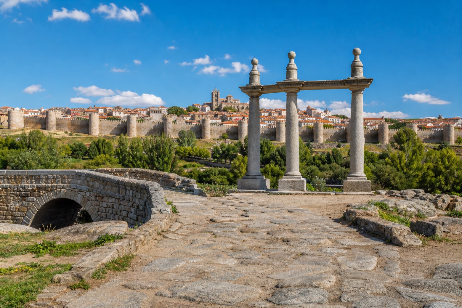
Leaving Ávila through the Puerta del Puente over the Adaja river, the route passes the Cuatro Postes viewpoint over the city walls, then a stretch of Roman road with its own small bridge. It passes close to the Iron Age hillfort of Las Cogotas near Cardeñosa and the villages of Narrillos de San Leonardo and Peñalba de Ávila, across farmland of cereals and sunflowers. The stage ends at Gotarrendura, where the Palomar de Santa Teresa marks the place long said to be the birthplace of Saint Teresa.
View all stages of Camino del Levante
Take your walk with you: download Appy
Camino del Levante: Ávila → Gotarrendura. Explore maps, stages and elevation in the app, and plan your train or bus journey.