Toro → Zamora
Walking distance 36.7 km
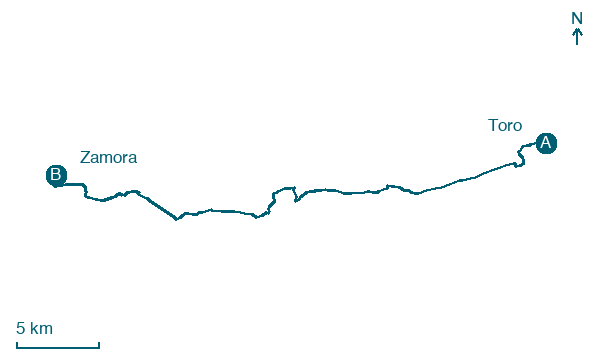
Download Appy for the stage map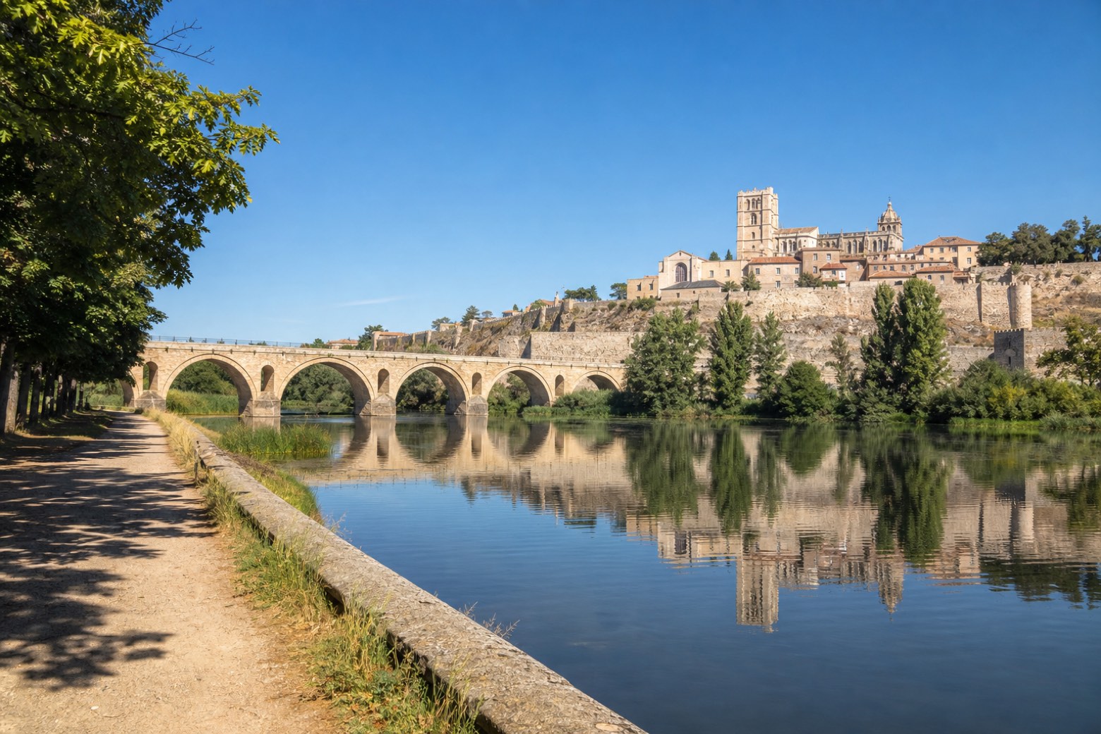
Stage information
- Ascent
- 66 m
- Descent
- 129 m
Difficulty: challenging
Walking the stage
From Toro the walk follows the Duero river closely, along the Canal de San José, passing under the A-66, the N-630 and the rail line, through Villalazán, where the church of San Blas keeps columns from the dissolved Jerónimos monastery of Zamora. It continues through Madridanos, at the church of San Esteban, and Villaralbo, at the church of Nuestra Señora de la Asunción. The stage ends at Zamora, crossing the Roman bridge over the Duero below the twelfth century cathedral and the medieval walls.
On arrival in Zamora, consider a stop at Palacio del Cordón, close to the finish.
Look for these places on the stage map: Peleagonzalo, Granja Florencia, Madridanos, and Villaralbo.
What to see on this stage
History and landmarks
Palacio del Cordón
Palace · < 100 m from the trail as the crow flies
Palace, in Zamora, Spain, designated as bien de interés cultural.
Puente de Piedra
Bridge · < 100 m from the trail as the crow flies
Bridge, in Zamora, Spain, 280.0 km long, built in stone.
Map · Toro → Zamora
Take your walk with you: download Appy
Camino del Levante: Toro → Zamora. Explore maps, stages and elevation in the app, and plan your train or bus journey.

