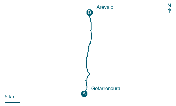
Gotarrendura → Arévalo
Walking distance 28.4 km
Download Appy for the stage map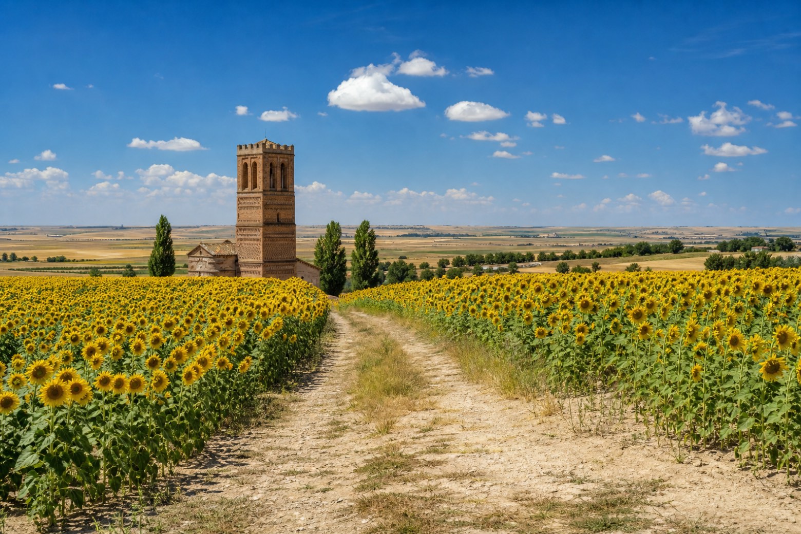
Stage information
- Ascent
- 6 m
- Descent
- 73 m
Difficulty: moderate
Walking the stage
From Gotarrendura, near the church of San Miguel Arcángel, the path follows an old livestock trail to Hernansancho and Villanueva de Gómez, which once kept a hospital for travelers and the remains of the church of Santa María la Mayor after a fire. It continues through El Bohodón and Tiñosillos, both with Mudéjar brick churches, across sunflower fields and pine forest. The stage ends at Arévalo, between the Adaja and Arevalillo rivers, a town known for its six Mudéjar churches.
On arrival in Arévalo, consider a stop at Conjunto Histórico de Arévalo, close to the finish.
Look for these places on the stage map: Hernansancho, Villanueva de Gómez, El Bohodón, and Tiñosillos.
What to see on this stage
History and landmarks
Conjunto Histórico de Arévalo
200 m from the trail as the crow flies
Monument, in Arévalo, Spain, designated as cultural heritage.
Arévalo History Museum
Museum · 300 m from the trail as the crow flies
21st-century museum, in Arévalo, Spain.
Map · Gotarrendura → Arévalo
Take your walk with you: download Appy
Camino del Levante: Gotarrendura → Arévalo. Explore maps, stages and elevation in the app, and plan your train or bus journey.

