València → Algemesí
Walking distance 40.2 km
Download Appy for the stage map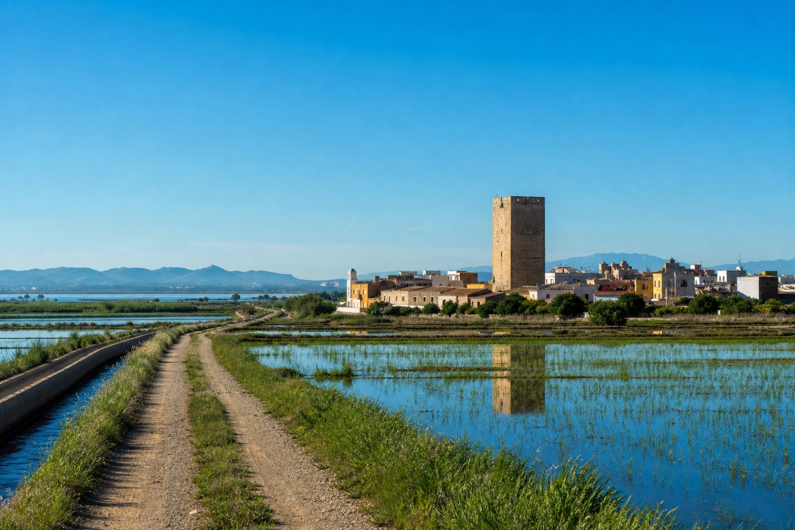
Stage information
- Ascent
- 33 m
- Descent
- 37 m
Difficulty: challenging
Walking the stage
The route leaves València near the Cathedral's Apostles Gate and the Miguelete bell tower, passing the churches of Santa Catalina and San Martín on streets marked with bronze scallop shells. It crosses the agricultural plain south of the city through Alfafar, Massanassa, Catarroja, Silla and Almussafes, towns that still keep old Arab watchtowers, with rice fields near the Albufera wetland along the way. The stage ends at Algemesí, at the basilica dedicated to Saint James the Apostle.
Before leaving València, locate Casa Vestuario on the map. It is close to the starting point.
Look for these places on the stage map: la Torre, Catarroja, el Romaní, and la Muntanyeta.
What to see on this stage
History and landmarks
Catedral de Santa María de València
Cathedral · < 100 m from the trail as the crow flies
Valencian Gothic cathedral consecrated in 1238 over a mosque, itself built on the old Visigothic cathedral. Its bell tower, the Micalet, has 206 steps up to a view of the city, and a chapel holds a chalice many believe to be the Holy Grail.
Casa Vestuario
< 100 m from the trail as the crow flies
18th-century monument in Neoclassical style, in Ciutat Vella, Spain, designated as bien de interés cultural.
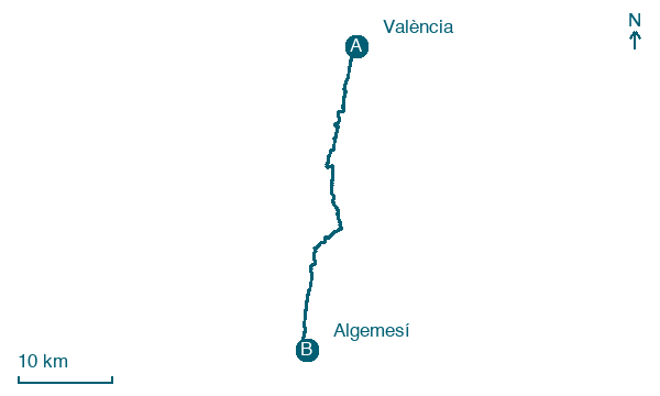
Map · València → Algemesí
Take your walk with you: download Appy
Camino del Levante: València → Algemesí. Explore maps, stages and elevation in the app, and plan your train or bus journey.

