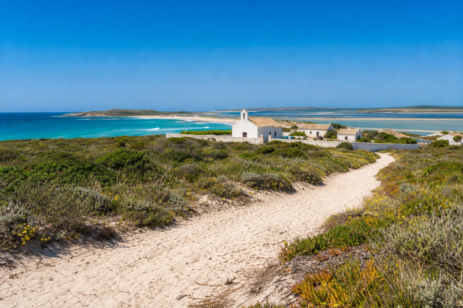
La Via dei Santuari
Sardegna, Italy
Italy · San Salvatore di Sinis, Italy → Santa Teresa Gallura, Italy
Distance
424 km
Stages
22
Difficulty
moderate
Best months
Mar-Jun, Sep-Nov
About
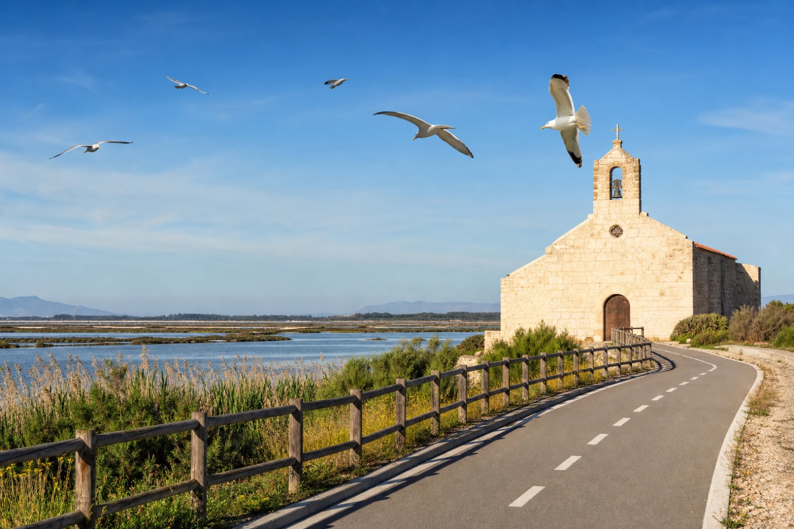
La Via dei Santuari links the novenari, Sardinia's country sanctuaries where a community lives together for nine days each year and closes the retreat with a feast. In about 420 km and 22 tappe it runs from the novenario of San Salvatore di Sinis to the Buoncammino novenario of Santa Teresa Gallura, the island's northernmost sanctuary.
Stages
22 stages
- Stage 1Distance18 kmAscent86 mDescent81 m
 Stage 2Distance16 kmAscent57 mDescent64 m
 Stage 3
Is Arenas → Seneghe
moderateDistance23 kmAscent544 mDescent241 m Stage 4
Seneghe → Paulilatino
moderateDistance17 kmAscent112 mDescent199 m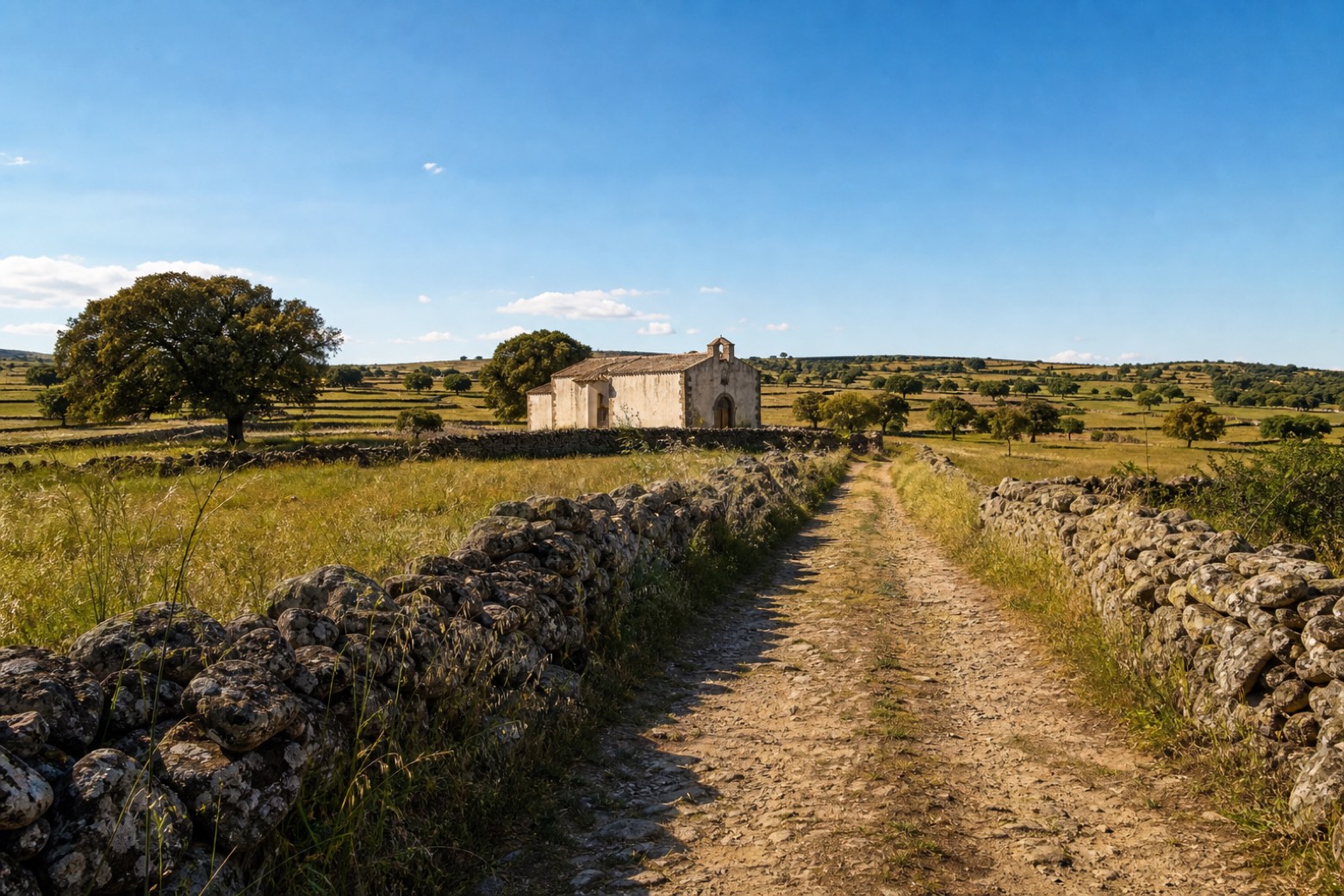 Stage 5Distance16 kmAscent105 mDescent75 m
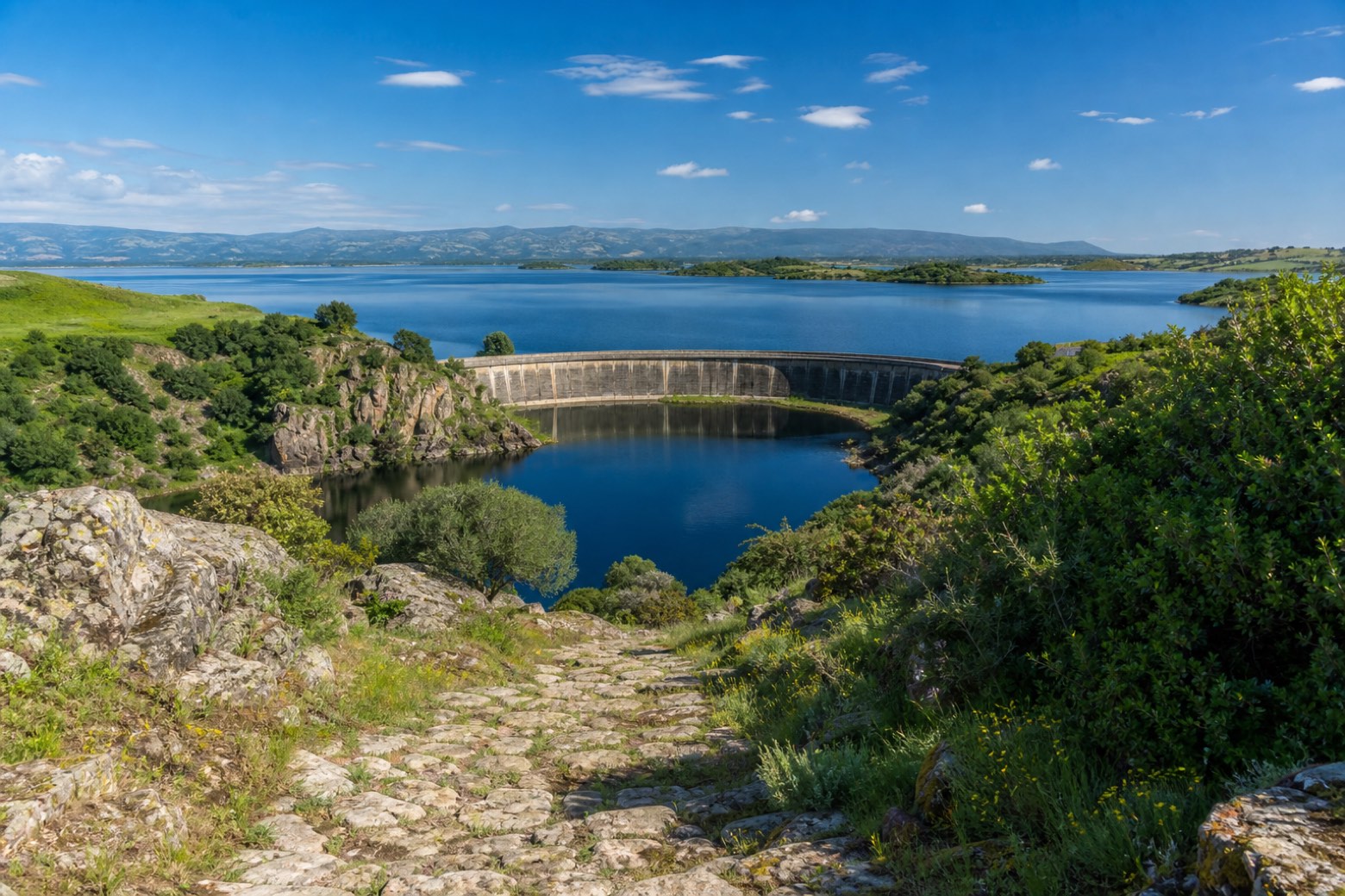 Stage 6Distance13 kmAscent252 mDescent155 m
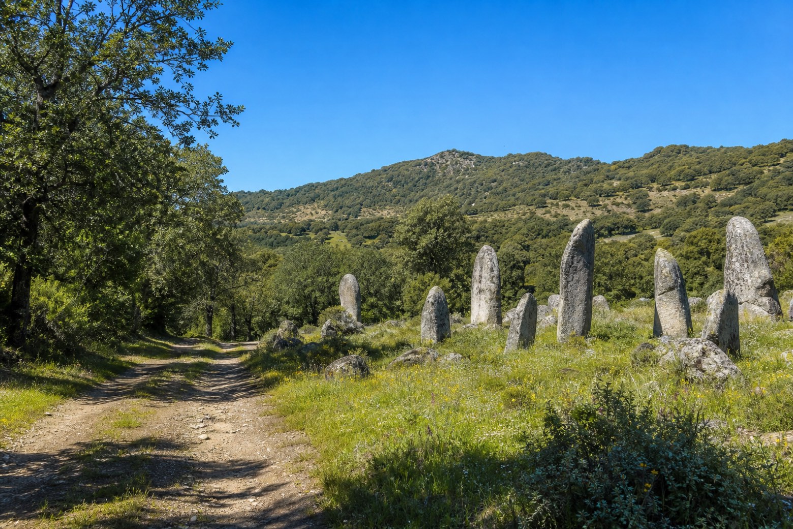 Stage 7
Busachi → Sorgono
challengingDistance26 kmAscent422 mDescent288 m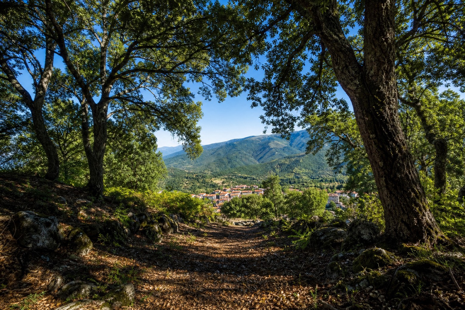 Stage 8
Sorgono → Tiana
moderateDistance18 kmAscent511 mDescent497 m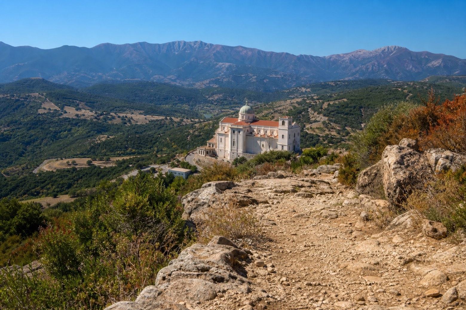 Stage 9
Tiana → Fonni
moderateDistance19 kmAscent998 mDescent366 m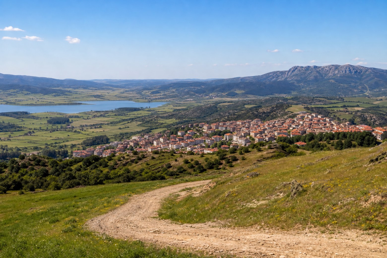 Stage 10
Fonni → Gavoi
easyDistance14 kmAscent137 mDescent503 m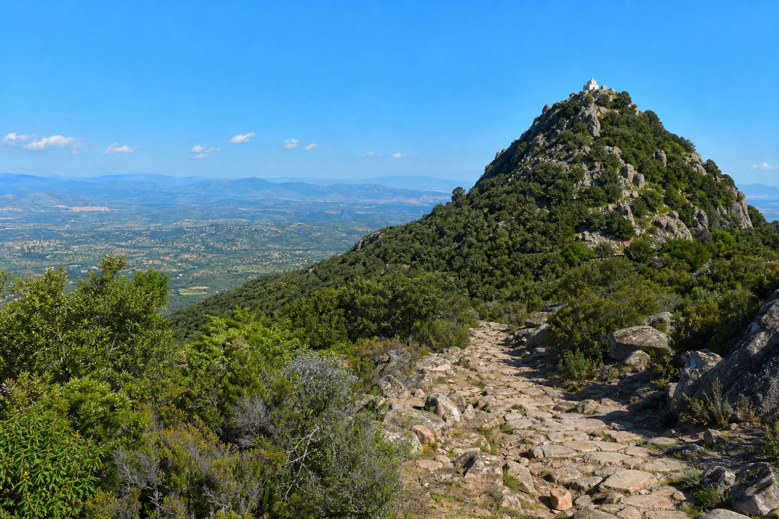 Stage 11
Gavoi → Monte Gonare
moderateDistance17 kmAscent436 mDescent328 m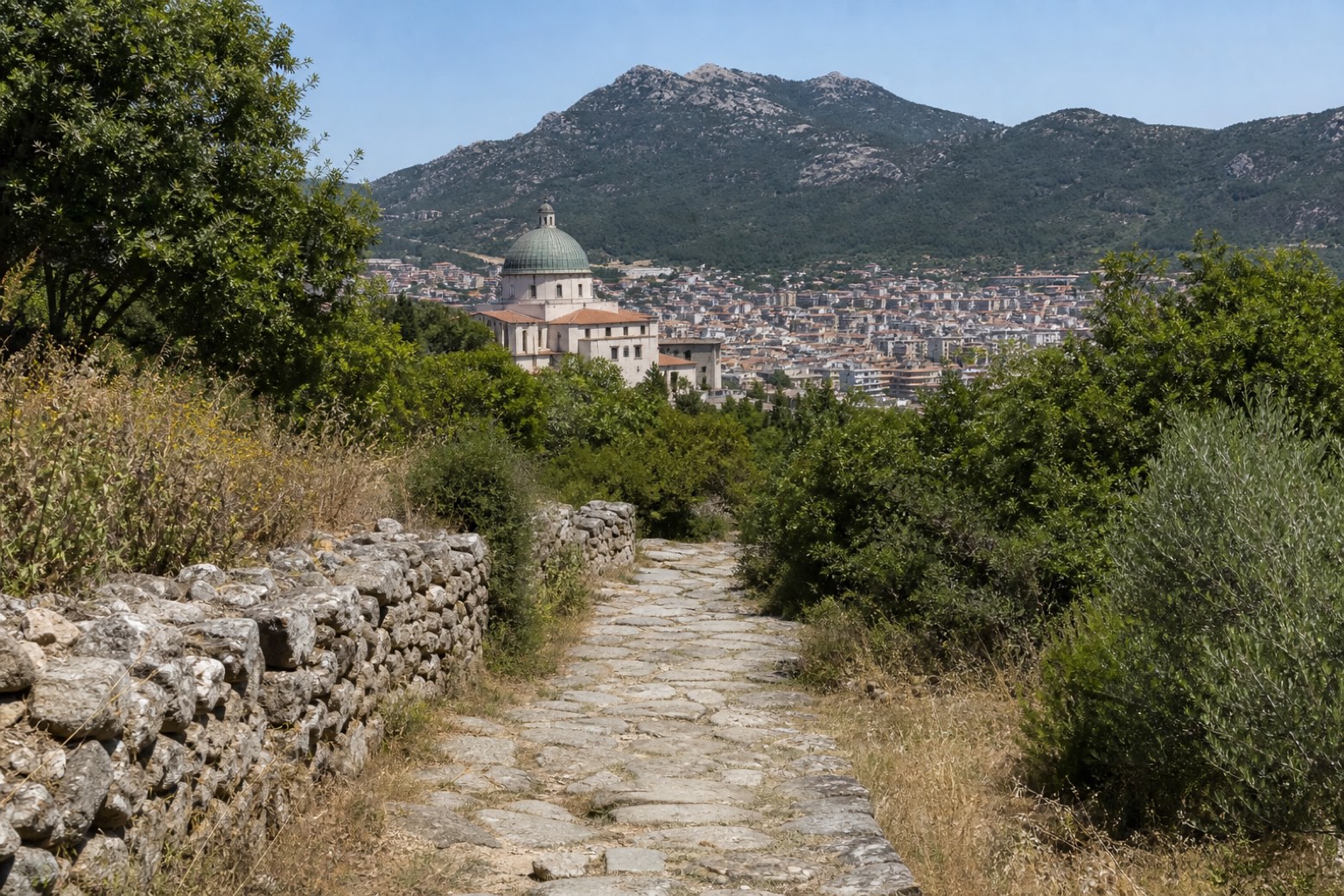 Stage 12
Monte Gonare → Nuoro
moderateDistance20 kmAscent133 mDescent582 m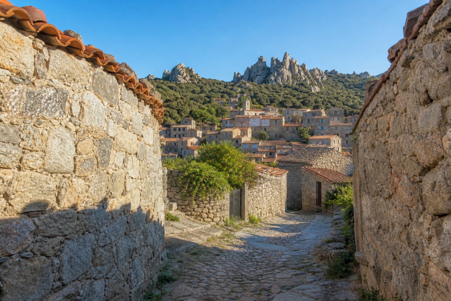 Stage 13
Nuoro → Orune
moderateDistance21 kmAscent644 mDescent419 m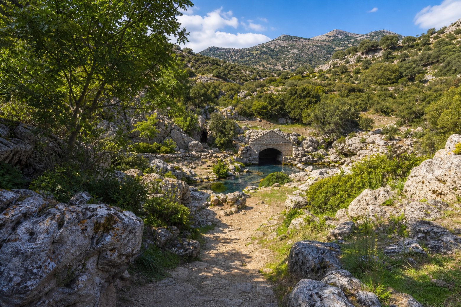 Stage 14
Orune → Lula
moderateDistance21 kmAscent499 mDescent719 m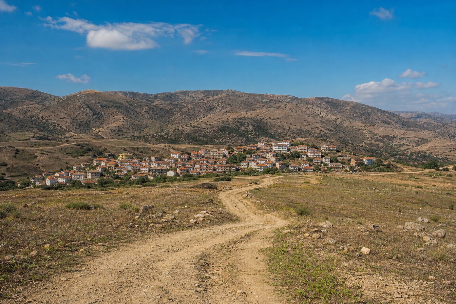 Stage 15
Lula → Bitti
moderateDistance25 kmAscent338 mDescent622 m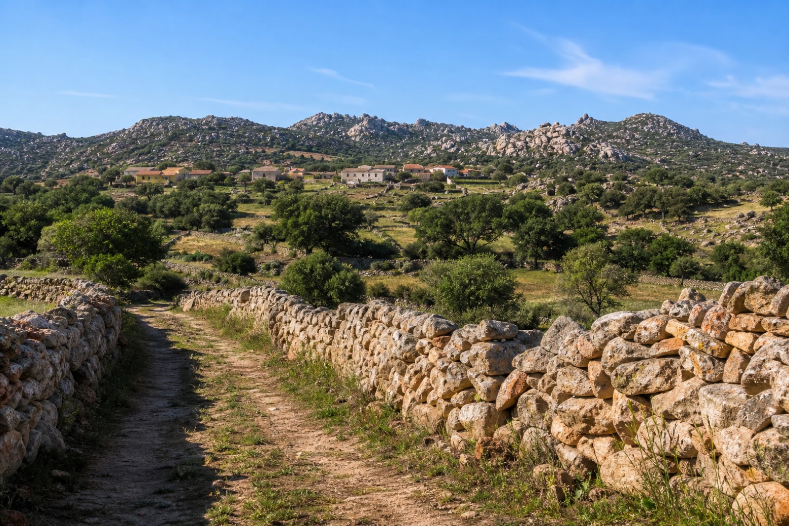 Stage 16
Bitti → Padru
moderateDistance20 kmAscent583 mDescent377 m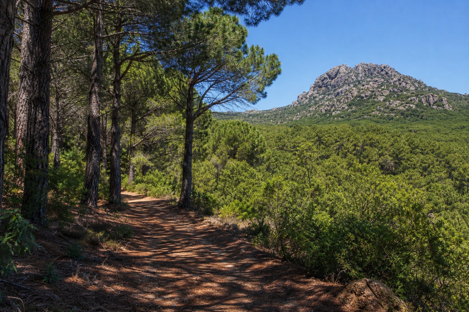 Stage 17
Padru → San Paolo
moderateDistance22 kmAscent270 mDescent390 m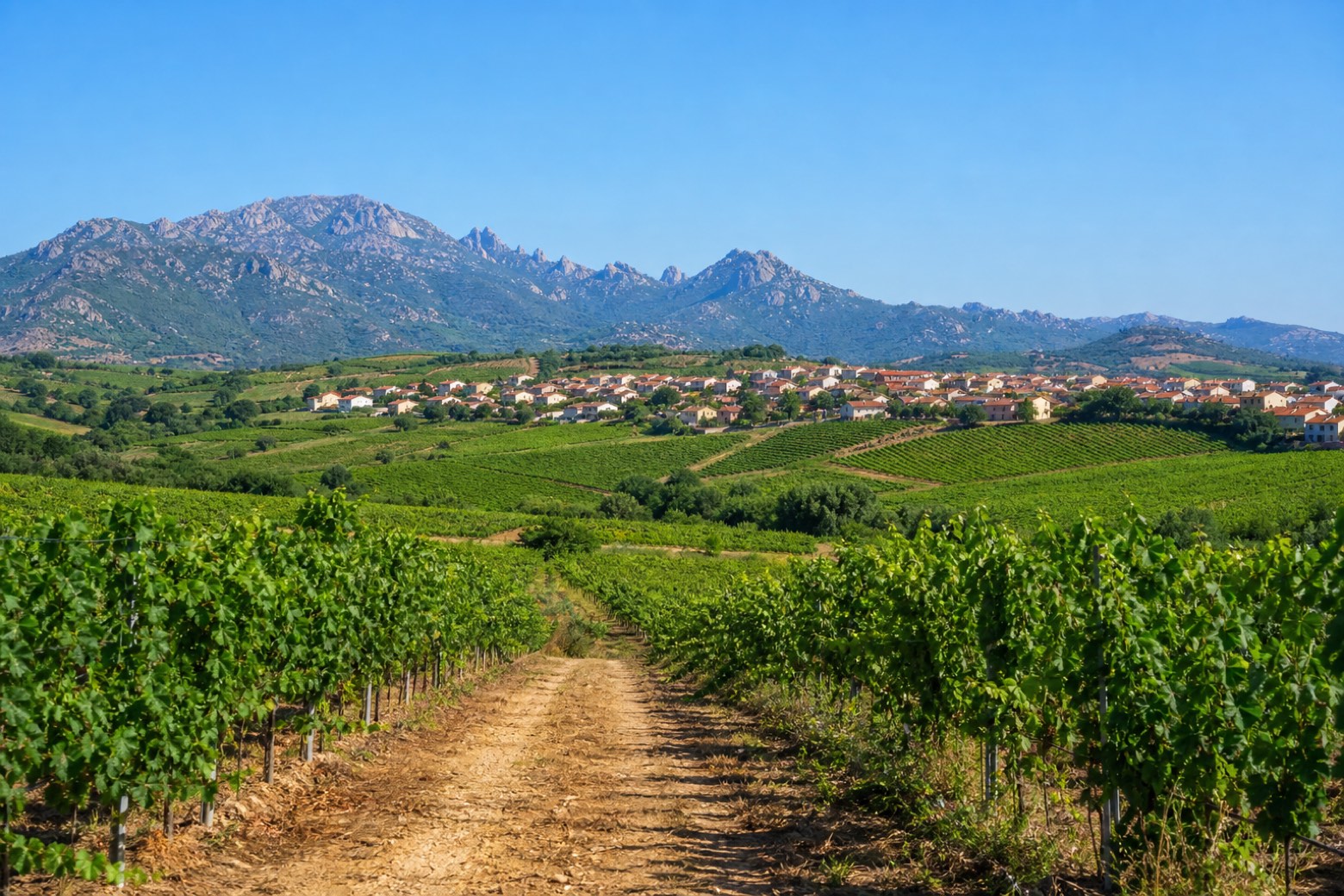 Stage 18Distance14 kmAscent236 mDescent271 m
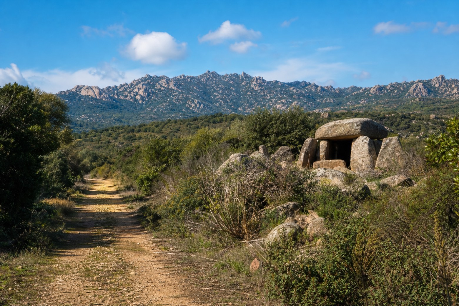 Stage 19
Monti → Calangianus
challengingDistance28 kmAscent351 mDescent150 m Stage 20
Calangianus → Luogosanto
challengingDistance27 kmAscent485 mDescent639 m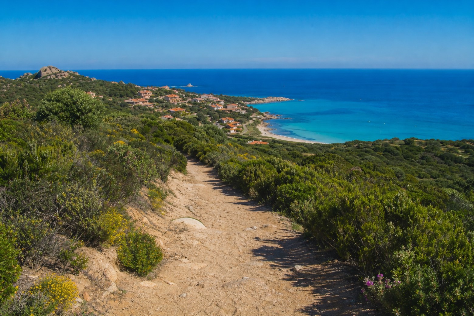 Stage 21
Luogosanto → Rena Majore
moderateDistance19 kmAscent195 mDescent433 m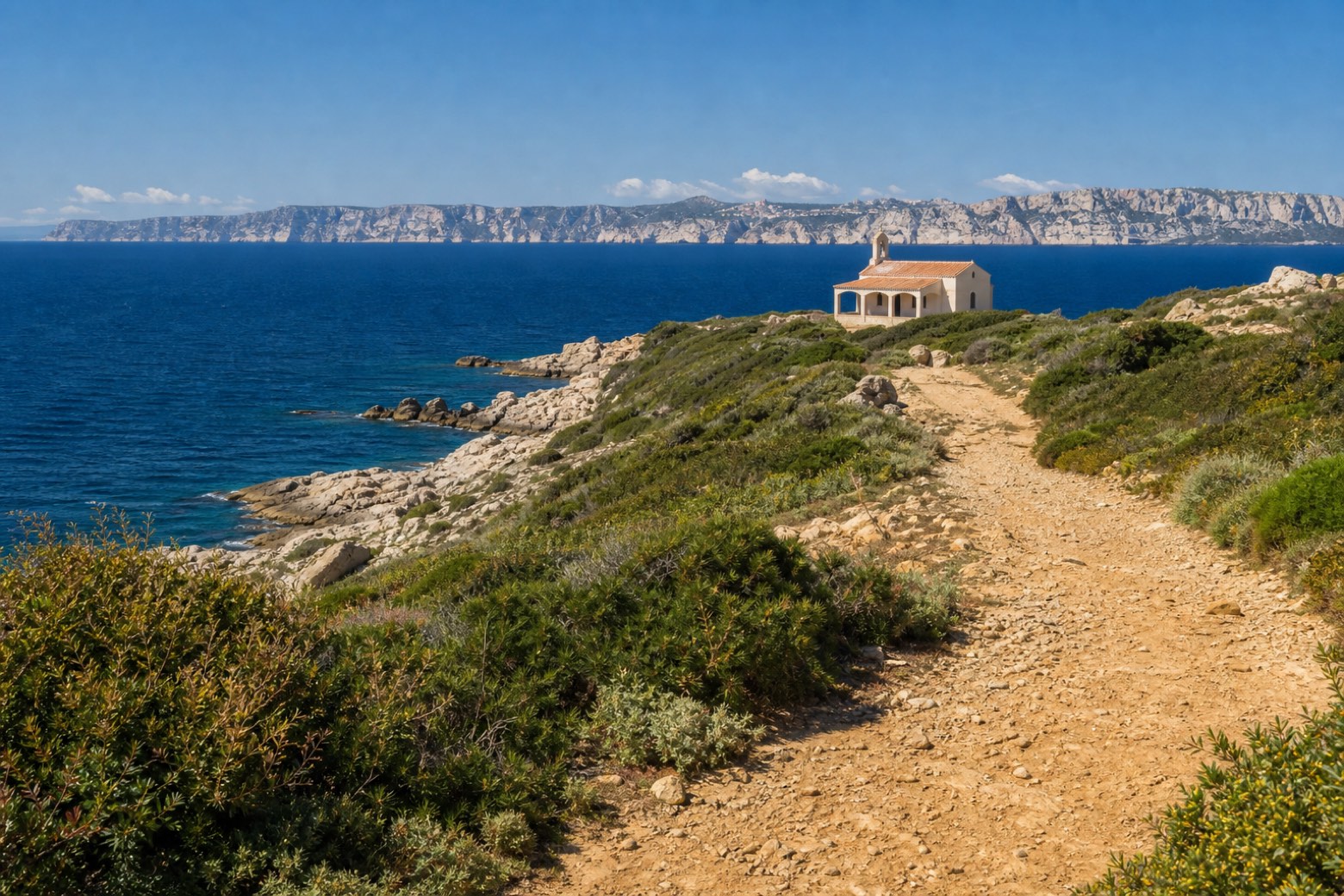 Stage 22Distance11 kmAscent36 mDescent85 m
Travel
Find connections for your cammino.
Search trainsMore walks in Italy

Plan your walking trip
How to choose a walking route: stages, days and ascent
Choose a walking route by comparing daily stages, available days, ascent and transport links. Practical planning with examples from the Appy catalogue.
How to plan a walking trip by train and bus
Plan travel to and from your walk: stage endpoints, stations, stops and the connection to the trail. A practical guide to routes and transport with Appy.
Take your walk with you: download Appy
La Via dei Santuari. Explore maps, stages and elevation in the app, and plan your train or bus journey.