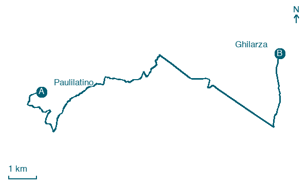
Paulilatino → Ghilarza
Walking distance 16.1 km
Download Appy for the stage map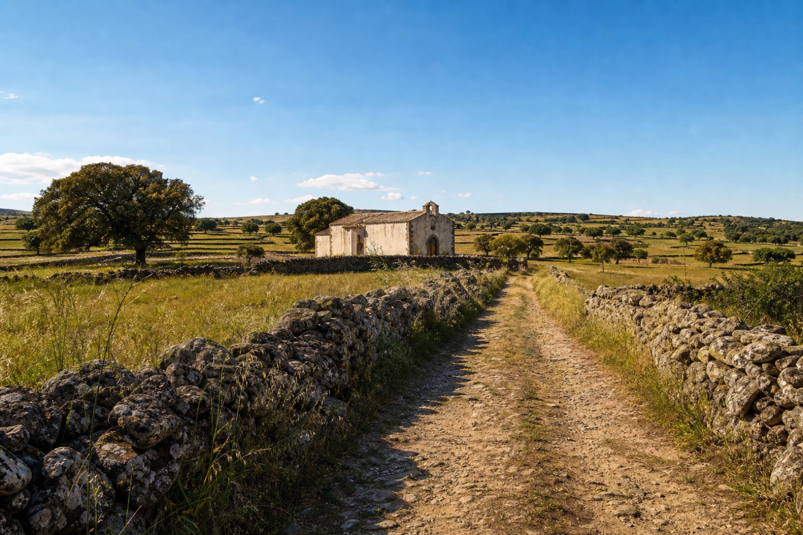
Stage information
- Ascent
- 105 m
- Descent
- 75 m
Difficulty: easy
Walking the stage
A dirt farm road continues across the Abbasanta plateau, between dry-stone walls and cork oaks scattered with nuraghi and old rural churches, to the novenario church of Santa Maria di Trempu on the edge of Ghilarza. The plateau here is rich in archaeology, and the walking stays gentle all day.
Before leaving Paulilatino, locate Lentisco di Boe Fenu, Paulilatino on the map. It is close to the starting point.
What to see on this stage
Nature and landscape
Lentisco di Boe Fenu, Paulilatino
Monumental tree · < 100 m from the trail as the crow flies
Italy’s monumental tree register identifies this specimen as Pistacia lentiscus L. It records a height of 7.8 m and a trunk circumference of 335 cm.
Olivastro di Melaghe, Paulilatino
Monumental tree · 700 m from the trail as the crow flies
Italy’s monumental tree register identifies this specimen as Olea europaea subsp. oleaster (Hoffmanns. & Link). It records a height of 9.5 m and a trunk circumference of 575 cm.
Map · Paulilatino → Ghilarza
Take your walk with you: download Appy
La Via dei Santuari: Paulilatino → Ghilarza. Explore maps, stages and elevation in the app, and plan your train or bus journey.

