Bitti → Padru
Walking distance 19.9 km
Download Appy for the stage map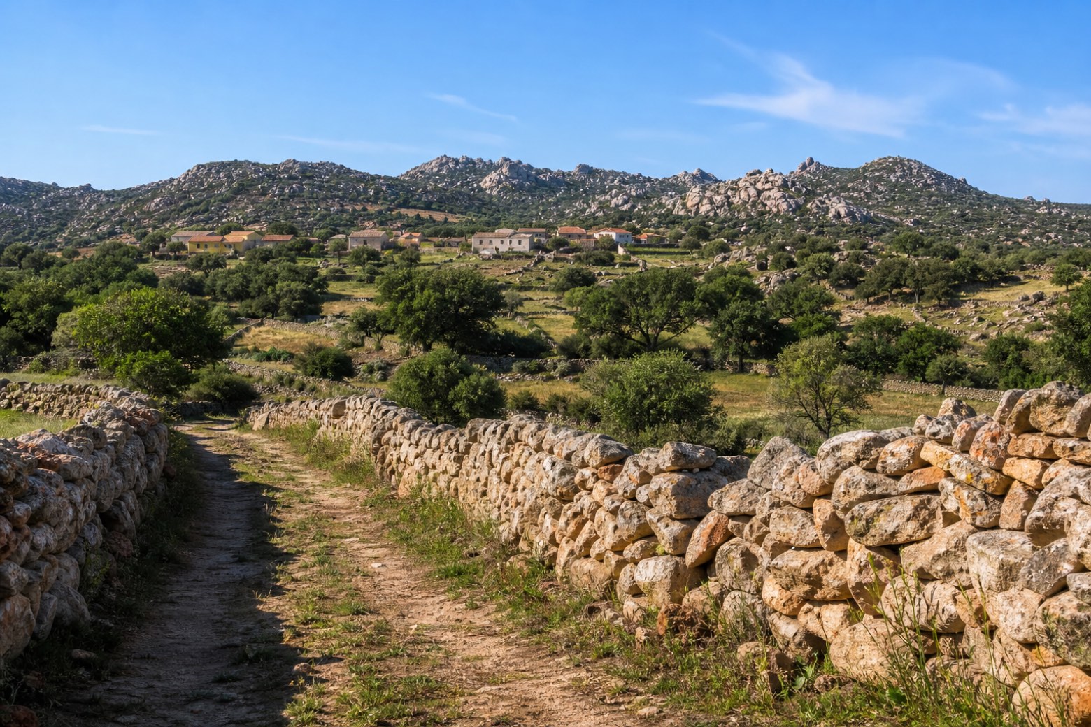
Stage information
- Ascent
- 583 m
- Descent
- 377 m
Difficulty: moderate
Walking the stage
A farm track runs between dry-stone walls through oak woods and granite outcrops of Gallura, to the small novenario of Sant'Elias at the hamlet of Sa Serra, near Padru. The stone walls and scattered granite boulders mark the start of Gallura's landscape.
Before leaving Bitti, locate Santuario di S'Annossata on the map. It is close to the starting point. On arrival in Padru, consider a stop at Chiesa di Sant'Elia, close to the finish.
Look for these places on the stage map: Ludurru.
What to see on this stage
History and landmarks
Chiesa di Sant'Elia
Church · < 100 m from the trail as the crow flies
Santuario di S'Annossata
< 100 m from the trail as the crow flies
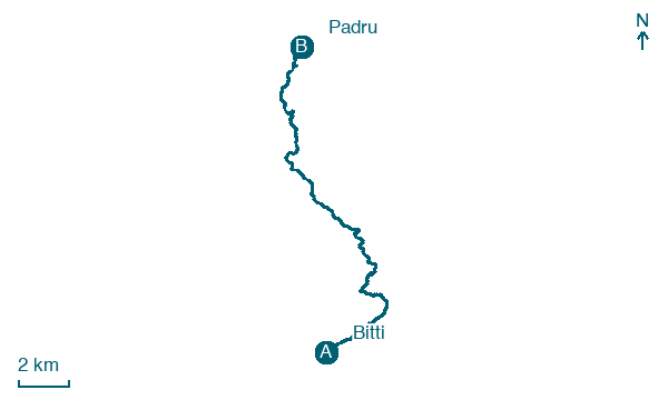
Map · Bitti → Padru
Take your walk with you: download Appy
La Via dei Santuari: Bitti → Padru. Explore maps, stages and elevation in the app, and plan your train or bus journey.

