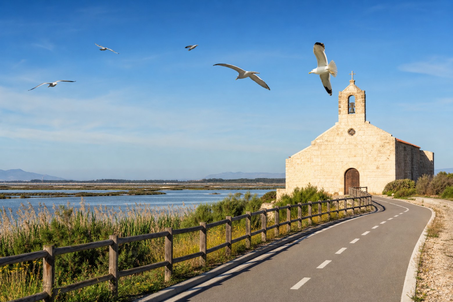
Cammino di Santu Jacu
Sardegna, Italy
Italy · Cagliari, Italy → Porto Torres, Italy
Distance
485 km
Stages
24
Difficulty
challenging
Best months
Year-round
Cammino di Santu Jacu · Stages and distances
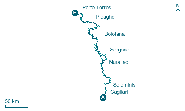
Walking distances for Appy’s stages (24)
| Stage | km |
|---|---|
| 1. Cagliari → Soleminis | 26.1 |
| 2. Soleminis → Sant'Andrea Frius | 19.2 |
| 3. Sant'Andrea Frius → Silius | 17.8 |
| 4. Silius → Goni | 16.7 |
| 5. Goni → Mandas | 22.4 |
| 6. Mandas → Nurallao | 21.8 |
| 7. Nurallao → Laconi | 10.6 |
| 8. Laconi → Meana Sardo | 21.4 |
| 9. Meana Sardo → Belvì | 19.4 |
| 10. Belvì → Tonara | 18.1 |
| 11. Tonara → Sorgono | 11.8 |
| 12. Sorgono → Agriturismo S'Argalasi | 14.8 |
| 13. Agriturismo S'Argalasi → Nughedu Santa Vittoria | 19.1 |
| 14. Nughedu Santa Vittoria → Sedilo | 29.1 |
| 15. Sedilo → Noragugume | 10.8 |
| 16. Noragugume → Bolotana | 17.1 |
| 17. Bolotana → Rebeccu | 29.7 |
| 18. Rebeccu → San Pietro di Sorres | 24.1 |
| 19. San Pietro di Sorres → Ittireddu | 20.1 |
| 20. Ittireddu → Ozieri | 13.7 |
| 21. Ozieri → Ploaghe | 32.1 |
| 22. Ploaghe → Sassari | 32.3 |
| 23. Sassari → Sorso | 11.6 |
| 24. Sorso → Porto Torres | 25.2 |
| Total | 485 |
About
The Cammino di Santu Jacu crosses Sardinia lengthwise on a central axis of about 480 km, from Cagliari on the south coast to Porto Torres, home to the Basilica di San Gavino, on the north coast. It follows the old devotion to San Giacomo Maggiore through the Campidano plain, the Trexenta hills and the mountains of the centre. The route is not yet entirely walkable throughout; the Region is normalising it in 2026.
Stages
24 stages
- Stage 1
Cagliari → Soleminis
moderate- Distance
- 26 km
- Ascent
- 214 m
- Descent
- 51 m
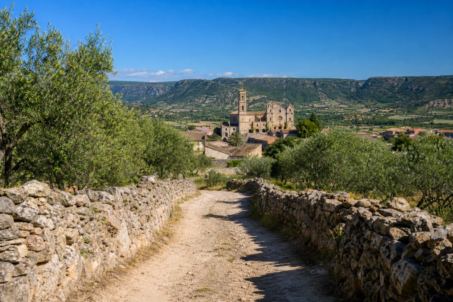 Stage 2
Soleminis → Sant'Andrea Frius
moderate- Distance
- 19 km
- Ascent
- 253 m
- Descent
- 172 m
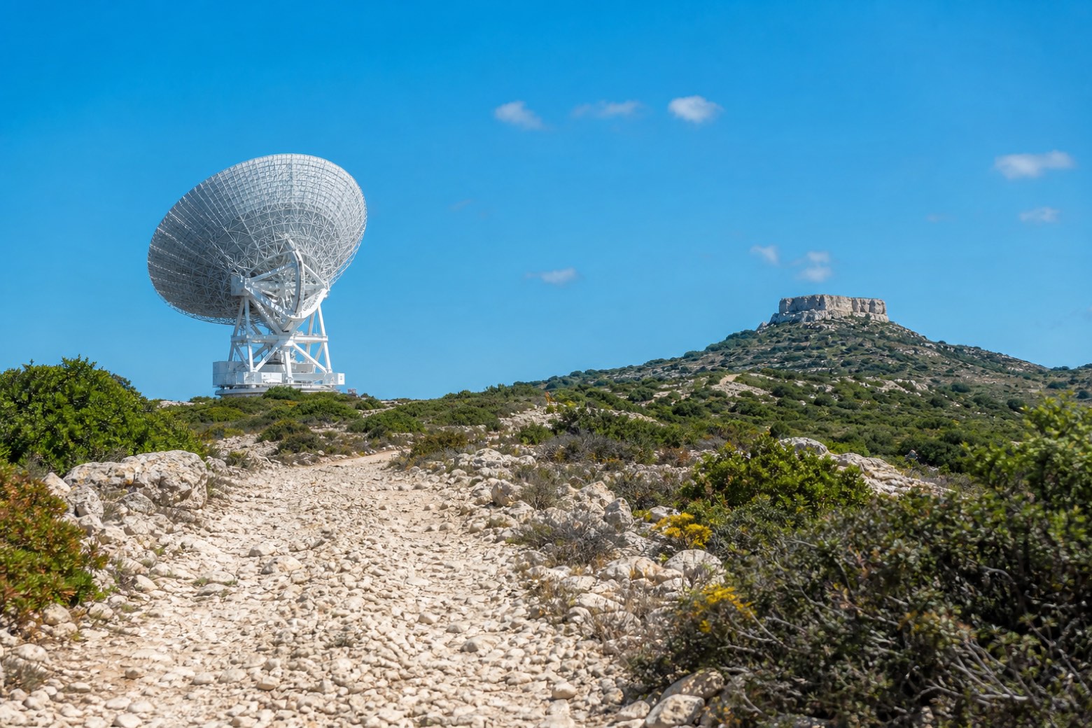 Stage 3
Sant'Andrea Frius → Silius
moderate- Distance
- 18 km
- Ascent
- 525 m
- Descent
- 213 m
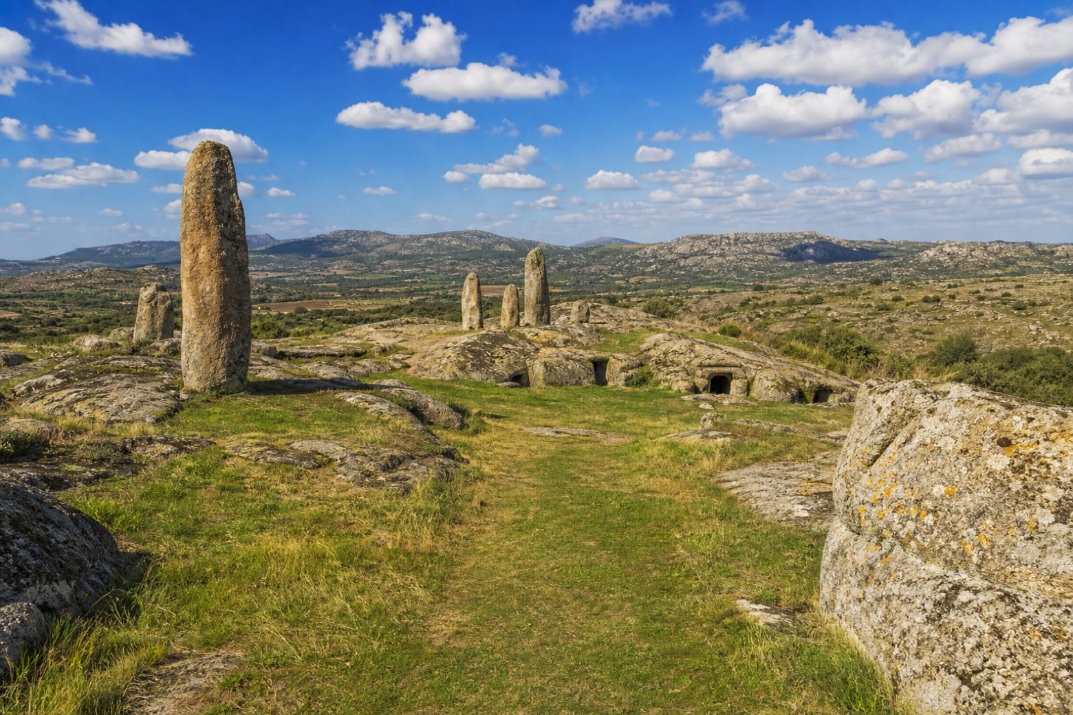 Stage 4
Silius → Goni
moderate- Distance
- 17 km
- Ascent
- 306 m
- Descent
- 510 m
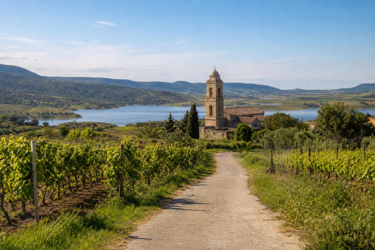 Stage 5
Goni → Mandas
moderate- Distance
- 22 km
- Ascent
- 502 m
- Descent
- 406 m
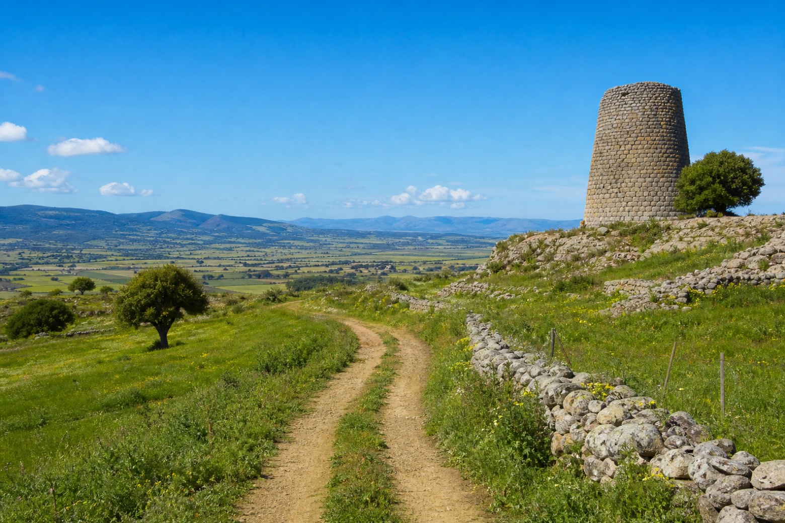 Stage 6
Mandas → Nurallao
moderate- Distance
- 22 km
- Ascent
- 311 m
- Descent
- 400 m
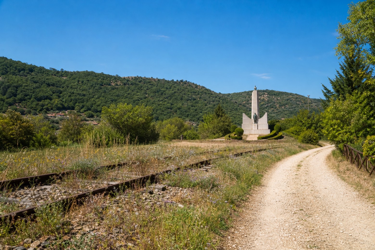 Stage 7
- Distance
- 11 km
- Ascent
- 244 m
- Descent
- 120 m
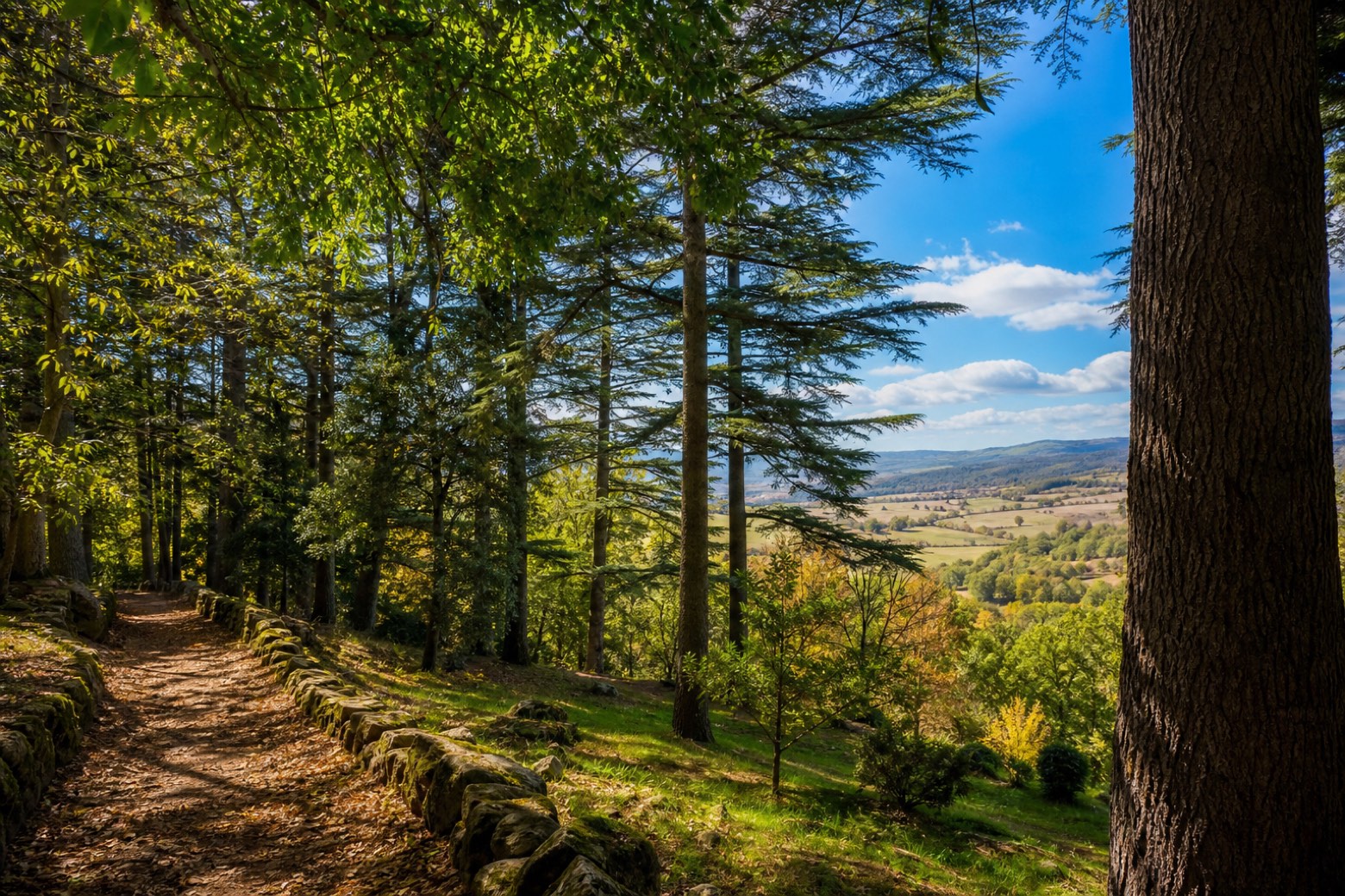 Stage 8
Laconi → Meana Sardo
moderate- Distance
- 21 km
- Ascent
- 469 m
- Descent
- 416 m
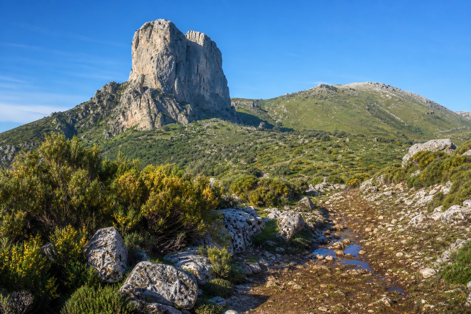 Stage 9
Meana Sardo → Belvì
moderate- Distance
- 19 km
- Ascent
- 503 m
- Descent
- 450 m
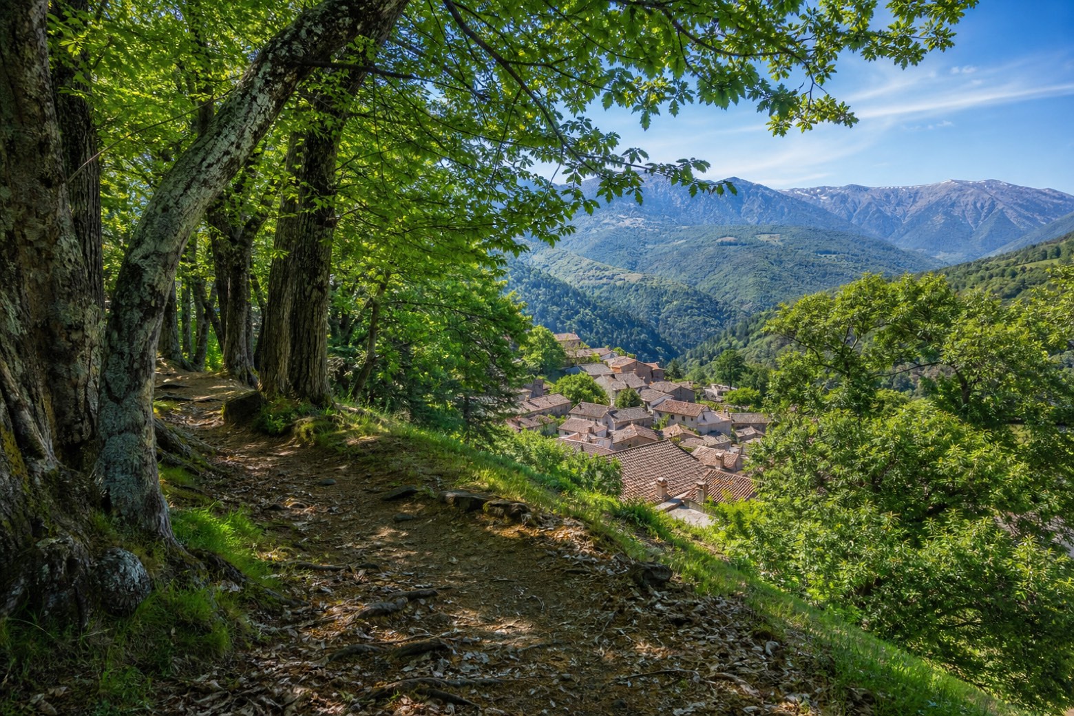 Stage 10
Belvì → Tonara
moderate- Distance
- 18 km
- Ascent
- 564 m
- Descent
- 327 m
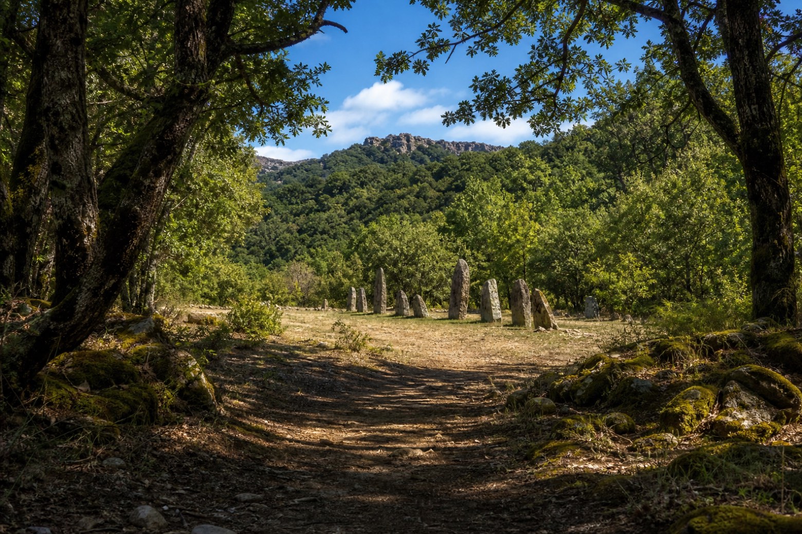 Stage 11
Tonara → Sorgono
easy- Distance
- 12 km
- Ascent
- 182 m
- Descent
- 395 m
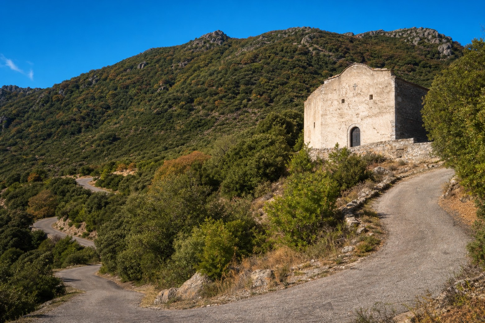 Stage 12
- Distance
- 15 km
- Ascent
- 141 m
- Descent
- 281 m
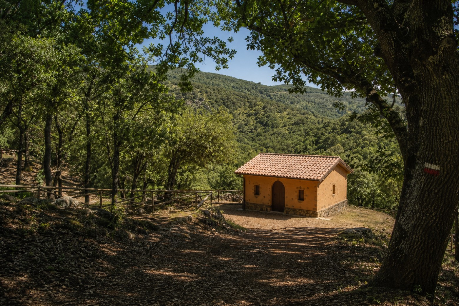 Stage 13
- Distance
- 19 km
- Ascent
- 321 m
- Descent
- 344 m
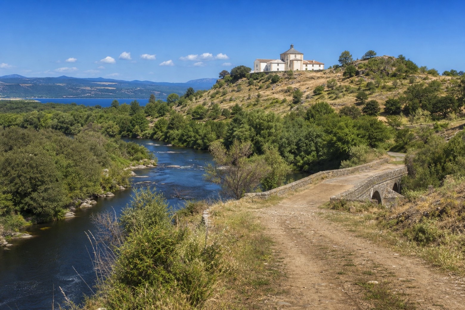 Stage 14
Nughedu Santa Vittoria → Sedilo
challenging- Distance
- 29 km
- Ascent
- 476 m
- Descent
- 727 m
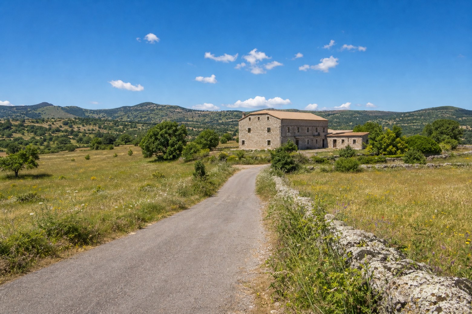 Stage 15
- Distance
- 11 km
- Ascent
- 128 m
- Descent
- 131 m
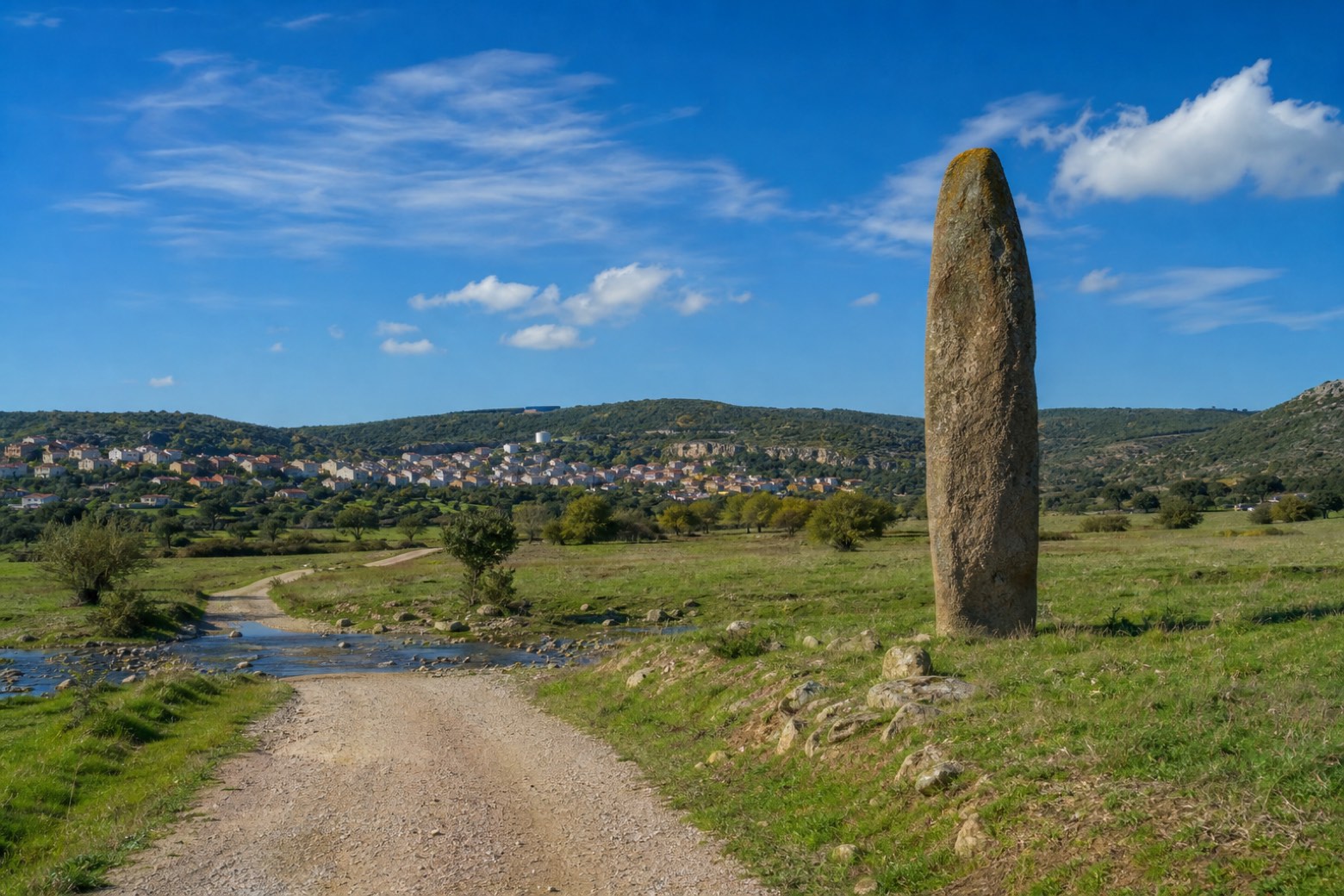 Stage 16
Noragugume → Bolotana
moderate- Distance
- 17 km
- Ascent
- 325 m
- Descent
- 145 m
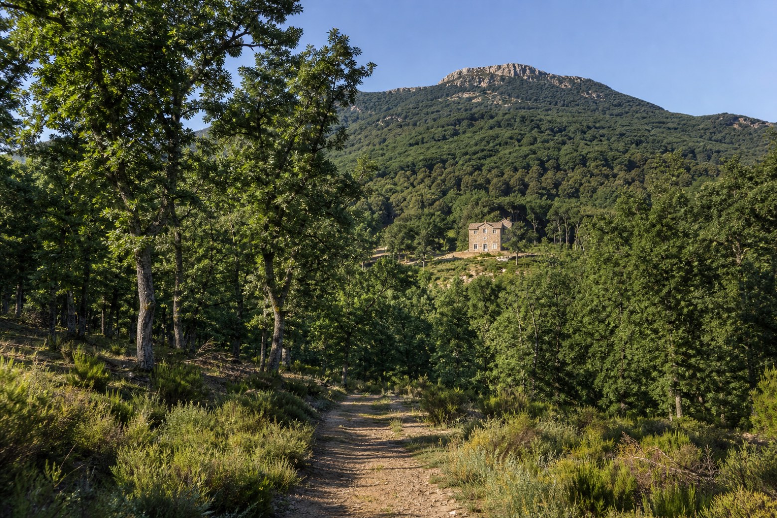 Stage 17
Bolotana → Rebeccu
challenging- Distance
- 30 km
- Ascent
- 734 m
- Descent
- 795 m
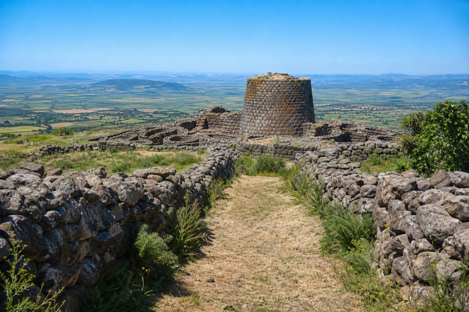 Stage 18
Rebeccu → San Pietro di Sorres
moderate- Distance
- 24 km
- Ascent
- 533 m
- Descent
- 411 m
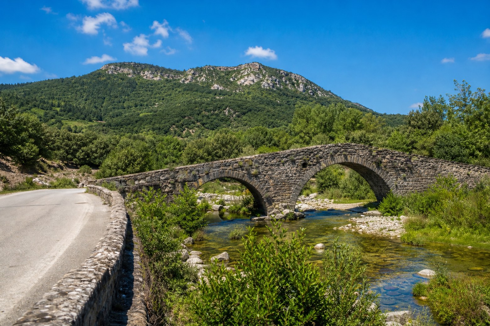 Stage 19
San Pietro di Sorres → Ittireddu
moderate- Distance
- 20 km
- Ascent
- 169 m
- Descent
- 354 m
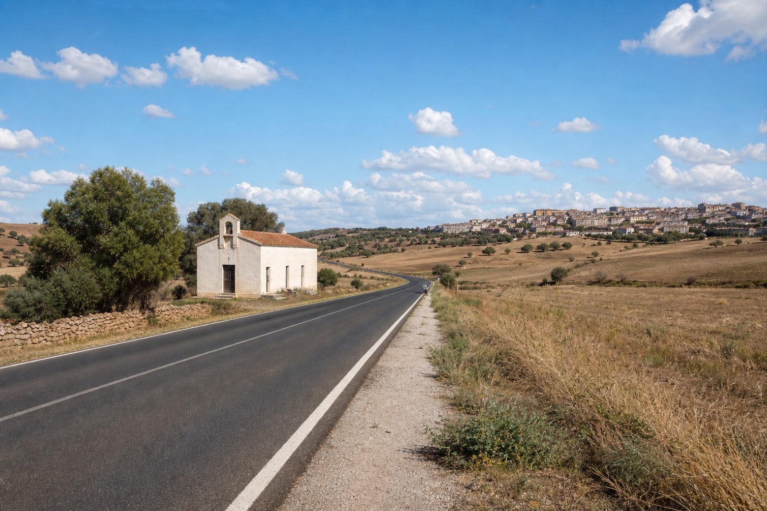 Stage 20
- Distance
- 14 km
- Ascent
- 327 m
- Descent
- 216 m
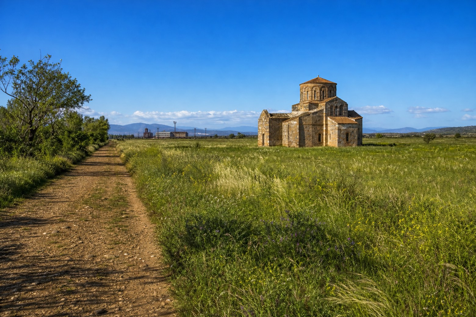 Stage 21
Ozieri → Ploaghe
challenging- Distance
- 32 km
- Ascent
- 267 m
- Descent
- 279 m
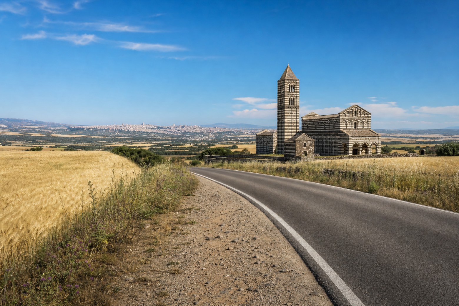 Stage 22
Ploaghe → Sassari
challenging- Distance
- 32 km
- Ascent
- 497 m
- Descent
- 697 m
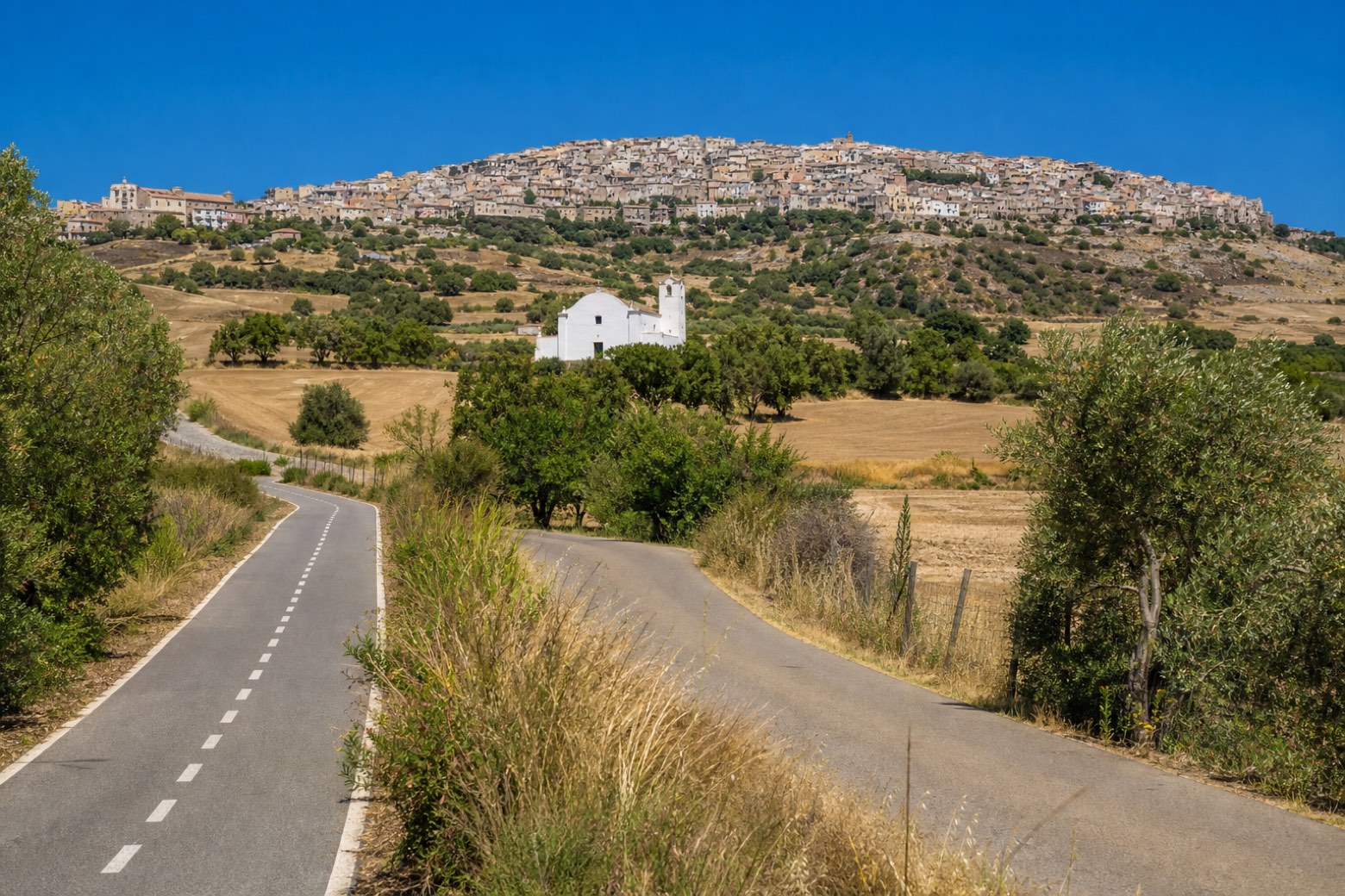 Stage 23
Sassari → Sorso
easy- Distance
- 12 km
- Ascent
- 205 m
- Descent
- 257 m
 Stage 24
Sorso → Porto Torres
moderate- Distance
- 25 km
- Ascent
- 75 m
- Descent
- 211 m
Points of interest
- Sulci
Historic center. Sulci or Sulki (in Greek Σολκοί, Steph.)
- Villa di Tigellio
Archaeological site, in Cagliari, Italy, designated as Italian national heritage, covering 500.0 km².
- Palazzo Civico
The town hall, built in a Catalan Gothic style with Liberty decoration in pale pietraforte stone.
- Torre dello Sperone
A square limestone tower from 1293, the only piece left of the walls the Pisans built in the 13th century.
- Torre dell'Aquila
Tower of the Eagle. Tower, in Cagliari, Italy.
- Torre della Quarta Regia
A small coastal tower, 8 to 9 metres high, built on an Aragonese settlement where the fishermen of the lagoon owed a quarter of their catch to the crown, hence the name.
- Torre aragonese nella collina di Bonaria
Aragonese Tower on the Hill of Bonaria. Tower, in Cagliari, Italy, designated as Italian national heritage.
- San Michele
17th-century church in baroque style, dedicated to Archangel Michael, in Cagliari, Italy, designated as Italian national heritage.
Travel
Find connections for your cammino.
Search trainsMore walks in Italy
Plan your walking trip
All articles and guidesHow to choose a walking route: stages, days and ascent
How many days can you actually spend walking? Start there, then choose stages that leave you time to stop along the way.
How to plan a walking trip by train and bus
Two different stations, a last bus and a backpack. Fit the journeys out and home around the days you want to spend walking.
Take your walk with you: download Appy
Cammino di Santu Jacu. Explore maps, stages and elevation in the app, and plan your train or bus journey.

