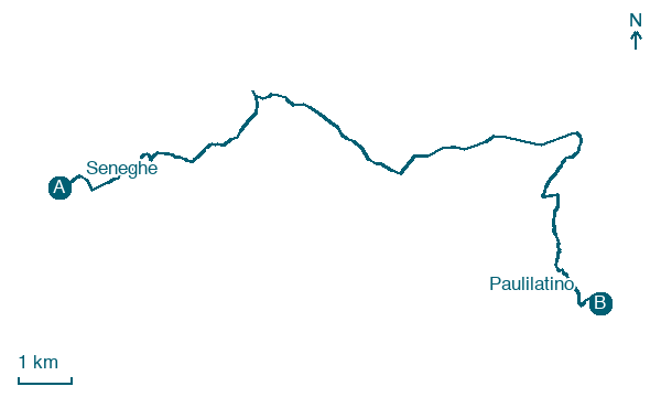
Seneghe → Paulilatino
Walking distance 17.1 km
Download Appy for the stage map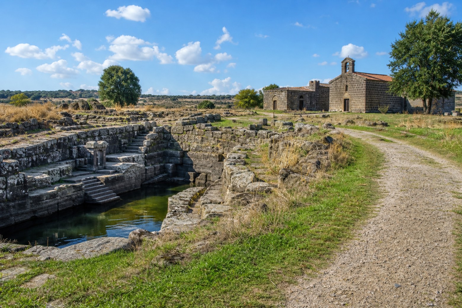
Stage information
- Ascent
- 112 m
- Descent
- 199 m
Difficulty: moderate
Walking the stage
A gravel farm track crosses the flat basalt plateau of Abbasanta, passing the sanctuary of Bonacattu at Bonarcado, to the nuragic well temple of Santa Cristina, where a stone stairway descends to the sacred water beside a small country church. The stage ends here, not in Paulilatino centre.
On arrival in Paulilatino, consider a stop at Olivastro di Melaghe, Paulilatino, close to the finish.
Look for these places on the stage map: Bonàrcadu/Bonarcado.
What to see on this stage
Nature and landscape
Olivastro di Pischina Ruia, Paulilatino
Monumental tree · < 100 m from the trail as the crow flies
Italy’s monumental tree register identifies this specimen as Olea europaea subsp. oleaster (Hoffmanns. & Link). It records a height of 10 m and a trunk circumference of 120 cm.
Olivastro di Melaghe, Paulilatino
Monumental tree · 200 m from the trail as the crow flies
Italy’s monumental tree register identifies this specimen as Olea europaea subsp. oleaster (Hoffmanns. & Link). It records a height of 9.5 m and a trunk circumference of 575 cm.
Map · Seneghe → Paulilatino
Take your walk with you: download Appy
La Via dei Santuari: Seneghe → Paulilatino. Explore maps, stages and elevation in the app, and plan your train or bus journey.

