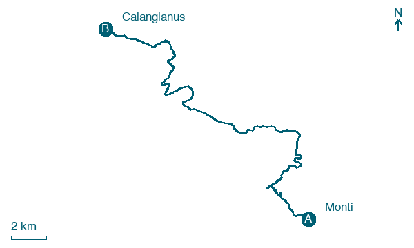
Monti → Calangianus
Walking distance 27.9 km
Download Appy for the stage map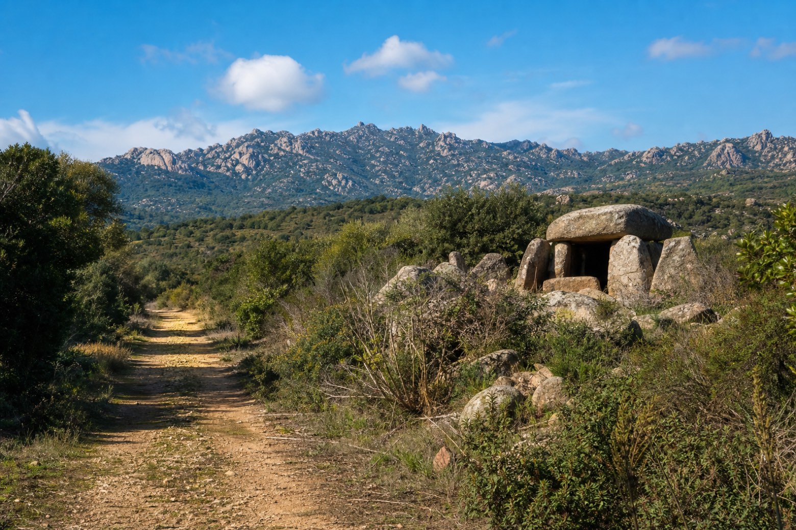
Stage information
- Ascent
- 351 m
- Descent
- 150 m
Difficulty: challenging
Walking the stage
The longest tappa on the route follows the bed of the disused Monti to Tempio railway and old dirt tracks behind the Limbara massif, past the church of San Salvatore di Nulvara and the giants' tomb of Pascaredda, into Calangianus. A full day.
On arrival in Calangianus, consider a stop at Nostra Signora delle Grazie, close to the finish.
Look for these places on the stage map: Stazione di Monti.
What to see on this stage
History and landmarks
Nostra Signora delle Grazie
200 m from the trail as the crow flies
Map · Monti → Calangianus
Take your walk with you: download Appy
La Via dei Santuari: Monti → Calangianus. Explore maps, stages and elevation in the app, and plan your train or bus journey.

