Tiana → Fonni
Walking distance 18.9 km
Download Appy for the stage map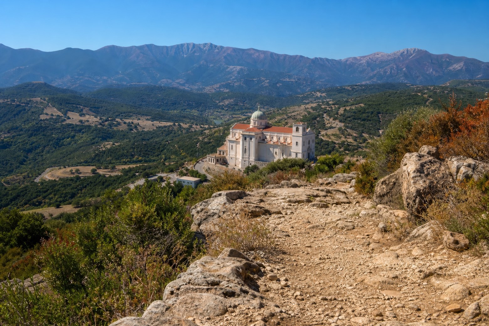
Stage information
- Ascent
- 998 m
- Descent
- 366 m
Difficulty: moderate
Walking the stage
The route's steepest climb leads up to the sanctuary of Santa Maria del Monte, with the Gennargentu ridge rising 8 to 10 km to the south and views opening over Lake Govossai and the Pratobello plain. It descends to Fonni and the basilica of Nostra Sennora de sos Martires.
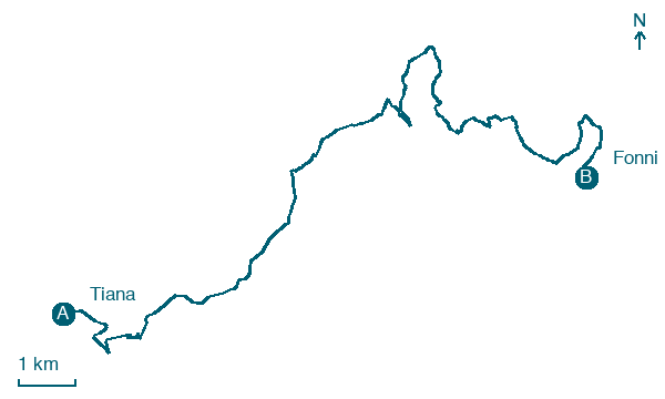
Map · Tiana → Fonni
Take your walk with you: download Appy
La Via dei Santuari: Tiana → Fonni. Explore maps, stages and elevation in the app, and plan your train or bus journey.

