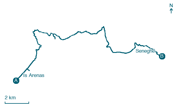
Is Arenas → Seneghe
Walking distance 22.5 km
Download Appy for the stage map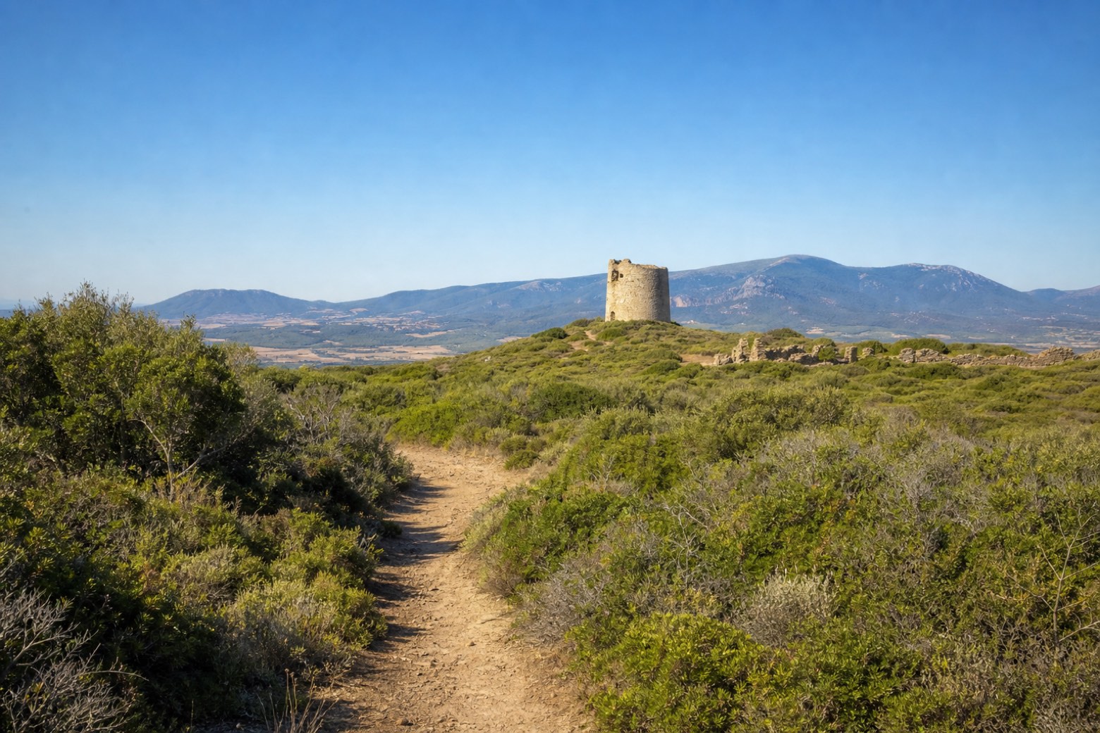
Stage information
- Ascent
- 544 m
- Descent
- 241 m
Difficulty: moderate
Walking the stage
The day passes the Spanish coastal tower of Torre del Pozzo and the paleochristian ruins by ancient Cornus, then a little-known dirt path through maquis toward the Montiferru volcanic massif, visible about 10 km to the east. It ends at Seneghe, built of local trachyte stone.
Look for these places on the stage map: Torre del Pozzo, S'Archittu, and Santa Caterina di Pittinuri.
What to see on this stage
Nature and landscape
Olivastro di S'Adde Sa Pruna, Cuglieri
Monumental tree · 1,000 m from the trail as the crow flies
Italy’s monumental tree register identifies this specimen as Olea europaea subsp. oleaster (Hoffmanns. & Link). It records a height of 10 m and a trunk circumference of 760 cm.
Map · Is Arenas → Seneghe
Take your walk with you: download Appy
La Via dei Santuari: Is Arenas → Seneghe. Explore maps, stages and elevation in the app, and plan your train or bus journey.

