Padru → San Paolo
Walking distance 22.2 km
Download Appy for the stage map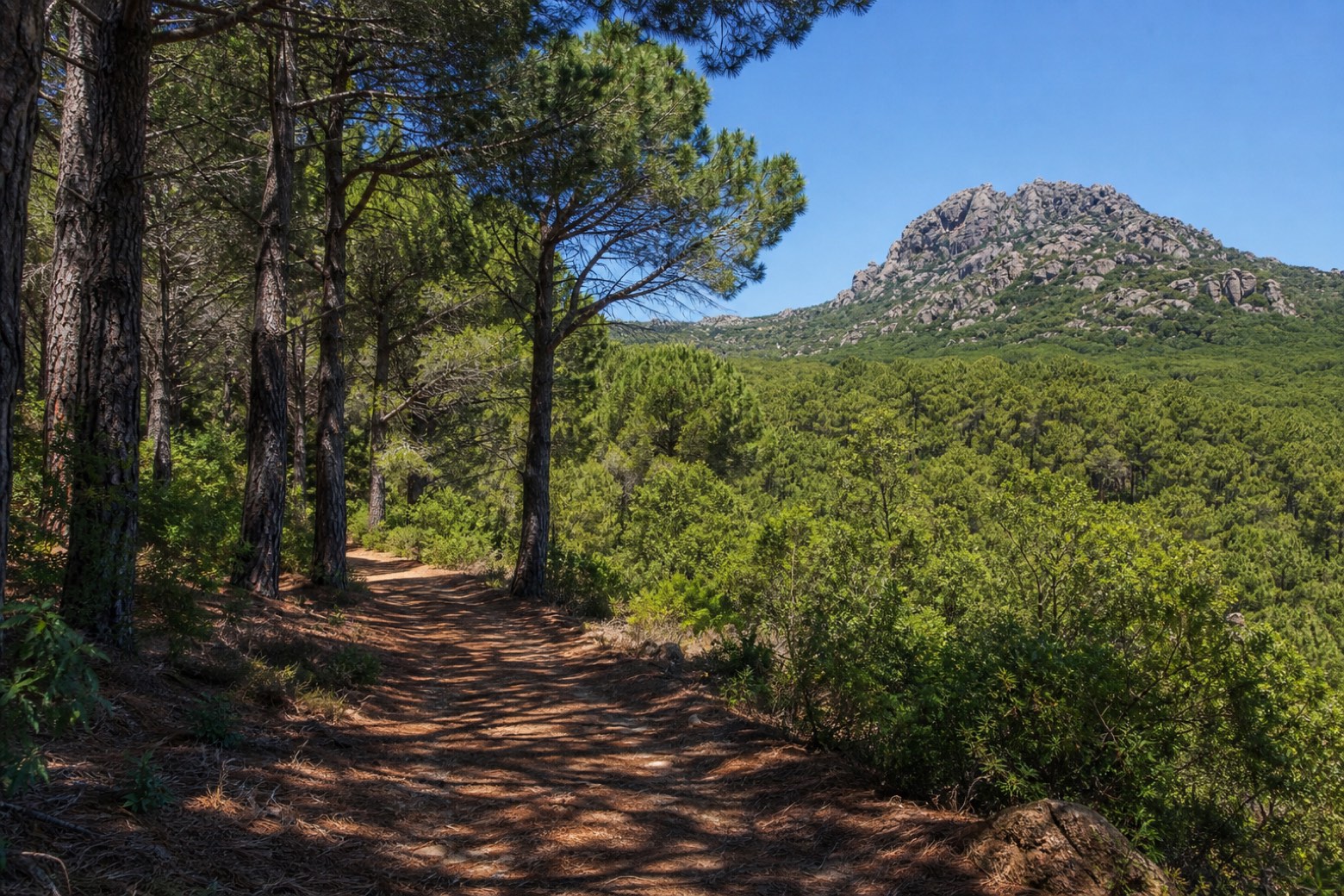
Stage information
- Ascent
- 270 m
- Descent
- 390 m
Difficulty: moderate
Walking the stage
The least documented tappa on the route, likely the old Barbagia devotional way, crosses the forest of Sorilis close to Monte Tantariles, which held the only perennial spring in the area, before reaching the sanctuary of San Paolo near Monti.
Before leaving Padru, locate Chiesa di Sant'Elia on the map. It is close to the starting point. On arrival in San Paolo, consider a stop at Chiesa di San Paolo Eremita, close to the finish.
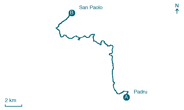
Look for these places on the stage map: Su Tirialzu, Mamusi, Sos Coddos, and Sos Rueddos.
What to see on this stage
History and landmarks
Chiesa di San Paolo Eremita
Church · < 100 m from the trail as the crow flies
Chiesa di Sant'Elia
Church · 800 m from the trail as the crow flies
Nature and landscape
Foresta di Sorilis
400 m from the trail as the crow flies
Map · Padru → San Paolo
Take your walk with you: download Appy
La Via dei Santuari: Padru → San Paolo. Explore maps, stages and elevation in the app, and plan your train or bus journey.

