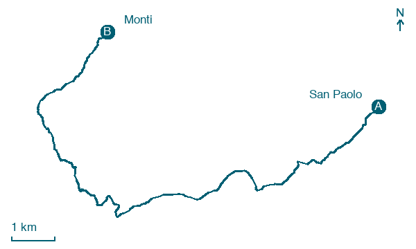
San Paolo → Monti
Walking distance 14.4 km
Download Appy for the stage map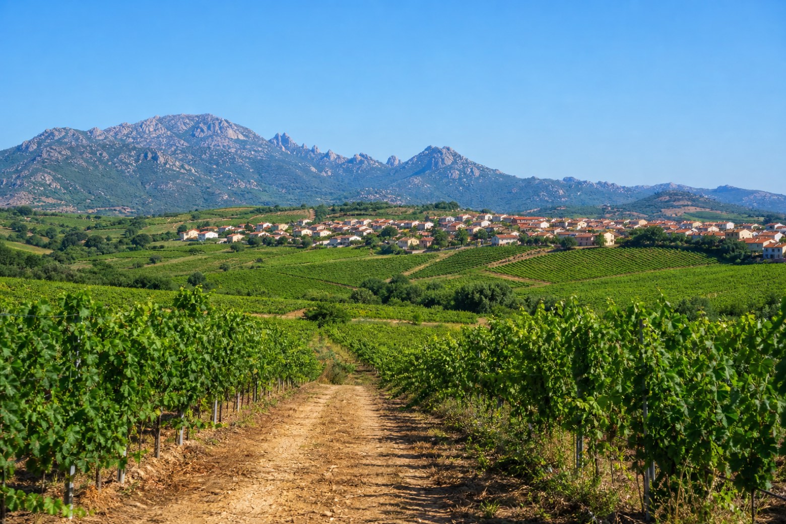
Stage information
- Ascent
- 236 m
- Descent
- 271 m
Difficulty: easy
Walking the stage
A vineyard dirt road leaves the main road behind and crosses Vermentino wine country, passing the natural pool of S'elighe, with the Monte Limbara massif visible about 14 km to the west, into the village of Monti, among its vineyards.
Before leaving San Paolo, locate Chiesa di San Paolo Eremita on the map. It is close to the starting point.
Look for these places on the stage map: Sos Rueddos and Zuighe.
What to see on this stage
History and landmarks
Chiesa di San Paolo Eremita
Church · < 100 m from the trail as the crow flies
Map · San Paolo → Monti
Take your walk with you: download Appy
La Via dei Santuari: San Paolo → Monti. Explore maps, stages and elevation in the app, and plan your train or bus journey.

