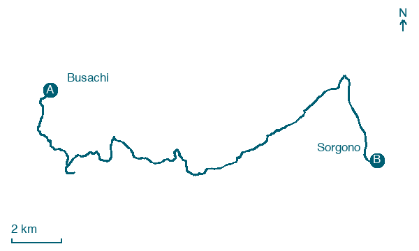
Busachi → Sorgono
Walking distance 25.9 km
Download Appy for the stage map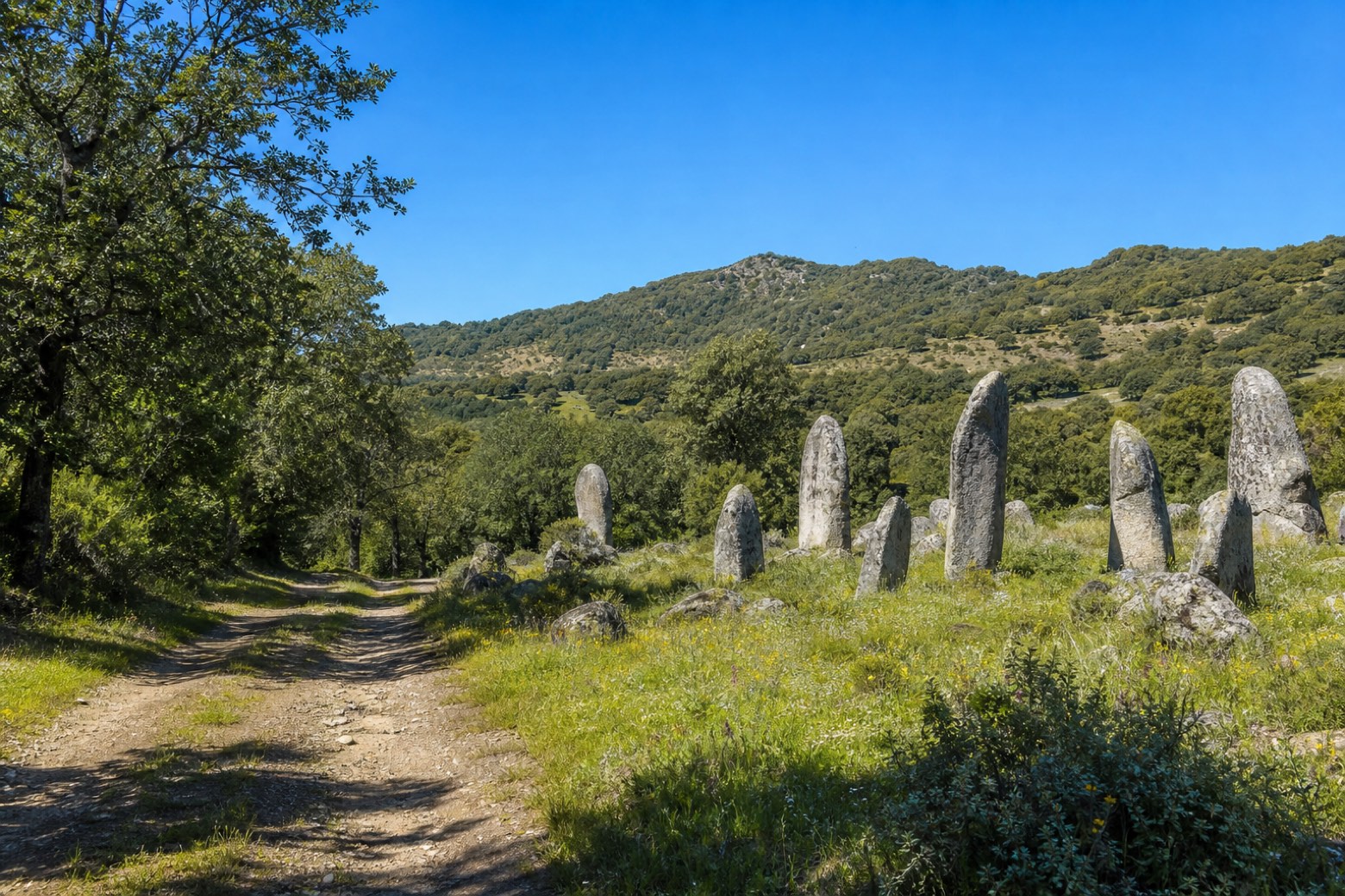
Stage information
- Ascent
- 422 m
- Descent
- 288 m
Difficulty: challenging
Walking the stage
A forest track climbs steadily into the wooded hills of the Mandrolisai, passing close by the standing stones of the Biru 'e Concas menhir field, before reaching the sanctuary of San Mauro on the edge of Sorgono, near the centre of the island.
Look for these places on the stage map: Santa Susanna and Ortueri.
What to see on this stage
Nature and landscape
Olivastro di Ortu Furadu, Busachi
Monumental tree · 100 m from the trail as the crow flies
Italy’s monumental tree register identifies this specimen as Olea europaea subsp. oleaster (Hoffmanns. & Link). It records a height of 12 m and a trunk circumference of 770 cm.
Bagolaro di Funtana Figassula, Atzara
Monumental tree · 1.7 km from the trail as the crow flies
Italy’s monumental tree register identifies this specimen as Celtis australis L. It records a height of 12.7 m and a trunk circumference of 438 cm.
Map · Busachi → Sorgono
Take your walk with you: download Appy
La Via dei Santuari: Busachi → Sorgono. Explore maps, stages and elevation in the app, and plan your train or bus journey.

