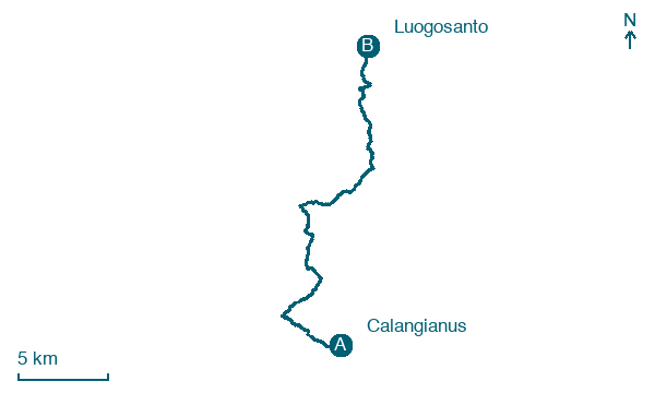
Calangianus → Luogosanto
Walking distance 27 km
Download Appy for the stage map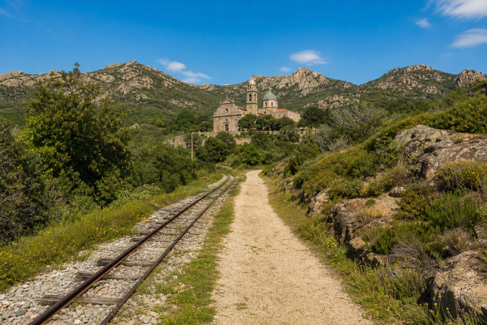
Stage information
- Ascent
- 485 m
- Descent
- 639 m
Difficulty: challenging
Walking the stage
The path runs partly alongside the old ARST narrow-gauge line through the granite hills of Gallura to the basilica of Nostra Signora di Luogosanto. On the night of 1 to 2 June this same stretch carries a torchlit night walk.
Before leaving Calangianus, locate Nostra Signora delle Grazie on the map. It is close to the starting point. On arrival in Luogosanto, consider a stop at Chiesa di S. Paolo (ex centro ospedaliero), close to the finish.
Look for these places on the stage map: Nuchis and Luris/Luras.
What to see on this stage
History and landmarks
Nostra Signora delle Grazie
400 m from the trail as the crow flies
Chiesa di S. Paolo (ex centro ospedaliero)
Church · < 100 m from the trail as the crow flies
Nature and landscape
Sughera di Crisciuleddu, Luogosanto
Monumental tree · 1.4 km from the trail as the crow flies
Italy’s monumental tree register identifies this specimen as Quercus suber L. It records a height of 20 m and a trunk circumference of 460 cm.
Map · Calangianus → Luogosanto
Take your walk with you: download Appy
La Via dei Santuari: Calangianus → Luogosanto. Explore maps, stages and elevation in the app, and plan your train or bus journey.

