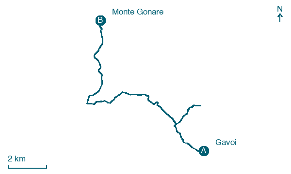
Gavoi → Monte Gonare
Walking distance 17.3 km
Download Appy for the stage map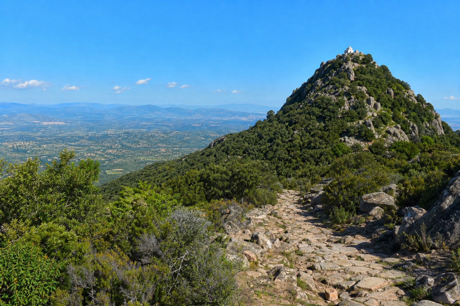
Stage information
- Ascent
- 436 m
- Descent
- 328 m
Difficulty: moderate
Walking the stage
A stony devotional path links three novenari in one day: Sa Itria, San Cosimo at Mamoiada, and the steep wooded cone of Monte Gonare, whose summit church is reached past the cumbessias of Sarule and Orani, with the Barbagia plateau spread out below.
On arrival in Monte Gonare, consider a stop at Monte Gonare, close to the finish.
What to see on this stage
History and landmarks
Nostra Signora di Gonare
200 m from the trail as the crow flies
Nature and landscape
Monte Gonare
Summit · 200 m from the trail as the crow flies
Map · Gavoi → Monte Gonare
Take your walk with you: download Appy
La Via dei Santuari: Gavoi → Monte Gonare. Explore maps, stages and elevation in the app, and plan your train or bus journey.

