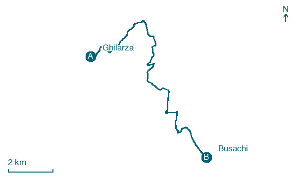
Ghilarza → Busachi
Walking distance 13.2 km
Download Appy for the stage map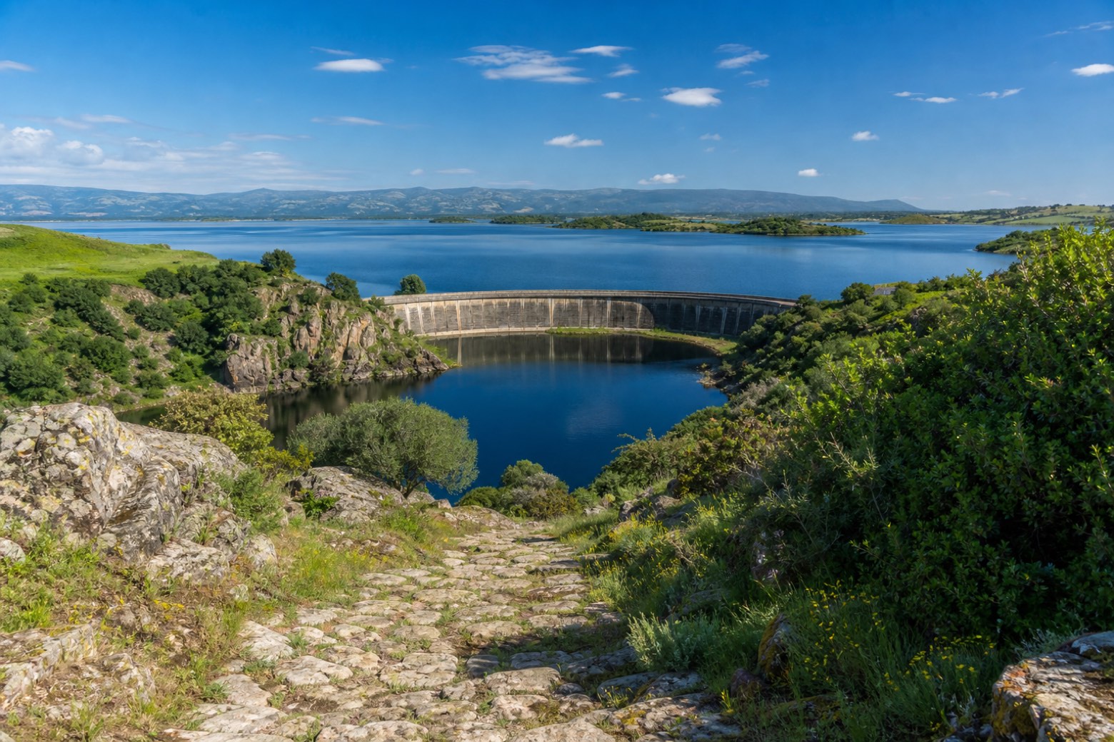
Stage information
- Ascent
- 252 m
- Descent
- 155 m
Difficulty: easy
Walking the stage
The route crosses the Tirso at the Diga di Santa Chiara, with Lago Omodeo a kilometre or two to the north, then climbs an old stone path into rural Barigadu to the stone-built hill town of Busachi, its houses raised in dark local stone above the valley.
Look for these places on the stage map: San Giovanni, San Serafino, and Santa Chiara del Tirso.
Map · Ghilarza → Busachi
Take your walk with you: download Appy
La Via dei Santuari: Ghilarza → Busachi. Explore maps, stages and elevation in the app, and plan your train or bus journey.

