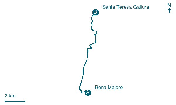
Rena Majore → Santa Teresa Gallura
Walking distance 10.8 km
Download Appy for the stage map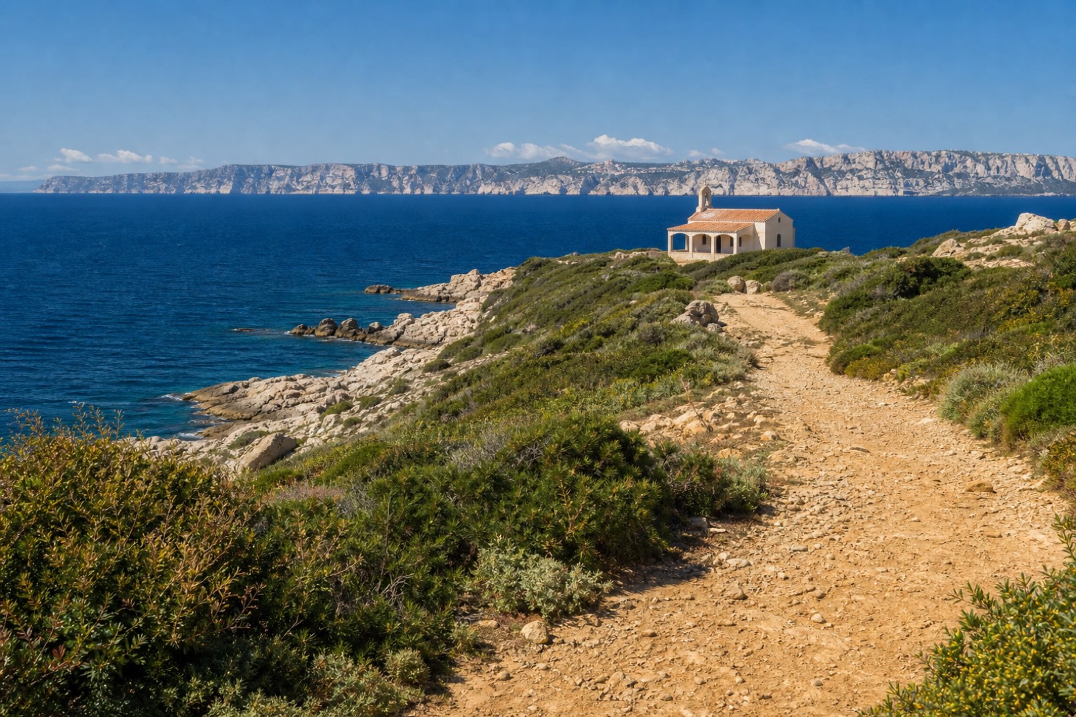
Stage information
- Ascent
- 36 m
- Descent
- 85 m
Difficulty: easy
Walking the stage
A short final stage on a coastal dirt path leads to the Chiesa del Buon Cammino in Santa Teresa Gallura, the route's end, with the white cliffs of Bonifacio in Corsica visible about 12 km across the Bocche di Bonifacio, the last view of the cammino.
On arrival in Santa Teresa Gallura, consider a stop at Torre di Longonsardo, close to the finish.
Look for these places on the stage map: Malchisana.
What to see on this stage
History and landmarks
Torre di Longonsardo
Tower · 900 m from the trail as the crow flies
Map · Rena Majore → Santa Teresa Gallura
Take your walk with you: download Appy
La Via dei Santuari: Rena Majore → Santa Teresa Gallura. Explore maps, stages and elevation in the app, and plan your train or bus journey.

