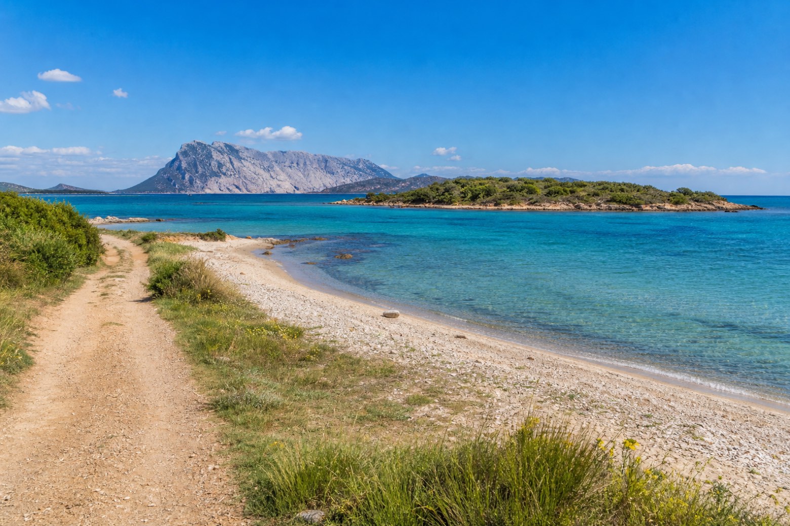
Cammino 100 Torri: Via Gallura
Sardegna, Italy
Italy · Budoni, Italy → Castelsardo, Italy
Distance
248 km
Stages
12
Difficulty
moderate
Best months
Mar-Jun, Sep-Nov
Cammino 100 Torri: Via Gallura · Stages and distances
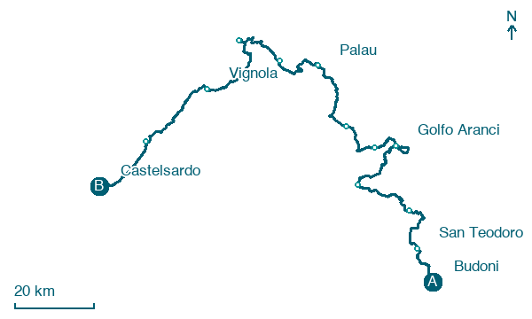
Walking distances for Appy’s stages (12)
| Stage | km |
|---|---|
| 1. Budoni → San Teodoro | 12.2 |
| 2. San Teodoro → Porto Taverna | 20.7 |
| 3. Porto Taverna → Olbia | 20.8 |
| 4. Olbia → Golfo Aranci | 22.2 |
| 5. Golfo Aranci → Marinella | 21.2 |
| 6. Marinella → San Pantaleo | 14.2 |
| 7. San Pantaleo → Palau | 25 |
| 8. Palau → Porto Pozzo | 18.1 |
| 9. Porto Pozzo → Capo Testa | 19 |
| 10. Capo Testa → Vignola | 25.5 |
| 11. Vignola → Isola Rossa | 29.9 |
| 12. Isola Rossa → Castelsardo | 19.5 |
| Total | 248.3 |
About
Via Gallura is the fourth of the eight vie in the Cammino 100 Torri, the ring walk around Sardinia's coast past its historic watchtowers; it continues from Via Ogliastra at Budoni and hands on to Via Catalana at Castelsardo. The longest via of the ring, it runs the granite coast facing Tavolara and the La Maddalena archipelago past Olbia, Palau and Santa Teresa Gallura.
Stages
12 stages
- Stage 1
- Distance
- 12 km
- Ascent
- 112 m
- Descent
- 111 m
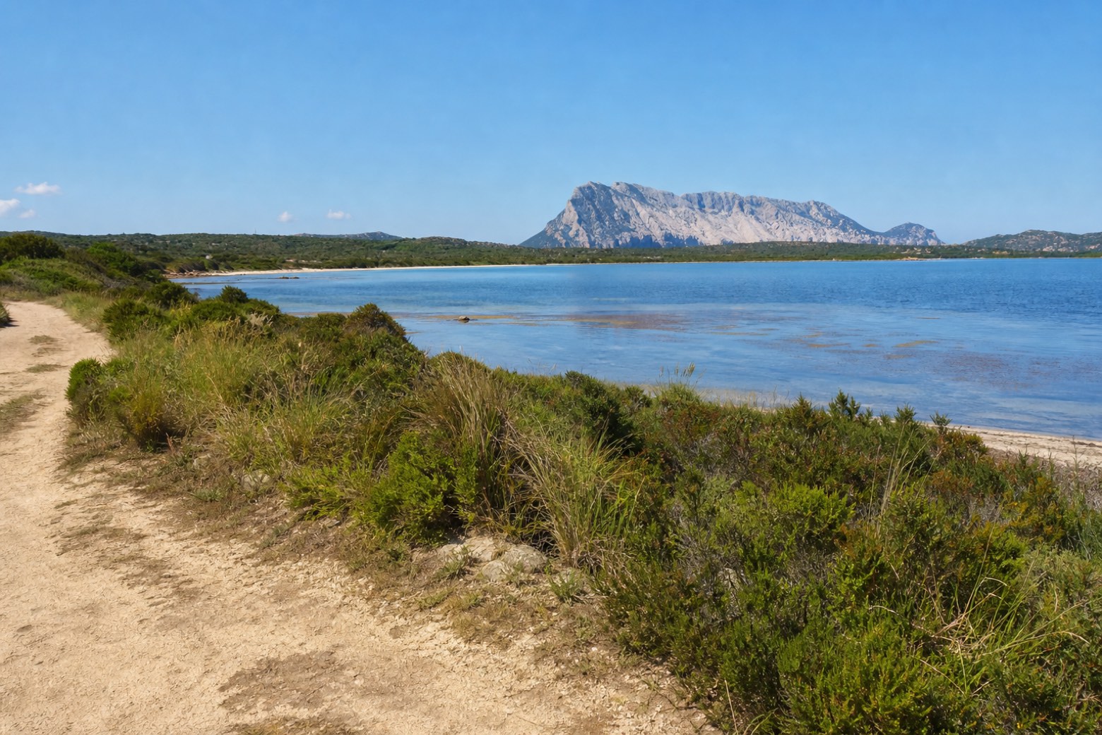 Stage 2
San Teodoro → Porto Taverna
moderate- Distance
- 21 km
- Ascent
- 123 m
- Descent
- 127 m
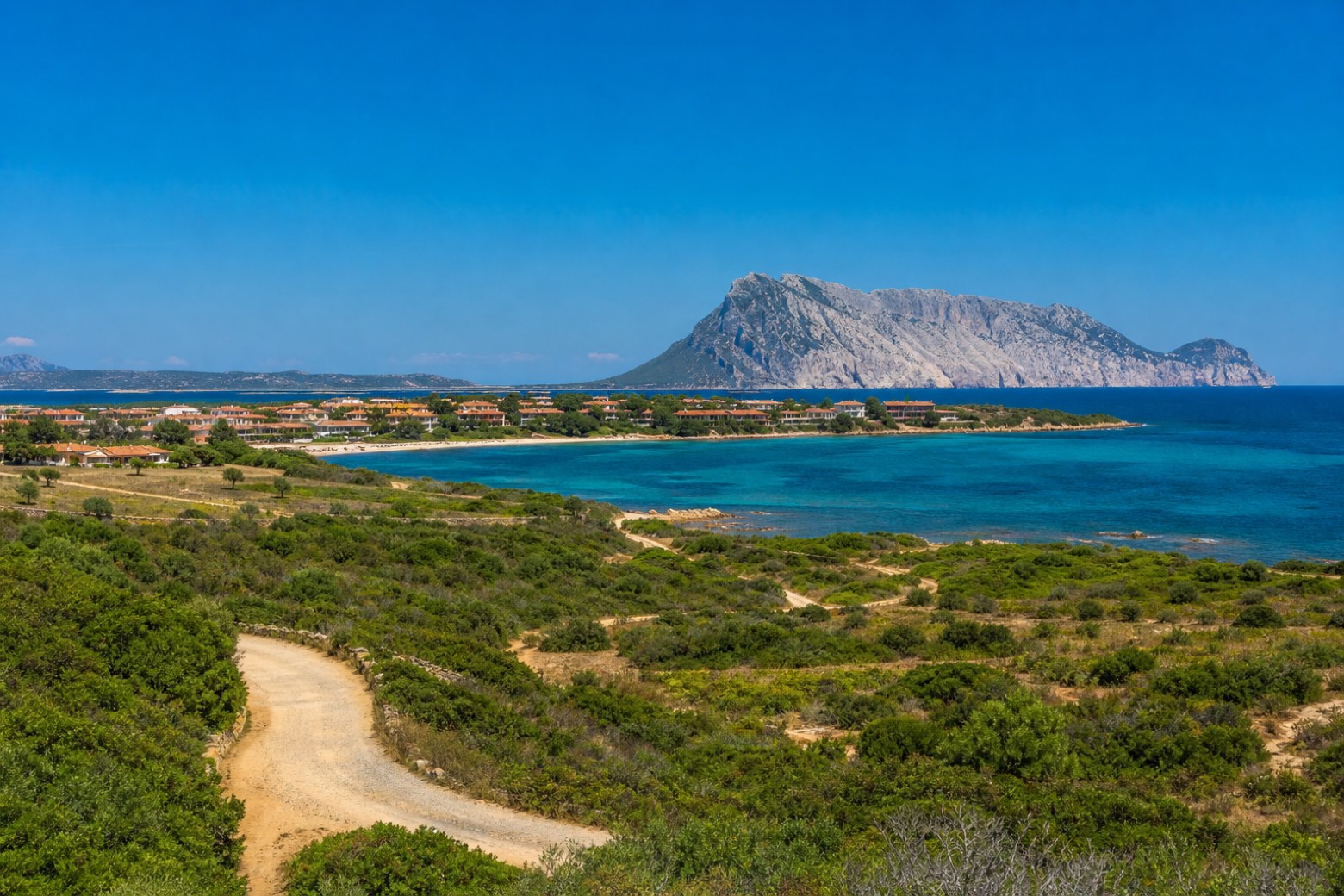 Stage 3
Porto Taverna → Olbia
moderate- Distance
- 21 km
- Ascent
- 26 m
- Descent
- 37 m
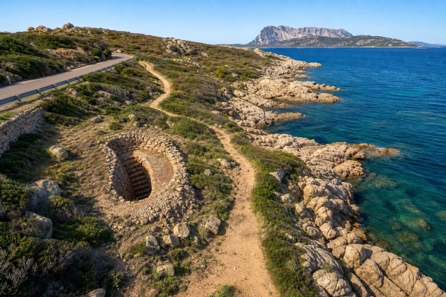 Stage 4
Olbia → Golfo Aranci
moderate- Distance
- 22 km
- Ascent
- 85 m
- Descent
- 91 m
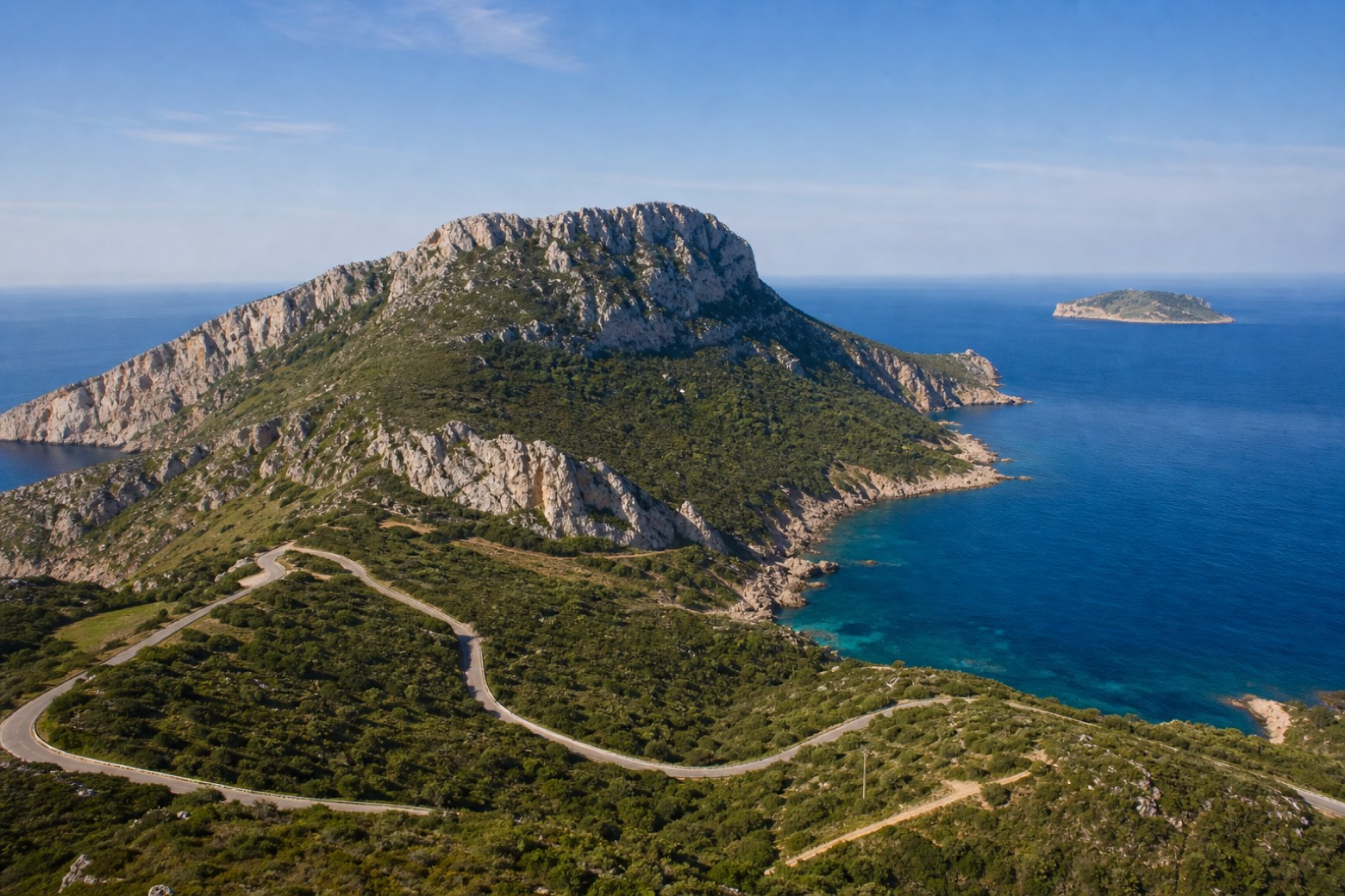 Stage 5
Golfo Aranci → Marinella
moderate- Distance
- 21 km
- Ascent
- 383 m
- Descent
- 371 m
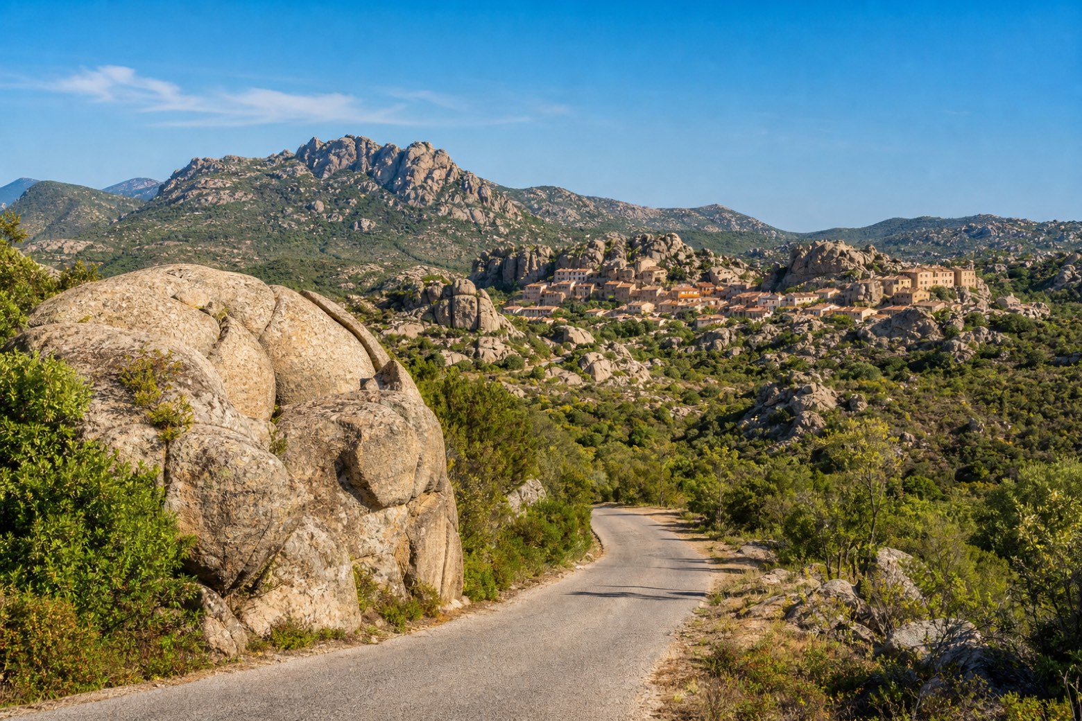 Stage 6
- Distance
- 14 km
- Ascent
- 358 m
- Descent
- 197 m
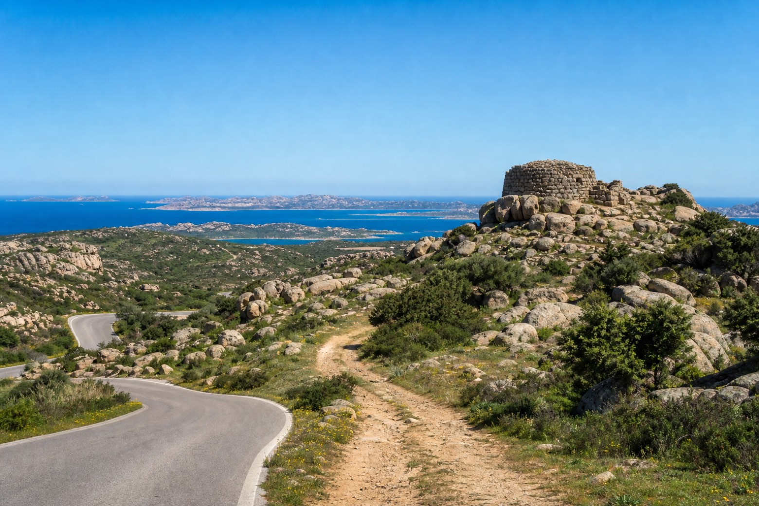 Stage 7
San Pantaleo → Palau
moderate- Distance
- 25 km
- Ascent
- 92 m
- Descent
- 244 m
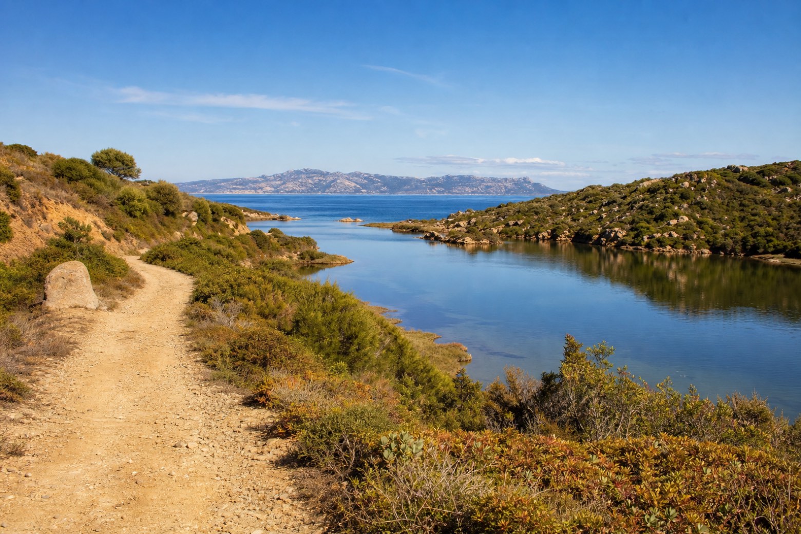 Stage 8
Palau → Porto Pozzo
moderate- Distance
- 18 km
- Ascent
- 138 m
- Descent
- 146 m
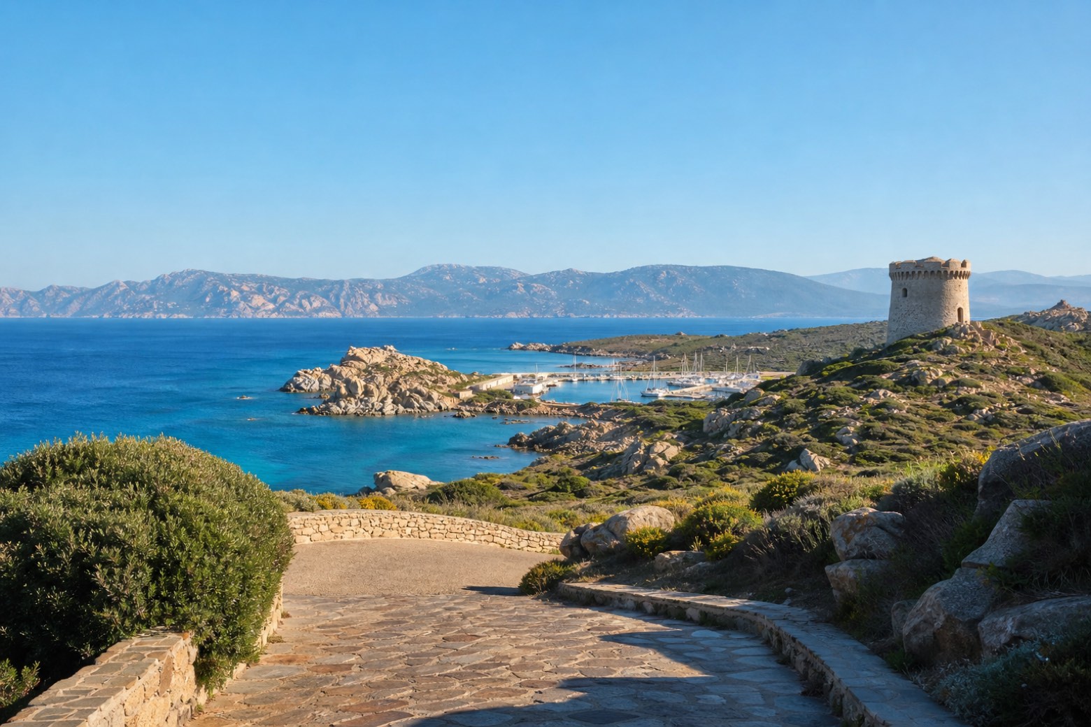 Stage 9
Porto Pozzo → Capo Testa
moderate- Distance
- 19 km
- Ascent
- 278 m
- Descent
- 227 m
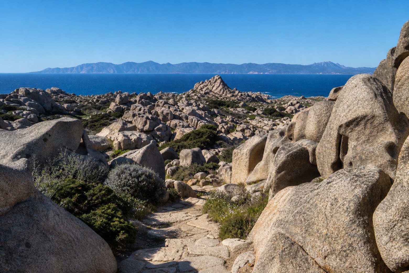 Stage 10
Capo Testa → Vignola
moderate- Distance
- 26 km
- Ascent
- 180 m
- Descent
- 207 m
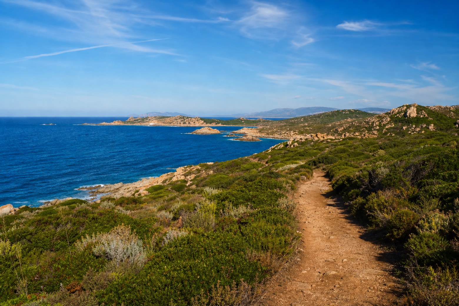 Stage 11
Vignola → Isola Rossa
challenging- Distance
- 30 km
- Ascent
- 268 m
- Descent
- 278 m
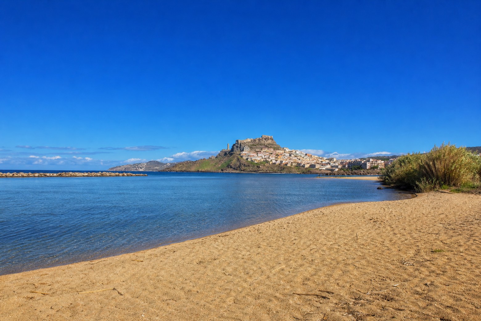 Stage 12
Isola Rossa → Castelsardo
moderate- Distance
- 20 km
- Ascent
- 120 m
- Descent
- 27 m
Travel
Find connections for your cammino.
Search trainsMore walks in Italy
Plan your walking trip
All articles and guidesHow to choose a walking route: stages, days and ascent
How many days can you actually spend walking? Start there, then choose stages that leave you time to stop along the way.
How to plan a walking trip by train and bus
Two different stations, a last bus and a backpack. Fit the journeys out and home around the days you want to spend walking.
Take your walk with you: download Appy
Cammino 100 Torri: Via Gallura. Explore maps, stages and elevation in the app, and plan your train or bus journey.

