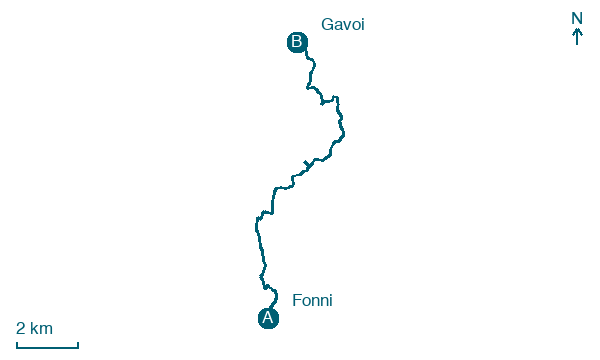
Fonni → Gavoi
Walking distance 14.4 km
Download Appy for the stage map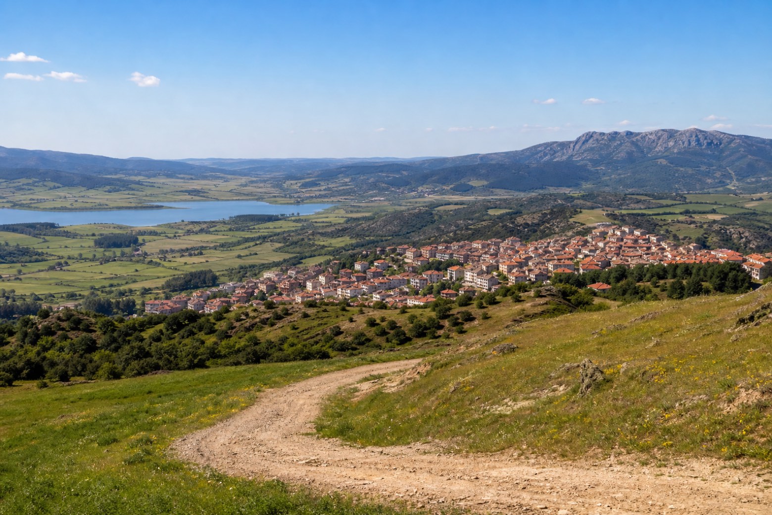
Stage information
- Ascent
- 137 m
- Descent
- 503 m
Difficulty: easy
Walking the stage
An upland dirt road leaves Fonni, the highest village in Sardinia, and crosses open plateau country with Lake Govossai and the Pratobello plain in view, to the novenario of Sa Itria on the plateau above Gavoi. A short, gentle stage after the previous day's climb.
What to see on this stage
History and landmarks
Sanctuary of the Vergine dei Martiri, Fonni
< 100 m from the trail as the crow flies
Map · Fonni → Gavoi
Take your walk with you: download Appy
La Via dei Santuari: Fonni → Gavoi. Explore maps, stages and elevation in the app, and plan your train or bus journey.

