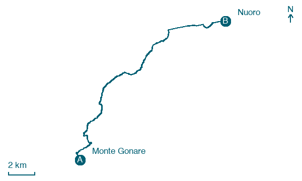
Monte Gonare → Nuoro
Walking distance 19.5 km
Download Appy for the stage map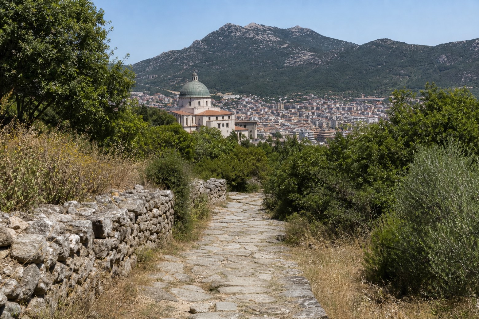
Stage information
- Ascent
- 133 m
- Descent
- 582 m
Difficulty: moderate
Walking the stage
The old devotional mule track between Nuoro and Gonare, largely spared from asphalt, leads to the church of the Madonna delle Grazie and the Rosario church in Nuoro, with Monte Ortobene rising about 3 km to the east. A longer stage.
Before leaving Monte Gonare, locate Monte Gonare on the map. It is close to the starting point.
Look for these places on the stage map: Orane/Orani and Predas Arbas.
What to see on this stage
History and landmarks
Nostra Signora di Gonare
200 m from the trail as the crow flies
Nature and landscape
Monte Gonare
Summit · 200 m from the trail as the crow flies
Map · Monte Gonare → Nuoro
Take your walk with you: download Appy
La Via dei Santuari: Monte Gonare → Nuoro. Explore maps, stages and elevation in the app, and plan your train or bus journey.

