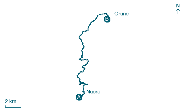
Nuoro → Orune
Walking distance 20.8 km
Download Appy for the stage map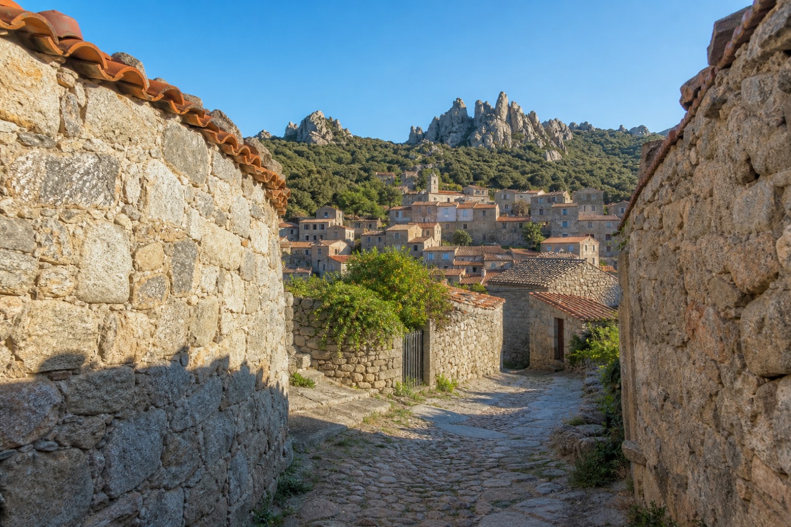
Stage information
- Ascent
- 644 m
- Descent
- 419 m
Difficulty: moderate
Walking the stage
A granite path leads through Lollove, a hamlet of stone houses where, locals say, time stopped, then continues among rock pinnacles and holm-oak woods to Santa Maria Maggiore in Orune, a church known for its frescoes, at the end of the stage.
Look for these places on the stage map: Lollove and Su Pradu.
What to see on this stage
Nature and landscape
Olivastro di Muru Ghirau, Nuoro
Monumental tree · 600 m from the trail as the crow flies
Italy’s monumental tree register identifies this specimen as Olea europaea subsp. oleaster (Hoffmanns. & Link). It records a height of 6.2 m and a trunk circumference of 609 cm.
Leccio di Valverde, Nuoro
Monumental tree · 1 km from the trail as the crow flies
Italy’s monumental tree register identifies this specimen as Quercus ilex L. It records a height of 12.3 m and a trunk circumference of 410 cm.
Map · Nuoro → Orune
Take your walk with you: download Appy
La Via dei Santuari: Nuoro → Orune. Explore maps, stages and elevation in the app, and plan your train or bus journey.

