San Salvatore di Sinis → Putzu Idu
Walking distance 18 km
Download Appy for the stage map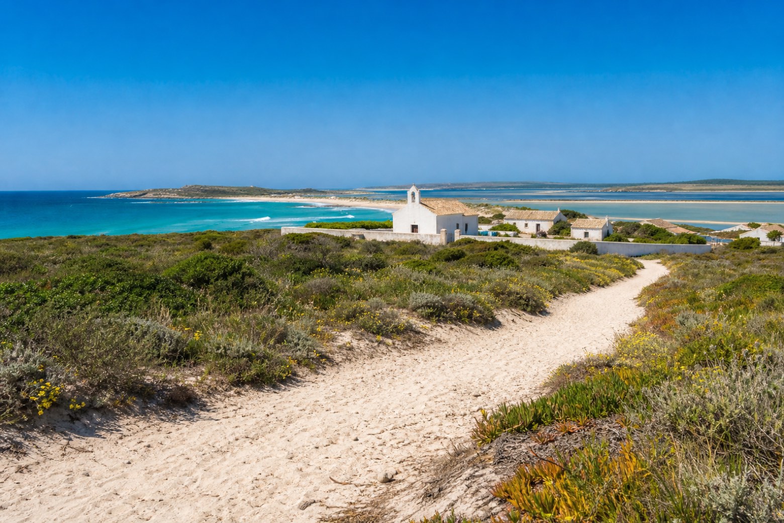
Stage information
- Ascent
- 86 m
- Descent
- 81 m
Difficulty: moderate
Walking the stage
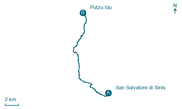
From the low white cumbessias of the San Salvatore di Sinis novenario, a sandy farm track follows the Sinis coast past quartz sand beaches and low cliffs, the lagoons and open sea always in sight to the west. The stage ends at the small resort of Putzu Idu.
Before leaving San Salvatore di Sinis, locate San Salvatore on the map. It is close to the starting point.
What to see on this stage
History and landmarks
San Salvatore
Archaeological site · < 100 m from the trail as the crow flies
Map · San Salvatore di Sinis → Putzu Idu
Take your walk with you: download Appy
La Via dei Santuari: San Salvatore di Sinis → Putzu Idu. Explore maps, stages and elevation in the app, and plan your train or bus journey.

