Sorgono → Tiana
Walking distance 17.5 km
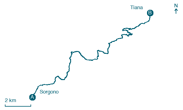
Download Appy for the stage map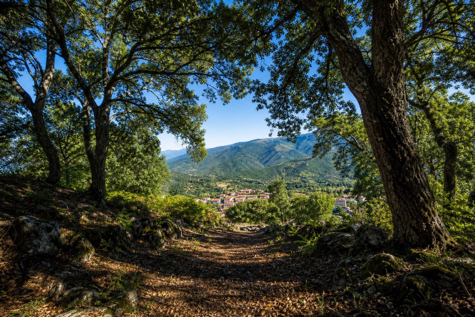
Stage information
- Ascent
- 511 m
- Descent
- 497 m
Difficulty: moderate
Walking the stage
Almost the whole day is spent under holm oaks in the wooded Gennargentu foothills, passing the Carta brothers' sheepfold before Tiana's roofs appear at the forest edge. The roadbook says a guide is required here: the forest paths are unmarked and it is easy to lose the way.
What to see on this stage
Nature and landscape
Frassino meridionale di Santu Luisu, Sorgono
Monumental tree · 200 m from the trail as the crow flies
Italy’s monumental tree register identifies this specimen as Fraxinus angustifolia Vahl subsp. oxycarpa (Willd.) Franco & Rocha Afonso. It records a height of 31 m and a trunk circumference of 460 cm.
Roverella di Bau Andala, Sorgono
Monumental tree · 500 m from the trail as the crow flies
Italy’s monumental tree register identifies this specimen as Quercus pubescens Willd. It records a height of 23 m and a trunk circumference of 516 cm.
Map · Sorgono → Tiana
Take your walk with you: download Appy
La Via dei Santuari: Sorgono → Tiana. Explore maps, stages and elevation in the app, and plan your train or bus journey.

