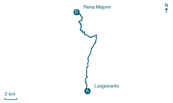
Luogosanto → Rena Majore
Walking distance 18.8 km
Download Appy for the stage map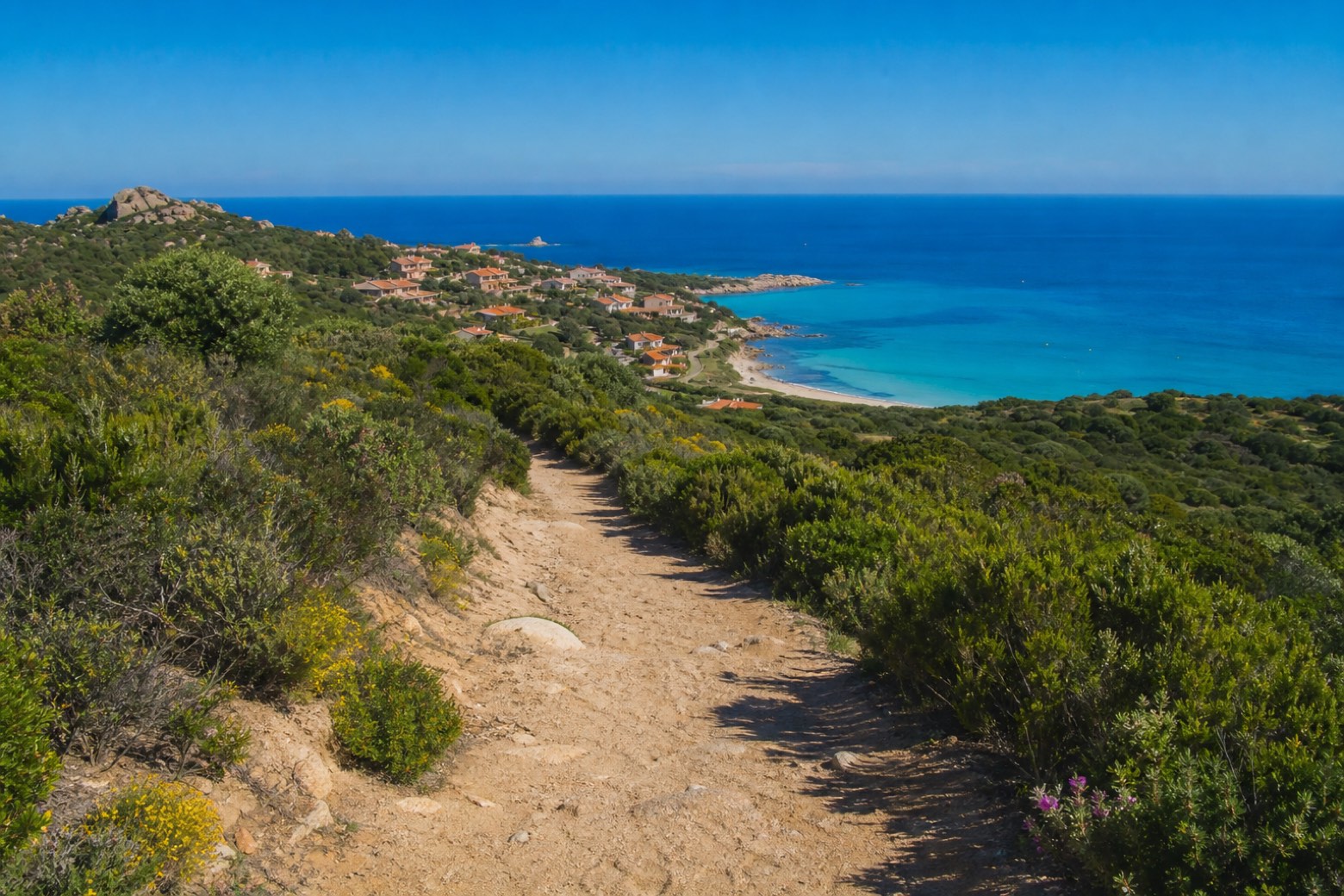
Stage information
- Ascent
- 195 m
- Descent
- 433 m
Difficulty: moderate
Walking the stage
Eleven easy kilometres give way to about 8 km of hills and maquis before the trail drops to the hamlet of Rena Majore, above the turquoise beach of Rena Majori, 1 to 2 km below. The gentlest stage of the run north, close to the route's end.
Before leaving Luogosanto, locate Chiesa di S. Paolo (ex centro ospedaliero) on the map. It is close to the starting point.
Look for these places on the stage map: Chessa and Residenza dell'Aquila.
What to see on this stage
History and landmarks
Chiesa di S. Paolo (ex centro ospedaliero)
Church · 500 m from the trail as the crow flies
Nature and landscape
Sughera di Crisciuleddu, Luogosanto
Monumental tree · 1.1 km from the trail as the crow flies
Italy’s monumental tree register identifies this specimen as Quercus suber L. It records a height of 20 m and a trunk circumference of 460 cm.
Map · Luogosanto → Rena Majore
Take your walk with you: download Appy
La Via dei Santuari: Luogosanto → Rena Majore. Explore maps, stages and elevation in the app, and plan your train or bus journey.

